|
|
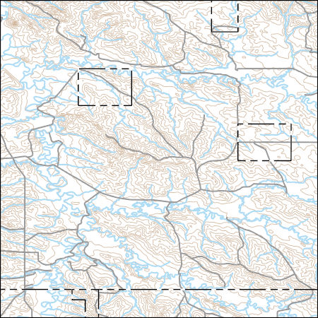
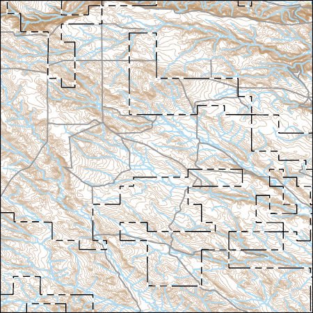
Layers of geospatial data include contours, boundaries, land cover, hydrography, roads, transportation, geographic names, structures, and other selected map features.
Types: Citation;
Tags: 7.5 x 7.5 minute,
7.5 x 7.5 minute,
Carter County,
Combined Vector,
Combined Vector, All tags...
Combined Vector,
Downloadable Data,
Fallon County,
FileGDB 10.1,
FileGDB 10.1,
MT,
Montana,
Public Land Survey System,
US,
United States,
boundary,
contours,
geographic names,
hydrography,
structures,
transportation,
woodland, Fewer tags
|
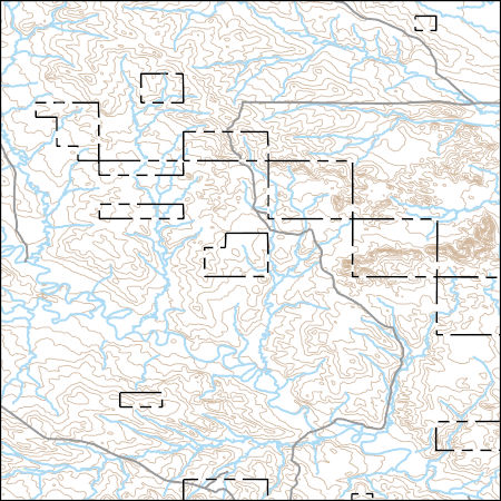
Layers of geospatial data include contours, boundaries, land cover, hydrography, roads, transportation, geographic names, structures, and other selected map features.
Types: Citation;
Tags: 7.5 x 7.5 minute,
7.5 x 7.5 minute,
Combined Vector,
Combined Vector,
Combined Vector, All tags...
Downloadable Data,
FileGDB 10.1,
FileGDB 10.1,
MT,
Montana,
Public Land Survey System,
Rosebud County,
US,
United States,
boundary,
contours,
geographic names,
hydrography,
structures,
transportation,
woodland, Fewer tags
|
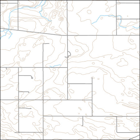
Layers of geospatial data include contours, boundaries, land cover, hydrography, roads, transportation, geographic names, structures, and other selected map features.
Types: Citation;
Tags: 7.5 x 7.5 minute,
7.5 x 7.5 minute,
Blaine County,
Combined Vector,
Combined Vector, All tags...
Combined Vector,
Downloadable Data,
FileGDB 10.1,
FileGDB 10.1,
MT,
Montana,
Public Land Survey System,
US,
United States,
boundary,
contours,
geographic names,
hydrography,
structures,
transportation,
woodland, Fewer tags
|
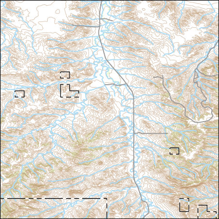
Layers of geospatial data include contours, boundaries, land cover, hydrography, roads, transportation, geographic names, structures, and other selected map features.
Types: Citation;
Tags: 7.5 x 7.5 minute,
7.5 x 7.5 minute,
Combined Vector,
Combined Vector,
Combined Vector, All tags...
Downloadable Data,
MT,
Montana,
Public Land Survey System,
Rosebud County,
Shapefile,
Shapefile,
Treasure County,
US,
United States,
boundary,
contours,
geographic names,
hydrography,
structures,
transportation,
woodland, Fewer tags
|
Layers of geospatial data include contours, boundaries, land cover, hydrography, roads, transportation, geographic names, structures, and other selected map features.
Types: Citation;
Tags: 7.5 x 7.5 minute,
7.5 x 7.5 minute,
Combined Vector,
Combined Vector,
Combined Vector, All tags...
Downloadable Data,
MT,
Montana,
Public Land Survey System,
Shapefile,
Shapefile,
US,
United States,
Valley County,
boundary,
contours,
geographic names,
hydrography,
structures,
transportation,
woodland, Fewer tags
|
View more...
|