Potential range land for grazing cattle in the United States Pacific Northwest
Dates
Publication Date
2013-05-01
Time Period
2002-01-01
Summary
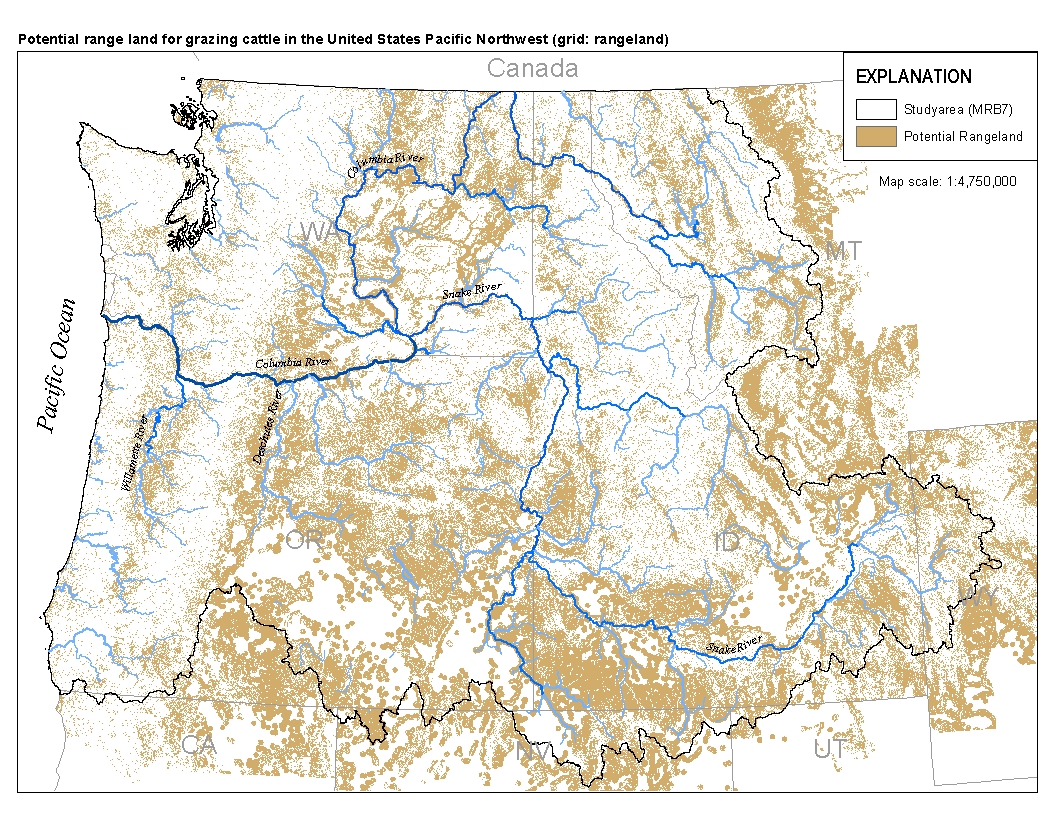
This spatial data set was created by the U.S. Geological Survey (USGS) to represent the extent of land in the Pacific Northwest region of the United States (Hydro Region 17; Major River Basin 7 (MRB7)) that potentially received waste from grazing cattle in 2002.
Summary
This spatial data set was created by the U.S. Geological Survey (USGS) to represent the extent of land in the Pacific Northwest region of the United States (Hydro Region 17; Major River Basin 7 (MRB7)) that potentially received waste from grazing cattle in 2002.
This data set was intended to represent spatially explicit land use in the application of the SPARROW (SPAtially Referenced Regressions On Watershed attributes) model to assess total nitrogen and total phosphorus conditions in surface water in Major River Basin 7 (MRB7) using the National Hydrography Dataset as a hydrologic framework.