Filters: Extensions: OGC Web Service (X)
Folders: ROOT > ScienceBase Catalog > SageDAT -- Original ( Show direct descendants )
2 results (7ms)
Location
Folder
ROOT _ScienceBase Catalog __SageDAT -- Original Filters
Date Range
Extensions Types Contacts Categories Tag Types Tag Schemes |

USGS developed The National Map (TNM) Gazetteer as the Federal and national standard (ANSI INCITS 446-2008) for geographic nomenclature based on the Geographic Names Information System (GNIS). The National Map Gazetteer contains information about physical and cultural geographic features, geographic areas, and locational entities that are generally recognizable and locatable by name (have achieved some landmark status) and are of interest to any level of government or to the public for any purpose that would lead to the representation of the feature in printed or electronic maps and/or geographic information systems. The dataset includes features of all types in the United States, its associated areas, and Antarctica,...
Categories: Data;
Types: ArcGIS REST Map Service,
Map Service,
OGC WFS Layer,
OGC WMS Layer;
Tags: BGN,
Cultural Resources,
GNIS,
Geographic Names,
NGP-TNM,

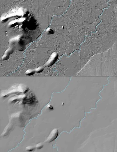
The USGS 3D Elevation Program (3DEP) Datasets from The National Map are the primary elevation data product produced and distributed by the USGS. The 3DEP program provides a variety of resolution raster elevation data of the conterminous United States, Alaska, Hawaii, and the island territories. Some of the data sets such as the 1/3rd arc-second and 1 arc-second data set are derived from diverse source data sets that are processed to a specification with a consistent resolution, coordinate system, elevation units, and horizontal and vertical datums. These seamless DEMs were referred to as the National Elevation Dataset (NED) from about 2000 through 2015 at which time they became the seamless DEM layers under the...
|