Location
Folder
Show Tree
ROOT
_ScienceBase Catalog
__National Geospatial Program
___The National Map
____USGS National Transportation Dataset (NTD) Downloadable Data Collection
Filters
Date Range
Contacts
Tag Types
Tag Schemes
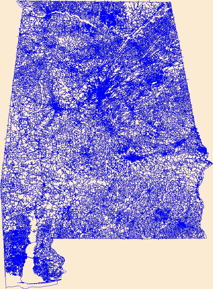
Layers of geospatial data include roads, airports, trails, and railroads.
Tags:
AL ,
Airport Complex ,
Airport Point ,
Airport Runway ,
Airports ,
All tags... Airstrips ,
Alabama ,
Autauga ,
Baldwin ,
Barbour ,
Bibb ,
Blount ,
Bullock ,
Butler ,
Calhoun ,
Chambers ,
Cherokee ,
Chilton ,
Choctaw ,
Clarke ,
Clay ,
Cleburne ,
Coffee ,
Colbert ,
Conecuh ,
Coosa ,
Covington ,
Crenshaw ,
Cullman ,
Dale ,
Dallas ,
DeKalb ,
Downloadable Data ,
Elmore ,
Escambia ,
Esri Shapefile nan ,
Etowah ,
Fayette ,
Franklin ,
Geneva ,
Geographic names ,
Greene ,
Hale ,
Henry ,
Houston ,
Jackson ,
Jefferson ,
Lamar ,
Lauderdale ,
Lawrence ,
Lee ,
Limestone ,
Lowndes ,
Macon ,
Madison ,
Marengo ,
Marion ,
Marshall ,
Mobile ,
Monroe ,
Montgomery ,
Morgan ,
National Transportation Dataset (NTD) ,
National Transportation Dataset (NTD) ,
Perry ,
Pickens ,
Pike ,
Railways ,
Randolph ,
Roads ,
Russell ,
Shapefile ,
Shelby ,
St. Clair ,
State ,
State ,
Sumter ,
Talladega ,
Tallapoosa ,
Trail ,
Trails ,
Transportation ,
Transportation ,
Tuscaloosa ,
US ,
United States ,
Walker ,
Washington ,
Waterway ,
Wilcox ,
Winston ,
transportation , Fewer tags
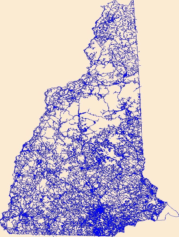
Layers of geospatial data include roads, airports, trails, and railroads.
Tags:
Airport Complex ,
Airport Point ,
Airport Runway ,
Airports ,
Airstrips ,
All tags... Belknap ,
Carroll ,
Cheshire ,
Coos ,
Downloadable Data ,
Esri Shapefile nan ,
Geographic names ,
Grafton ,
Hillsborough ,
Merrimack ,
NH ,
National Transportation Dataset (NTD) ,
National Transportation Dataset (NTD) ,
New Hampshire ,
Railways ,
Roads ,
Rockingham ,
Shapefile ,
State ,
State ,
Strafford ,
Sullivan ,
Trail ,
Trails ,
Transportation ,
Transportation ,
US ,
United States ,
Waterway ,
transportation , Fewer tags
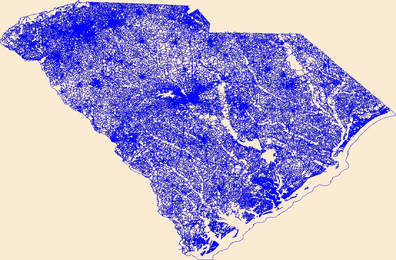
Layers of geospatial data include roads, airports, trails, and railroads.
Tags:
Abbeville ,
Aiken ,
Airport Complex ,
Airport Point ,
Airport Runway ,
All tags... Airports ,
Airstrips ,
Allendale ,
Anderson ,
Bamberg ,
Barnwell ,
Beaufort ,
Berkeley ,
Calhoun ,
Charleston ,
Cherokee ,
Chester ,
Chesterfield ,
Clarendon ,
Colleton ,
Darlington ,
Dillon ,
Dorchester ,
Downloadable Data ,
Edgefield ,
Esri Shapefile nan ,
Fairfield ,
Florence ,
Geographic names ,
Georgetown ,
Greenville ,
Greenwood ,
Hampton ,
Horry ,
Jasper ,
Kershaw ,
Lancaster ,
Laurens ,
Lee ,
Lexington ,
Marion ,
Marlboro ,
McCormick ,
National Transportation Dataset (NTD) ,
National Transportation Dataset (NTD) ,
Newberry ,
Oconee ,
Orangeburg ,
Pickens ,
Railways ,
Richland ,
Roads ,
SC ,
Saluda ,
Shapefile ,
South Carolina ,
Spartanburg ,
State ,
State ,
Sumter ,
Trail ,
Trails ,
Transportation ,
Transportation ,
US ,
Union ,
United States ,
Waterway ,
Williamsburg ,
York ,
transportation , Fewer tags
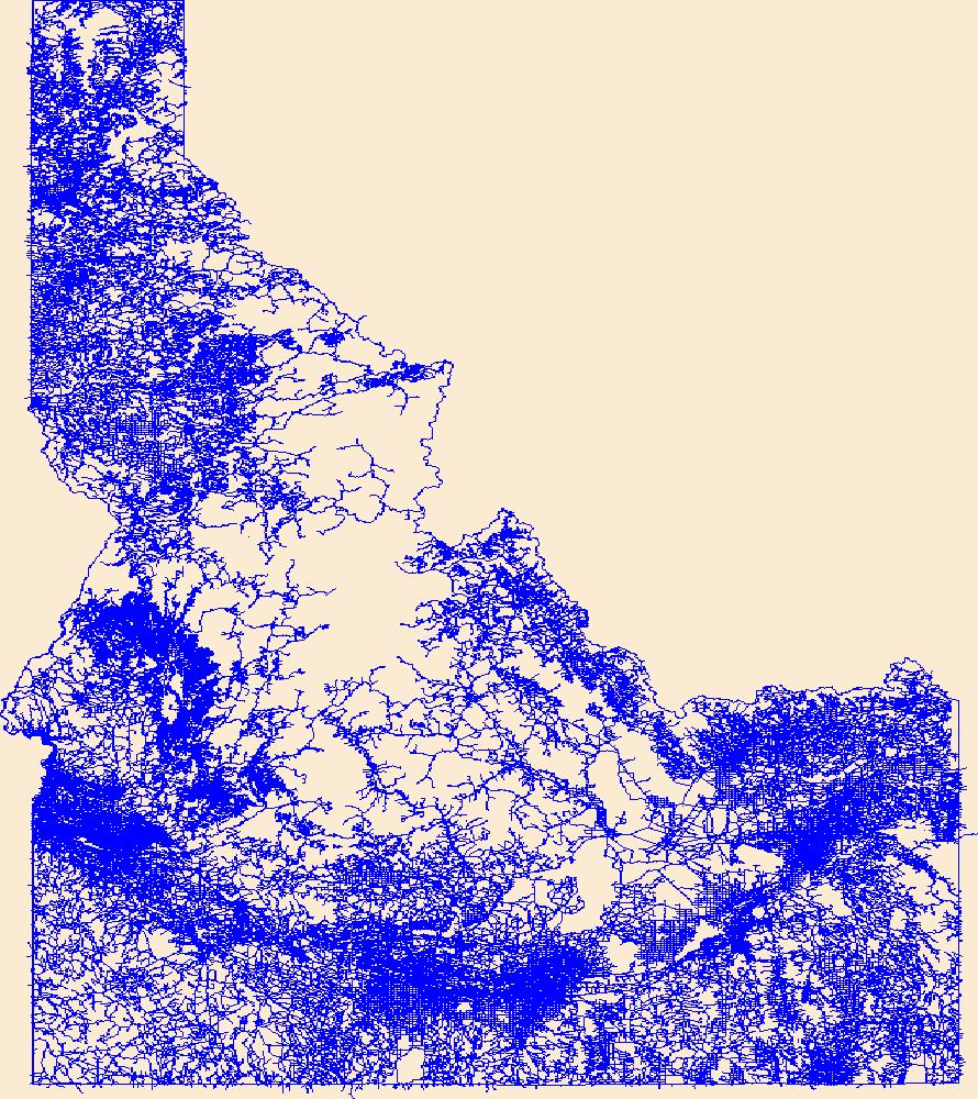
Layers of geospatial data include roads, airports, trails, and railroads.
Tags:
Ada ,
Adams ,
Airport Complex ,
Airport Point ,
Airport Runway ,
All tags... Airports ,
Airstrips ,
Bannock ,
Bear Lake ,
Benewah ,
Bingham ,
Blaine ,
Boise ,
Bonner ,
Bonneville ,
Boundary ,
Butte ,
Camas ,
Canyon ,
Caribou ,
Cassia ,
Clark ,
Clearwater ,
Custer ,
Downloadable Data ,
Elmore ,
Esri Shapefile nan ,
Franklin ,
Fremont ,
Gem ,
Geographic names ,
Gooding ,
ID ,
Idaho ,
Idaho ,
Jefferson ,
Jerome ,
Kootenai ,
Latah ,
Lemhi ,
Lewis ,
Lincoln ,
Madison ,
Minidoka ,
National Transportation Dataset (NTD) ,
National Transportation Dataset (NTD) ,
Nez Perce ,
Oneida ,
Owyhee ,
Payette ,
Power ,
Railways ,
Roads ,
Shapefile ,
Shoshone ,
State ,
State ,
Teton ,
Trail ,
Trails ,
Transportation ,
Transportation ,
Twin Falls ,
US ,
United States ,
Valley ,
Washington ,
Waterway ,
transportation , Fewer tags
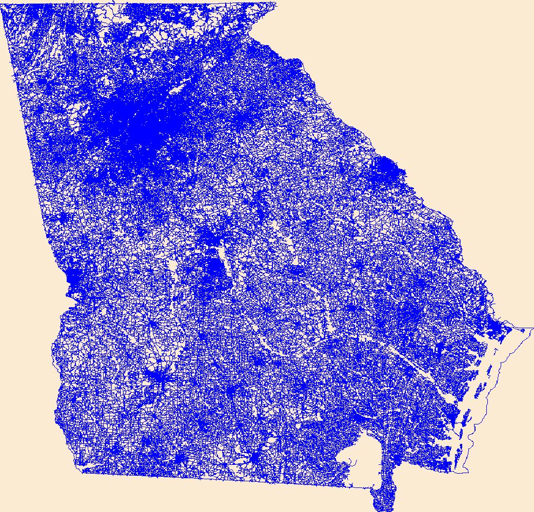
Layers of geospatial data include roads, airports, trails, and railroads.
Tags:
Airport Complex ,
Airport Point ,
Airport Runway ,
Airports ,
Airstrips ,
All tags... Appling ,
Atkinson ,
Bacon ,
Baker ,
Baldwin ,
Banks ,
Barrow ,
Bartow ,
Ben Hill ,
Berrien ,
Bibb ,
Bleckley ,
Brantley ,
Brooks ,
Bryan ,
Bulloch ,
Burke ,
Butts ,
Calhoun ,
Camden ,
Candler ,
Carroll ,
Catoosa ,
Charlton ,
Chatham ,
Chattahoochee ,
Chattooga ,
Cherokee ,
Clarke ,
Clay ,
Clayton ,
Clinch ,
Cobb ,
Coffee ,
Colquitt ,
Columbia ,
Cook ,
Coweta ,
Crawford ,
Crisp ,
Dade ,
Dawson ,
DeKalb ,
Decatur ,
Dodge ,
Dooly ,
Dougherty ,
Douglas ,
Downloadable Data ,
Early ,
Echols ,
Effingham ,
Elbert ,
Emanuel ,
Esri File GeoDatabase 10 ,
Evans ,
Fannin ,
Fayette ,
FileGDB ,
Floyd ,
Forsyth ,
Franklin ,
Fulton ,
GA ,
Geographic names ,
Georgia ,
Gilmer ,
Glascock ,
Glynn ,
Gordon ,
Grady ,
Greene ,
Gwinnett ,
Habersham ,
Hall ,
Hancock ,
Haralson ,
Harris ,
Hart ,
Heard ,
Henry ,
Houston ,
Irwin ,
Jackson ,
Jasper ,
Jeff Davis ,
Jefferson ,
Jenkins ,
Johnson ,
Jones ,
Lamar ,
Lanier ,
Laurens ,
Lee ,
Liberty ,
Lincoln ,
Long ,
Lowndes ,
Lumpkin ,
Macon ,
Madison ,
Marion ,
McDuffie ,
McIntosh ,
Meriwether ,
Miller ,
Mitchell ,
Monroe ,
Montgomery ,
Morgan ,
Murray ,
Muscogee ,
National Transportation Dataset (NTD) ,
National Transportation Dataset (NTD) ,
Newton ,
Oconee ,
Oglethorpe ,
Paulding ,
Peach ,
Pickens ,
Pierce ,
Pike ,
Polk ,
Pulaski ,
Putnam ,
Quitman ,
Rabun ,
Railways ,
Randolph ,
Richmond ,
Roads ,
Rockdale ,
Schley ,
Screven ,
Seminole ,
Spalding ,
State ,
State ,
Stephens ,
Stewart ,
Sumter ,
Talbot ,
Taliaferro ,
Tattnall ,
Taylor ,
Telfair ,
Terrell ,
Thomas ,
Tift ,
Toombs ,
Towns ,
Trail ,
Trails ,
Transportation ,
Transportation ,
Treutlen ,
Troup ,
Turner ,
Twiggs ,
US ,
Union ,
United States ,
Upson ,
Walker ,
Walton ,
Ware ,
Warren ,
Washington ,
Waterway ,
Wayne ,
Webster ,
Wheeler ,
White ,
Whitfield ,
Wilcox ,
Wilkes ,
Wilkinson ,
Worth ,
transportation , Fewer tags
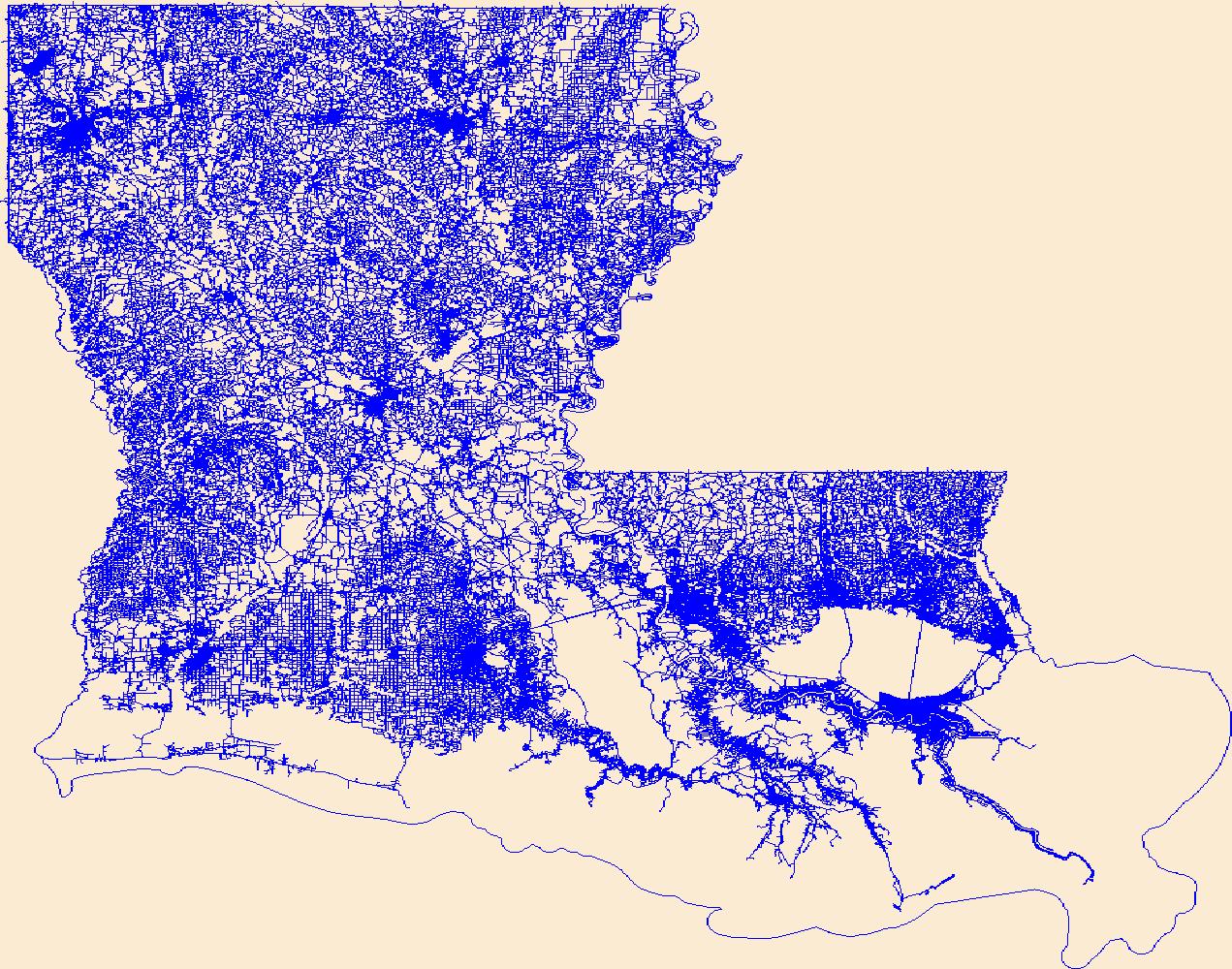
Layers of geospatial data include roads, airports, trails, and railroads.
Tags:
Acadia ,
Airport Complex ,
Airport Point ,
Airport Runway ,
Airports ,
All tags... Airstrips ,
Allen ,
Ascension ,
Assumption ,
Avoyelles ,
Beauregard ,
Bienville ,
Bossier ,
Caddo ,
Calcasieu ,
Caldwell ,
Cameron ,
Catahoula ,
Claiborne ,
Concordia ,
De Soto ,
Downloadable Data ,
East Baton Rouge ,
East Carroll ,
East Feliciana ,
Esri File GeoDatabase 10 ,
Evangeline ,
FileGDB ,
Franklin ,
Geographic names ,
Grant ,
Iberia ,
Iberville ,
Jackson ,
Jefferson ,
Jefferson Davis ,
LA ,
LaSalle ,
Lafayette ,
Lafourche ,
Lincoln ,
Livingston ,
Louisiana ,
Madison ,
Morehouse ,
Natchitoches ,
National Transportation Dataset (NTD) ,
National Transportation Dataset (NTD) ,
Orleans ,
Ouachita ,
Plaquemines ,
Pointe Coupee ,
Railways ,
Rapides ,
Red River ,
Richland ,
Roads ,
Sabine ,
St. Bernard ,
St. Charles ,
St. Helena ,
St. James ,
St. John the Baptist ,
St. Landry ,
St. Martin ,
St. Mary ,
St. Tammany ,
State ,
State ,
Tangipahoa ,
Tensas ,
Terrebonne ,
Trail ,
Trails ,
Transportation ,
Transportation ,
US ,
Union ,
United States ,
Vermilion ,
Vernon ,
Washington ,
Waterway ,
Webster ,
West Baton Rouge ,
West Carroll ,
West Feliciana ,
Winn ,
transportation , Fewer tags
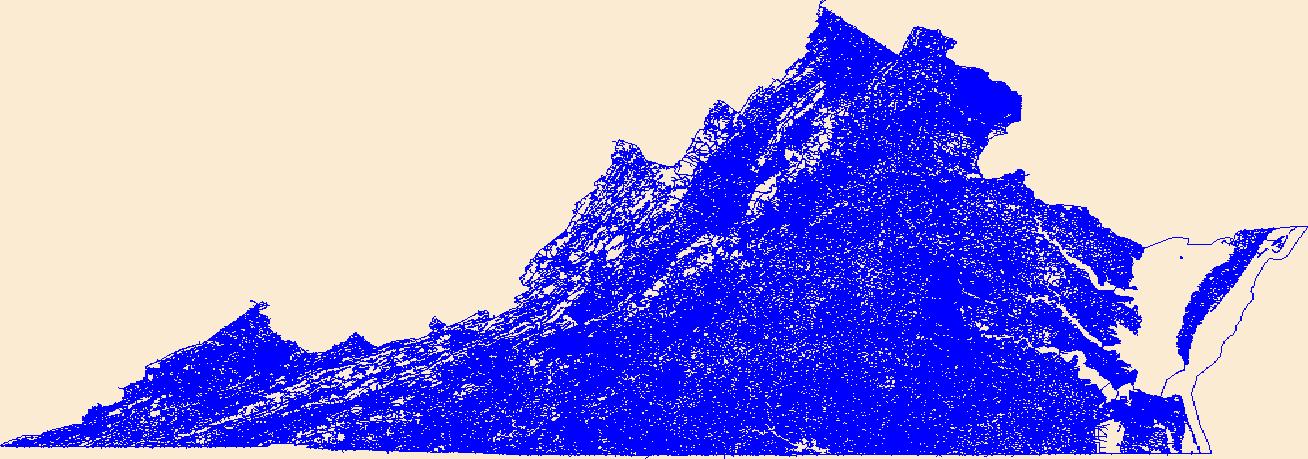
Layers of geospatial data include roads, airports, trails, and railroads.
Tags:
Accomack ,
Airport Complex ,
Airport Point ,
Airport Runway ,
Airports ,
All tags... Airstrips ,
Albemarle ,
Alexandria ,
Alleghany ,
Amelia ,
Amherst ,
Appomattox ,
Arlington ,
Augusta ,
Bath ,
Bedford ,
Bland ,
Botetourt ,
Bristol ,
Brunswick ,
Buchanan ,
Buckingham ,
Buena Vista ,
Campbell ,
Caroline ,
Carroll ,
Charles City ,
Charlotte ,
Charlottesville ,
Chesapeake ,
Chesterfield ,
Clarke ,
Colonial Heights ,
Covington ,
Craig ,
Culpeper ,
Cumberland ,
Danville ,
Dickenson ,
Dinwiddie ,
Downloadable Data ,
Emporia ,
Esri Shapefile nan ,
Essex ,
Fairfax ,
Falls Church ,
Fauquier ,
Floyd ,
Fluvanna ,
Franklin ,
Frederick ,
Fredericksburg ,
Galax ,
Geographic names ,
Giles ,
Gloucester ,
Goochland ,
Grayson ,
Greene ,
Greensville ,
Halifax ,
Hampton ,
Hanover ,
Harrisonburg ,
Henrico ,
Henry ,
Highland ,
Hopewell ,
Isle of Wight ,
James City ,
King George ,
King William ,
King and Queen ,
Lancaster ,
Lee ,
Lexington ,
Loudoun ,
Louisa ,
Lunenburg ,
Lynchburg ,
Madison ,
Manassas ,
Manassas Park ,
Martinsville ,
Mathews ,
Mecklenburg ,
Middlesex ,
Montgomery ,
National Transportation Dataset (NTD) ,
National Transportation Dataset (NTD) ,
Nelson ,
New Kent ,
Newport News ,
Norfolk ,
Northampton ,
Northumberland ,
Norton ,
Nottoway ,
Orange ,
Page ,
Patrick ,
Petersburg ,
Pittsylvania ,
Poquoson ,
Portsmouth ,
Powhatan ,
Prince Edward ,
Prince George ,
Prince William ,
Pulaski ,
Radford ,
Railways ,
Rappahannock ,
Richmond ,
Roads ,
Roanoke ,
Rockbridge ,
Rockingham ,
Russell ,
Salem ,
Scott ,
Shapefile ,
Shenandoah ,
Smyth ,
Southampton ,
Spotsylvania ,
Stafford ,
State ,
State ,
Staunton ,
Suffolk ,
Surry ,
Sussex ,
Tazewell ,
Trail ,
Trails ,
Transportation ,
Transportation ,
US ,
United States ,
VA ,
Virginia ,
Virginia Beach ,
Warren ,
Washington ,
Waterway ,
Waynesboro ,
Westmoreland ,
Williamsburg ,
Winchester ,
Wise ,
Wythe ,
York ,
transportation , Fewer tags
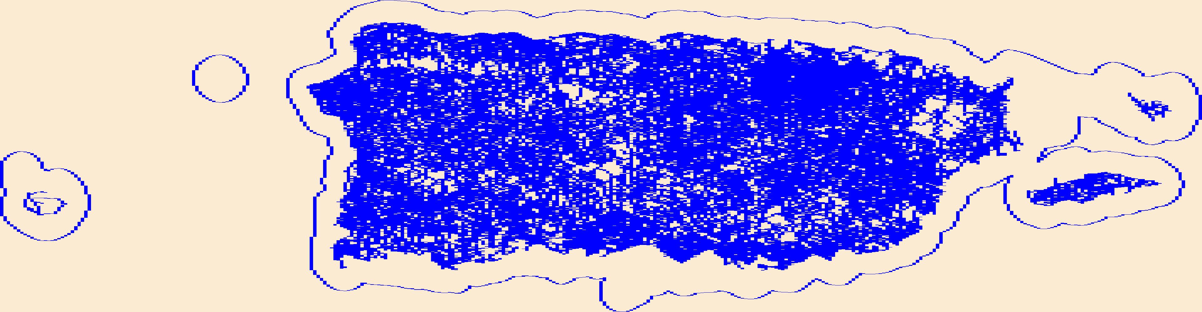
Layers of geospatial data include roads, airports, trails, and railroads.
Tags:
Adjuntas ,
Aguada ,
Aguadilla ,
Aguas Buenas ,
Aibonito ,
All tags... Airport Complex ,
Airport Point ,
Airport Runway ,
Airports ,
Airstrips ,
Arecibo ,
Arroyo ,
Añasco ,
Barceloneta ,
Barranquitas ,
Bayamón ,
Cabo Rojo ,
Caguas ,
Camuy ,
Canóvanas ,
Carolina ,
Cataño ,
Cayey ,
Ceiba ,
Ciales ,
Cidra ,
Coamo ,
Comerío ,
Corozal ,
Culebra ,
Dorado ,
Downloadable Data ,
Esri Shapefile nan ,
Fajardo ,
Florida ,
Geographic names ,
Guayama ,
Guayanilla ,
Guaynabo ,
Gurabo ,
Guánica ,
Hatillo ,
Hormigueros ,
Humacao ,
Isabela ,
Jayuya ,
Juana Díaz ,
Juncos ,
Lajas ,
Lares ,
Las Marías ,
Las Piedras ,
Loíza ,
Luquillo ,
Manatí ,
Maricao ,
Maunabo ,
Mayagüez ,
Moca ,
Morovis ,
Naguabo ,
Naranjito ,
National Transportation Dataset (NTD) ,
National Transportation Dataset (NTD) ,
Orocovis ,
PR ,
Patillas ,
Peñuelas ,
Ponce ,
Puerto Rico ,
Quebradillas ,
Railways ,
Rincón ,
Roads ,
Río Grande ,
Sabana Grande ,
Salinas ,
San Germán ,
San Juan ,
San Lorenzo ,
San Sebastián ,
Santa Isabel ,
Shapefile ,
State ,
State ,
Toa Alta ,
Toa Baja ,
Trail ,
Trails ,
Transportation ,
Transportation ,
Trujillo Alto ,
US ,
United States ,
Utuado ,
Vega Alta ,
Vega Baja ,
Vieques ,
Villalba ,
Waterway ,
Yabucoa ,
Yauco ,
transportation , Fewer tags
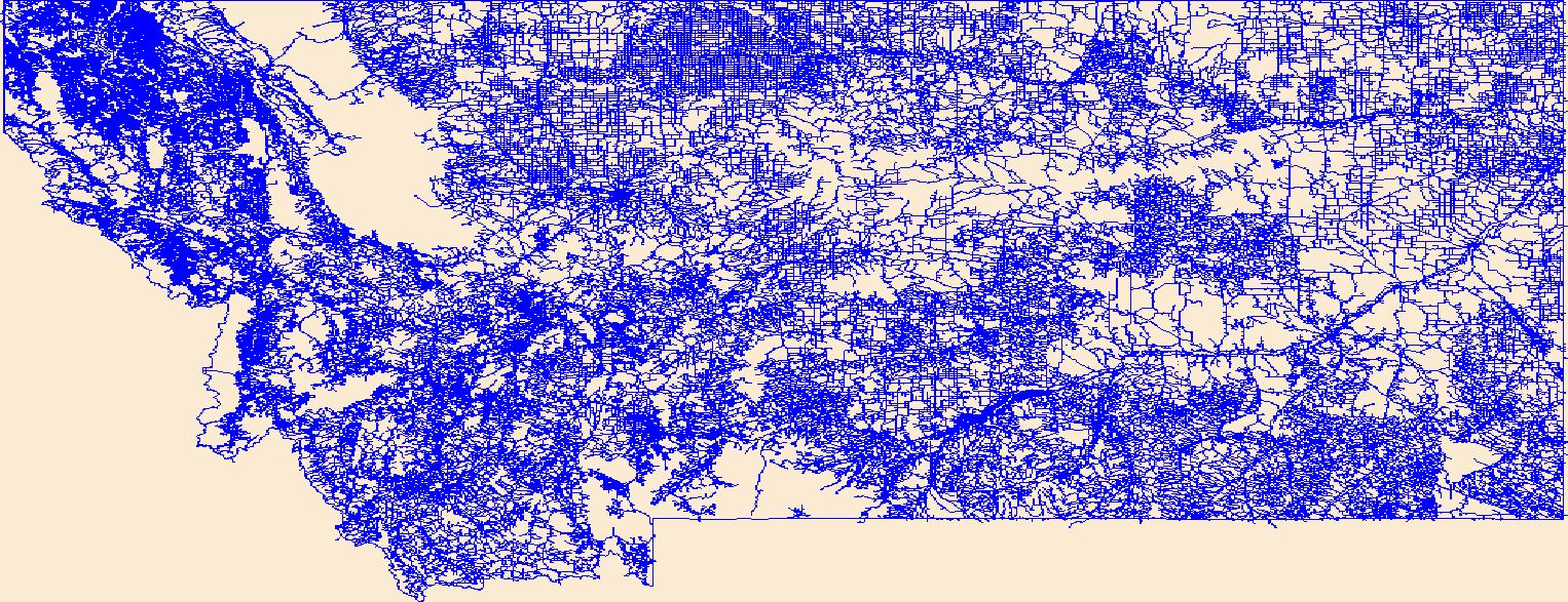
Layers of geospatial data include roads, airports, trails, and railroads.
Tags:
Airport Complex ,
Airport Point ,
Airport Runway ,
Airports ,
Airstrips ,
All tags... Beaverhead ,
Big Horn ,
Blaine ,
Broadwater ,
Carbon ,
Carter ,
Cascade ,
Chouteau ,
Custer ,
Daniels ,
Dawson ,
Deer Lodge ,
Downloadable Data ,
Esri Shapefile nan ,
Fallon ,
Fergus ,
Flathead ,
Gallatin ,
Garfield ,
Geographic names ,
Glacier ,
Golden Valley ,
Granite ,
Hill ,
Jefferson ,
Judith Basin ,
Lake ,
Lewis and Clark ,
Liberty ,
Lincoln ,
MT ,
Madison ,
McCone ,
Meagher ,
Mineral ,
Missoula ,
Montana ,
Musselshell ,
National Transportation Dataset (NTD) ,
National Transportation Dataset (NTD) ,
Park ,
Petroleum ,
Phillips ,
Pondera ,
Powder River ,
Powell ,
Prairie ,
Railways ,
Ravalli ,
Richland ,
Roads ,
Roosevelt ,
Rosebud ,
Sanders ,
Shapefile ,
Sheridan ,
Silver Bow ,
State ,
State ,
Stillwater ,
Sweet Grass ,
Teton ,
Toole ,
Trail ,
Trails ,
Transportation ,
Transportation ,
Treasure ,
US ,
United States ,
Valley ,
Waterway ,
Wheatland ,
Wibaux ,
Yellowstone ,
transportation , Fewer tags
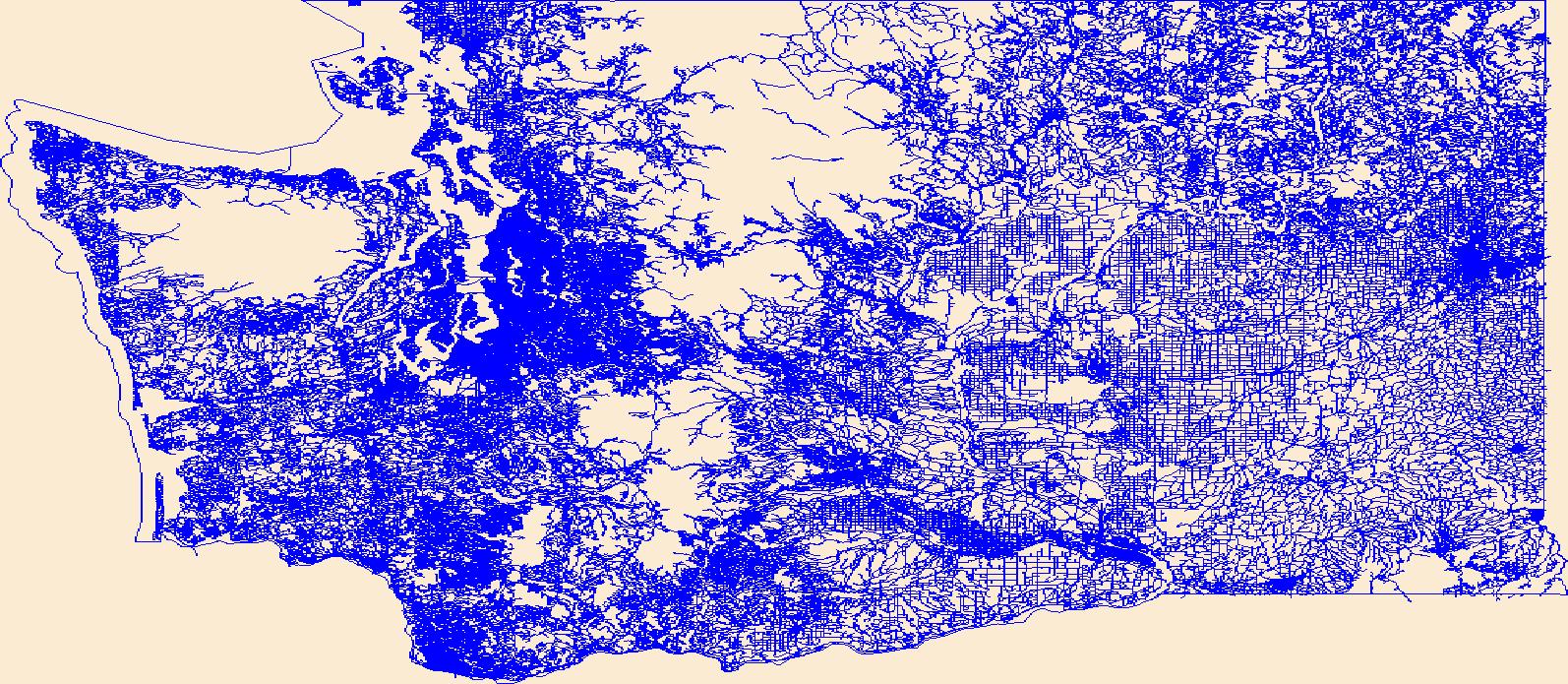
Layers of geospatial data include roads, airports, trails, and railroads.
Tags:
Adams ,
Airport Complex ,
Airport Point ,
Airport Runway ,
Airports ,
All tags... Airstrips ,
Asotin ,
Benton ,
Chelan ,
Clallam ,
Clark ,
Columbia ,
Cowlitz ,
Douglas ,
Downloadable Data ,
Esri Shapefile nan ,
Ferry ,
Franklin ,
Garfield ,
Geographic names ,
Grant ,
Grays Harbor ,
Island ,
Jefferson ,
King ,
Kitsap ,
Kittitas ,
Klickitat ,
Lewis ,
Lincoln ,
Mason ,
National Transportation Dataset (NTD) ,
National Transportation Dataset (NTD) ,
Okanogan ,
Pacific ,
Pend Oreille ,
Pierce ,
Railways ,
Roads ,
San Juan ,
Shapefile ,
Skagit ,
Skamania ,
Snohomish ,
Spokane ,
State ,
State ,
Stevens ,
Thurston ,
Trail ,
Trails ,
Transportation ,
Transportation ,
US ,
United States ,
WA ,
Wahkiakum ,
Walla Walla ,
Washington ,
Waterway ,
Whatcom ,
Whitman ,
Yakima ,
transportation , Fewer tags
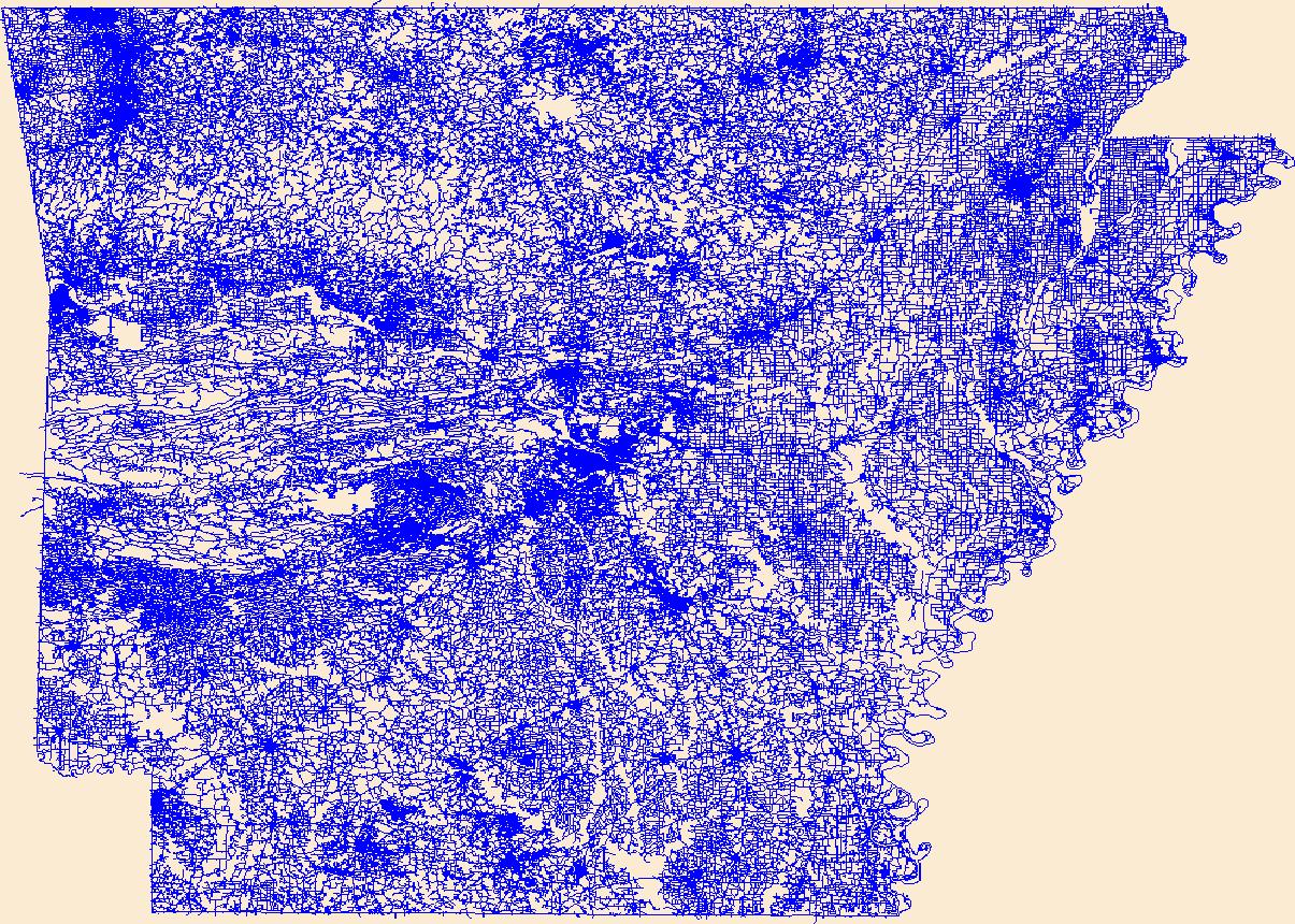
Layers of geospatial data include roads, airports, trails, and railroads.
Tags:
AR ,
Airport Complex ,
Airport Point ,
Airport Runway ,
Airports ,
All tags... Airstrips ,
Arkansas ,
Arkansas ,
Ashley ,
Baxter ,
Benton ,
Boone ,
Bradley ,
Calhoun ,
Carroll ,
Chicot ,
Clark ,
Clay ,
Cleburne ,
Cleveland ,
Columbia ,
Conway ,
Craighead ,
Crawford ,
Crittenden ,
Cross ,
Dallas ,
Desha ,
Downloadable Data ,
Drew ,
Esri File GeoDatabase 10 ,
Faulkner ,
FileGDB ,
Franklin ,
Fulton ,
Garland ,
Geographic names ,
Grant ,
Greene ,
Hempstead ,
Hot Spring ,
Howard ,
Independence ,
Izard ,
Jackson ,
Jefferson ,
Johnson ,
Lafayette ,
Lawrence ,
Lee ,
Lincoln ,
Little River ,
Logan ,
Lonoke ,
Madison ,
Marion ,
Miller ,
Mississippi ,
Monroe ,
Montgomery ,
National Transportation Dataset (NTD) ,
National Transportation Dataset (NTD) ,
Nevada ,
Newton ,
Ouachita ,
Perry ,
Phillips ,
Pike ,
Poinsett ,
Polk ,
Pope ,
Prairie ,
Pulaski ,
Railways ,
Randolph ,
Roads ,
Saline ,
Scott ,
Searcy ,
Sebastian ,
Sevier ,
Sharp ,
St. Francis ,
State ,
State ,
Stone ,
Trail ,
Trails ,
Transportation ,
Transportation ,
US ,
Union ,
United States ,
Van Buren ,
Washington ,
Waterway ,
White ,
Woodruff ,
Yell ,
transportation , Fewer tags
Layers of geospatial data include roads, airports, trails, and railroads.
Tags:
Airport Complex ,
Airport Point ,
Airport Runway ,
Airports ,
Airstrips ,
All tags... Downloadable Data ,
Esri Shapefile nan ,
GU ,
Geographic names ,
Guam ,
Guam ,
National Transportation Dataset (NTD) ,
National Transportation Dataset (NTD) ,
Railways ,
Roads ,
Shapefile ,
State ,
State ,
Trail ,
Trails ,
Transportation ,
Transportation ,
US ,
United States ,
Waterway ,
transportation , Fewer tags
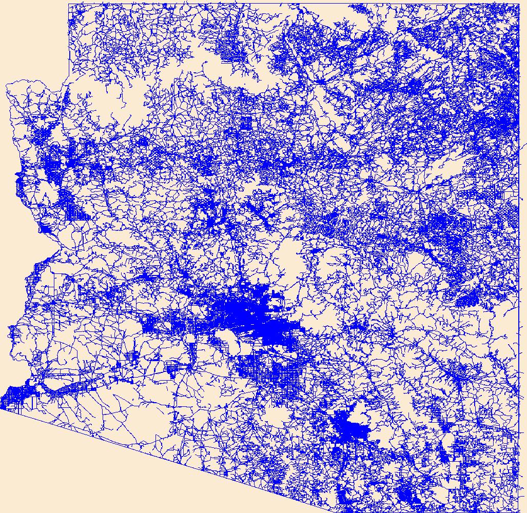
Layers of geospatial data include roads, airports, trails, and railroads.
Tags:
AZ ,
Airport Complex ,
Airport Point ,
Airport Runway ,
Airports ,
All tags... Airstrips ,
Apache ,
Arizona ,
Cochise ,
Coconino ,
Downloadable Data ,
Esri File GeoDatabase 10 ,
FileGDB ,
Geographic names ,
Gila ,
Graham ,
Greenlee ,
La Paz ,
Maricopa ,
Mohave ,
National Transportation Dataset (NTD) ,
National Transportation Dataset (NTD) ,
Navajo ,
Pima ,
Pinal ,
Railways ,
Roads ,
Santa Cruz ,
State ,
State ,
Trail ,
Trails ,
Transportation ,
Transportation ,
US ,
United States ,
Waterway ,
Yavapai ,
Yuma ,
transportation , Fewer tags
Layers of geospatial data include roads, airports, trails, and railroads.
Tags:
Adams ,
Airport Complex ,
Airport Point ,
Airport Runway ,
Airports ,
All tags... Airstrips ,
Asotin ,
Benton ,
Chelan ,
Clallam ,
Clark ,
Columbia ,
Cowlitz ,
Douglas ,
Downloadable Data ,
Esri File GeoDatabase 10 ,
Ferry ,
FileGDB ,
Franklin ,
Garfield ,
Geographic names ,
Grant ,
Grays Harbor ,
Island ,
Jefferson ,
King ,
Kitsap ,
Kittitas ,
Klickitat ,
Lewis ,
Lincoln ,
Mason ,
National Transportation Dataset (NTD) ,
National Transportation Dataset (NTD) ,
Okanogan ,
Pacific ,
Pend Oreille ,
Pierce ,
Railways ,
Roads ,
San Juan ,
Skagit ,
Skamania ,
Snohomish ,
Spokane ,
State ,
State ,
Stevens ,
Thurston ,
Trail ,
Trails ,
Transportation ,
Transportation ,
US ,
United States ,
WA ,
Wahkiakum ,
Walla Walla ,
Washington ,
Waterway ,
Whatcom ,
Whitman ,
Yakima ,
transportation , Fewer tags
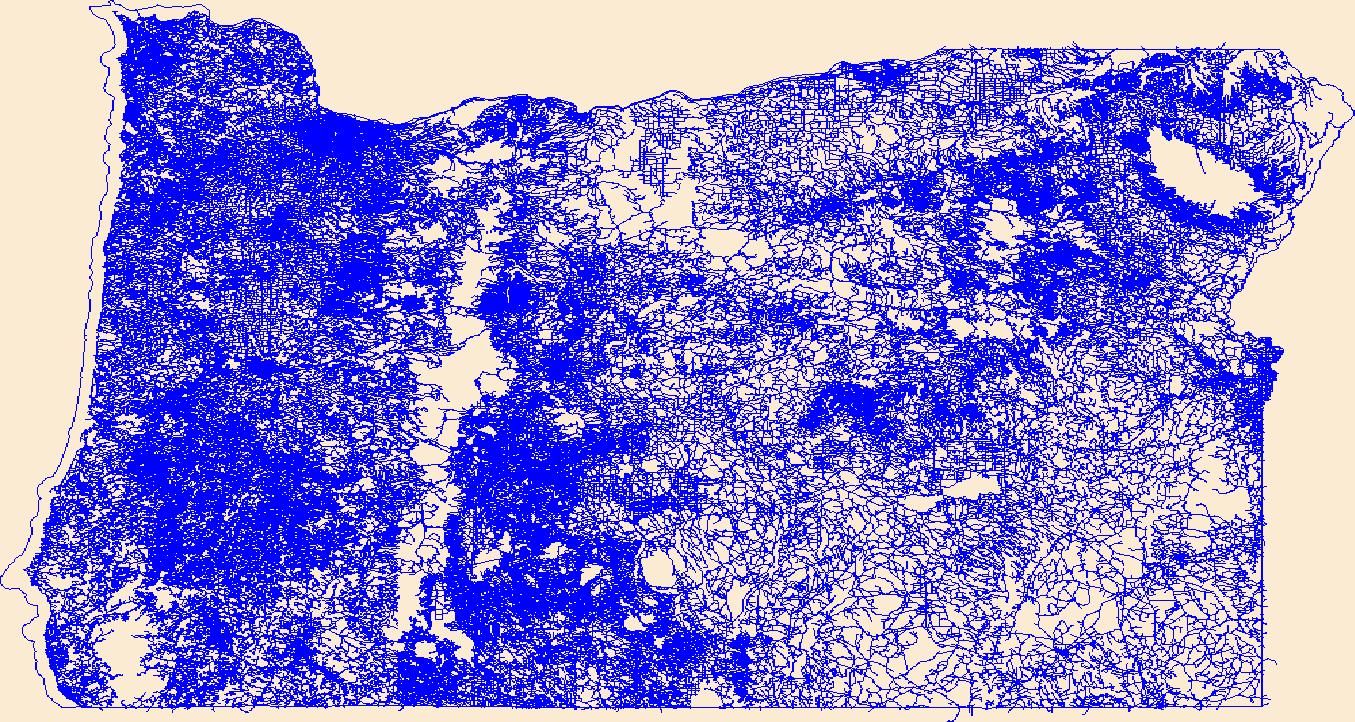
Layers of geospatial data include roads, airports, trails, and railroads.
Tags:
Airport Complex ,
Airport Point ,
Airport Runway ,
Airports ,
Airstrips ,
All tags... Baker ,
Benton ,
Clackamas ,
Clatsop ,
Columbia ,
Coos ,
Crook ,
Curry ,
Deschutes ,
Douglas ,
Downloadable Data ,
Esri File GeoDatabase 10 ,
FileGDB ,
Geographic names ,
Gilliam ,
Grant ,
Harney ,
Hood River ,
Jackson ,
Jefferson ,
Josephine ,
Klamath ,
Lake ,
Lane ,
Lincoln ,
Linn ,
Malheur ,
Marion ,
Morrow ,
Multnomah ,
National Transportation Dataset (NTD) ,
National Transportation Dataset (NTD) ,
OR ,
Oregon ,
Polk ,
Railways ,
Roads ,
Sherman ,
State ,
State ,
Tillamook ,
Trail ,
Trails ,
Transportation ,
Transportation ,
US ,
Umatilla ,
Union ,
United States ,
Wallowa ,
Wasco ,
Washington ,
Waterway ,
Wheeler ,
Yamhill ,
transportation , Fewer tags
Layers of geospatial data include roads, airports, trails, and railroads.
Tags:
AS ,
Airport Complex ,
Airport Point ,
Airport Runway ,
Airports ,
All tags... Airstrips ,
American Samoa ,
Downloadable Data ,
Eastern ,
Esri File GeoDatabase 10 ,
FileGDB ,
Geographic names ,
Manu'a ,
National Transportation Dataset (NTD) ,
National Transportation Dataset (NTD) ,
Railways ,
Roads ,
Rose Island ,
State ,
State ,
Swains Island ,
Trail ,
Trails ,
Transportation ,
Transportation ,
US ,
United States ,
Waterway ,
Western ,
transportation , Fewer tags
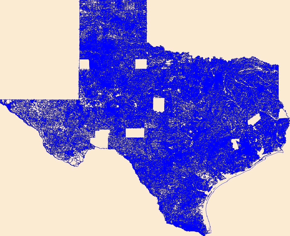
Layers of geospatial data include roads, airports, trails, and railroads.
Tags:
Airport Complex ,
Airport Point ,
Airport Runway ,
Airports ,
Airstrips ,
All tags... Anderson ,
Andrews ,
Angelina ,
Aransas ,
Archer ,
Armstrong ,
Atascosa ,
Austin ,
Bailey ,
Bandera ,
Bastrop ,
Baylor ,
Bee ,
Bell ,
Bexar ,
Blanco ,
Borden ,
Bosque ,
Bowie ,
Brazoria ,
Brazos ,
Brewster ,
Briscoe ,
Brooks ,
Brown ,
Burleson ,
Burnet ,
Caldwell ,
Calhoun ,
Callahan ,
Cameron ,
Camp ,
Carson ,
Cass ,
Castro ,
Chambers ,
Cherokee ,
Childress ,
Clay ,
Cochran ,
Coke ,
Coleman ,
Collin ,
Collingsworth ,
Colorado ,
Comal ,
Comanche ,
Concho ,
Cooke ,
Coryell ,
Cottle ,
Crane ,
Crockett ,
Crosby ,
Culberson ,
Dallam ,
Dallas ,
Dawson ,
DeWitt ,
Deaf Smith ,
Delta ,
Denton ,
Dickens ,
Dimmit ,
Donley ,
Downloadable Data ,
Duval ,
Eastland ,
Ector ,
Edwards ,
El Paso ,
Ellis ,
Erath ,
Esri Shapefile nan ,
Falls ,
Fannin ,
Fayette ,
Fisher ,
Floyd ,
Foard ,
Fort Bend ,
Franklin ,
Freestone ,
Frio ,
Gaines ,
Galveston ,
Garza ,
Geographic names ,
Gillespie ,
Glasscock ,
Goliad ,
Gonzales ,
Gray ,
Grayson ,
Gregg ,
Grimes ,
Guadalupe ,
Hale ,
Hall ,
Hamilton ,
Hansford ,
Hardeman ,
Hardin ,
Harris ,
Harrison ,
Hartley ,
Haskell ,
Hays ,
Hemphill ,
Henderson ,
Hidalgo ,
Hill ,
Hockley ,
Hood ,
Hopkins ,
Houston ,
Howard ,
Hudspeth ,
Hunt ,
Hutchinson ,
Irion ,
Jack ,
Jackson ,
Jasper ,
Jeff Davis ,
Jefferson ,
Jim Hogg ,
Jim Wells ,
Johnson ,
Jones ,
Karnes ,
Kaufman ,
Kendall ,
Kenedy ,
Kent ,
Kerr ,
Kimble ,
King ,
Kinney ,
Kleberg ,
Knox ,
La Salle ,
Lamar ,
Lamb ,
Lampasas ,
Lavaca ,
Lee ,
Leon ,
Liberty ,
Limestone ,
Lipscomb ,
Live Oak ,
Llano ,
Loving ,
Lubbock ,
Lynn ,
Madison ,
Marion ,
Martin ,
Mason ,
Matagorda ,
Maverick ,
McCulloch ,
McLennan ,
McMullen ,
Medina ,
Menard ,
Midland ,
Milam ,
Mills ,
Mitchell ,
Montague ,
Montgomery ,
Moore ,
Morris ,
Motley ,
Nacogdoches ,
National Transportation Dataset (NTD) ,
National Transportation Dataset (NTD) ,
Navarro ,
Newton ,
Nolan ,
Nueces ,
Ochiltree ,
Oldham ,
Orange ,
Palo Pinto ,
Panola ,
Parker ,
Parmer ,
Pecos ,
Polk ,
Potter ,
Presidio ,
Railways ,
Rains ,
Randall ,
Reagan ,
Real ,
Red River ,
Reeves ,
Refugio ,
Roads ,
Roberts ,
Robertson ,
Rockwall ,
Runnels ,
Rusk ,
Sabine ,
San Augustine ,
San Jacinto ,
San Patricio ,
San Saba ,
Schleicher ,
Scurry ,
Shackelford ,
Shapefile ,
Shelby ,
Sherman ,
Smith ,
Somervell ,
Starr ,
State ,
State ,
Stephens ,
Sterling ,
Stonewall ,
Sutton ,
Swisher ,
TX ,
Tarrant ,
Taylor ,
Terrell ,
Terry ,
Texas ,
Throckmorton ,
Titus ,
Tom Green ,
Trail ,
Trails ,
Transportation ,
Transportation ,
Travis ,
Trinity ,
Tyler ,
US ,
United States ,
Upshur ,
Upton ,
Uvalde ,
Val Verde ,
Van Zandt ,
Victoria ,
Walker ,
Waller ,
Ward ,
Washington ,
Waterway ,
Webb ,
Wharton ,
Wheeler ,
Wichita ,
Wilbarger ,
Willacy ,
Williamson ,
Wilson ,
Winkler ,
Wise ,
Wood ,
Yoakum ,
Young ,
Zapata ,
Zavala ,
transportation , Fewer tags
Layers of geospatial data include roads, airports, trails, and railroads.
Tags:
Adams ,
Airport Complex ,
Airport Point ,
Airport Runway ,
Airports ,
All tags... Airstrips ,
Alamosa ,
Arapahoe ,
Archuleta ,
Baca ,
Bent ,
Boulder ,
Broomfield ,
CO ,
Chaffee ,
Cheyenne ,
Clear Creek ,
Colorado ,
Conejos ,
Costilla ,
Crowley ,
Custer ,
Delta ,
Denver ,
Dolores ,
Douglas ,
Downloadable Data ,
Eagle ,
El Paso ,
Elbert ,
Esri Shapefile nan ,
Fremont ,
Garfield ,
Geographic names ,
Gilpin ,
Grand ,
Gunnison ,
Hinsdale ,
Huerfano ,
Jackson ,
Jefferson ,
Kiowa ,
Kit Carson ,
La Plata ,
Lake ,
Larimer ,
Las Animas ,
Lincoln ,
Logan ,
Mesa ,
Mineral ,
Moffat ,
Montezuma ,
Montrose ,
Morgan ,
National Transportation Dataset (NTD) ,
National Transportation Dataset (NTD) ,
Otero ,
Ouray ,
Park ,
Phillips ,
Pitkin ,
Prowers ,
Pueblo ,
Railways ,
Rio Blanco ,
Rio Grande ,
Roads ,
Routt ,
Saguache ,
San Juan ,
San Miguel ,
Sedgwick ,
Shapefile ,
State ,
State ,
Summit ,
Teller ,
Trail ,
Trails ,
Transportation ,
Transportation ,
US ,
United States ,
Washington ,
Waterway ,
Weld ,
Yuma ,
transportation , Fewer tags
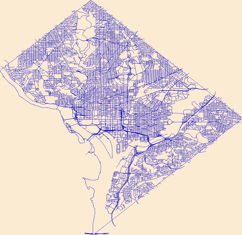
Layers of geospatial data include roads, airports, trails, and railroads.
Tags:
Airport Complex ,
Airport Point ,
Airport Runway ,
Airports ,
Airstrips ,
All tags... DC ,
District of Columbia ,
District of Columbia ,
Downloadable Data ,
Esri Shapefile nan ,
Geographic names ,
National Transportation Dataset (NTD) ,
National Transportation Dataset (NTD) ,
Railways ,
Roads ,
Shapefile ,
State ,
State ,
Trail ,
Trails ,
Transportation ,
Transportation ,
US ,
United States ,
Waterway ,
transportation , Fewer tags
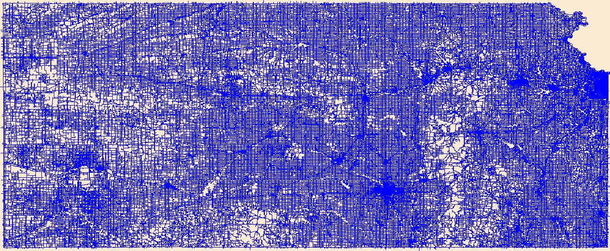
Layers of geospatial data include roads, airports, trails, and railroads.
Tags:
Airport Complex ,
Airport Point ,
Airport Runway ,
Airports ,
Airstrips ,
All tags... Allen ,
Anderson ,
Atchison ,
Barber ,
Barton ,
Bourbon ,
Brown ,
Butler ,
Chase ,
Chautauqua ,
Cherokee ,
Cheyenne ,
Clark ,
Clay ,
Cloud ,
Coffey ,
Comanche ,
Cowley ,
Crawford ,
Decatur ,
Dickinson ,
Doniphan ,
Douglas ,
Downloadable Data ,
Edwards ,
Elk ,
Ellis ,
Ellsworth ,
Esri Shapefile nan ,
Finney ,
Ford ,
Franklin ,
Geary ,
Geographic names ,
Gove ,
Graham ,
Grant ,
Gray ,
Greeley ,
Greenwood ,
Hamilton ,
Harper ,
Harvey ,
Haskell ,
Hodgeman ,
Jackson ,
Jefferson ,
Jewell ,
Johnson ,
KS ,
Kansas ,
Kearny ,
Kingman ,
Kiowa ,
Labette ,
Lane ,
Leavenworth ,
Lincoln ,
Linn ,
Logan ,
Lyon ,
Marion ,
Marshall ,
McPherson ,
Meade ,
Miami ,
Mitchell ,
Montgomery ,
Morris ,
Morton ,
National Transportation Dataset (NTD) ,
National Transportation Dataset (NTD) ,
Nemaha ,
Neosho ,
Ness ,
Norton ,
Osage ,
Osborne ,
Ottawa ,
Pawnee ,
Phillips ,
Pottawatomie ,
Pratt ,
Railways ,
Rawlins ,
Reno ,
Republic ,
Rice ,
Riley ,
Roads ,
Rooks ,
Rush ,
Russell ,
Saline ,
Scott ,
Sedgwick ,
Seward ,
Shapefile ,
Shawnee ,
Sheridan ,
Sherman ,
Smith ,
Stafford ,
Stanton ,
State ,
State ,
Stevens ,
Sumner ,
Thomas ,
Trail ,
Trails ,
Transportation ,
Transportation ,
Trego ,
US ,
United States ,
Wabaunsee ,
Wallace ,
Washington ,
Waterway ,
Wichita ,
Wilson ,
Woodson ,
Wyandotte ,
transportation , Fewer tags