Filters: Categories: Collection (X) > Types: OGC WFS Layer (X)
Folders: ROOT > Users ( Show direct descendants )
6 results (47ms)
Location
Folder
ROOT _Users Filters
Date Range
Extensions Types Contacts
Tag Types Tag Schemes |

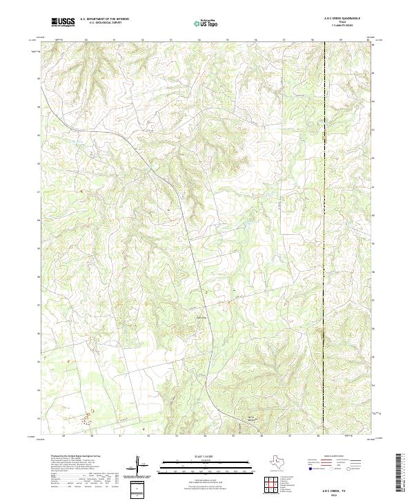
Layered geospatial PDF 7.5 Minute Quadrangle Map. Layers of geospatial data include orthoimagery, roads, grids, geographic names, elevation contours, hydrography, boundaries, and other selected map features. This map depicts geographic features on the surface of the earth. One intended purpose is to support emergency response at all levels of government. The geospatial data in this map are from selected National Map data holdings and other government sources.
Categories: Collection;
Types: Map Service,
OGC WFS Layer,
OGC WMS Layer,
OGC WMS Service;
Tags: Public Land Survey System,
U.S. National Grid,
US,
USGS:6d94af68-1f05-4f9e-9b5a-63f7a05d258b,
United States,
The Gap Analysis Project (GAP) is an element of the U.S. Geological Survey. GAP helps to implement the Department of the Interior’s goals of inventory, monitoring, research, and information transfer. GAP has three primary goals: Identify conservation gaps that help keep common species common; Provide conservation information to the public so that informed resource management decisions can be made; and Facilitate the application of GAP data and analysis to specific resource management activities. To implement these goals, GAP carries out the following objectives: Map the land cover of the United States Map predicted distributions of vertebrate species for the U.S. Map the location, ownership and stewardship of...
This ScienceBase community is the archive of ReSciColl (Registry of Scientific Collections), formerly the National Digital Catalog, of the National Geological and Geophysical Data Preservation Program (NGGDPP). The ReSciColl Dashboard housing ReSciColl Map, ReSciColl Inventory, and Collections Management is available at ReSciColl - Registry of Scientific Collections (usgs.gov). ReSciColl includes metadata records describing geological, geophysical and biological collections and data managed by state geological surveys and USGS. These collections include rock samples, thin sections, field notebooks, photographs, maps, datasets, and others. Collections are described using metadata elements identified by the NGGDPP...
Categories: Collection;
Types: Map Service,
OGC WFS Layer,
OGC WMS Layer,
OGC WMS Service;
Tags: NDC,
National Digital Catalog,
ReSciColl,
Registry of Scientific Collections
Cataloging data and publications for projects associated Upper Midwest Environmental Sciences Center (UMESC).
Categories: Collection;
Types: Collection,
Map Service,
OGC WFS Layer,
OGC WMS Layer,
OGC WMS Service

The U.S. Geological Survey (USGS) GLRI effort is being coordinated and managed by the USGS Midwest Region in accordance with the USGS science strategy - one that is driven by cross-disciplinary integrative science and conducted in collaboration with partners to provide resource managers with the information and decision-making tools they need to help restore the Great Lakes.

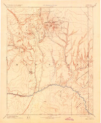
USGS Historical Quadrangle in GeoPDF. The USGS Historical Quadrangle Scanning Project (HQSP) is scanning all scales and all editions of topographic maps published by the U.S. Geological Survey (USGS) since the inception of the topographic mapping program in 1884.
Categories: Collection;
Types: Citation,
Map Service,
OGC WFS Layer,
OGC WMS Layer,
OGC WMS Service;
Tags: Public Land Survey System,
U.S. National Grid,
US,
USGS:bb7b145f-8d7f-405b-96ae-348d61172951,
United States,
|

|