Filters: Categories: Collection (X)
Folders: ROOT > Users ( Show direct descendants )
16 results (45ms)
Location
Folder
ROOT _Users Filters
Date Range
Extensions Types Contacts
Categories Tag Types Tag Schemes |

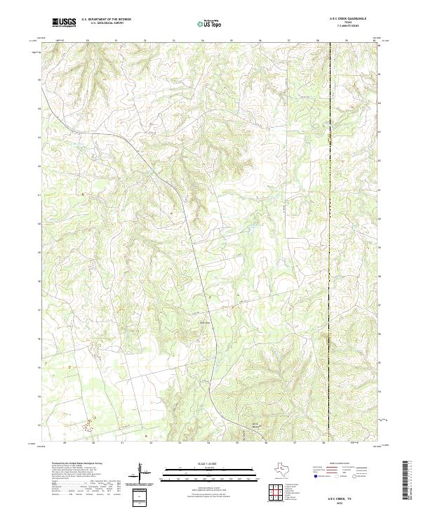
Layered geospatial PDF 7.5 Minute Quadrangle Map. Layers of geospatial data include orthoimagery, roads, grids, geographic names, elevation contours, hydrography, boundaries, and other selected map features. This map depicts geographic features on the surface of the earth. One intended purpose is to support emergency response at all levels of government. The geospatial data in this map are from selected National Map data holdings and other government sources.
Categories: Collection;
Types: Map Service,
OGC WFS Layer,
OGC WMS Layer,
OGC WMS Service;
Tags: Public Land Survey System,
U.S. National Grid,
US,
USGS:6d94af68-1f05-4f9e-9b5a-63f7a05d258b,
United States,
The Gap Analysis Project (GAP) is an element of the U.S. Geological Survey. GAP helps to implement the Department of the Interior’s goals of inventory, monitoring, research, and information transfer. GAP has three primary goals: Identify conservation gaps that help keep common species common; Provide conservation information to the public so that informed resource management decisions can be made; and Facilitate the application of GAP data and analysis to specific resource management activities. To implement these goals, GAP carries out the following objectives: Map the land cover of the United States Map predicted distributions of vertebrate species for the U.S. Map the location, ownership and stewardship of...
This USGS Data Release represents geospatial and tabular data for the Denali Sampling Project. The data release was produced in compliance with the new 'open data' requirements as a way to make the scientific products associated with USGS research efforts and publications available to the public. The dataset consists of 4 separate items: 1. Sample Site Locations (Vector GIS dataset) 2. Sample Transects (Vector GIS dataset) 3. Final Index Score Output (Raster GIS dataset) 4. Sample Site Recordings - Finalized (Tabular dataset) These data support the following publication: Ignizio, D.A., 2015, Sample associated publication: U.S. Geological Survey Open-File Report 2016–xxxx, xx p., http://dx.doi.org/10.3133/ofr2015xxxx.
Categories: Collection;
Tags: Alaska,
Denali National Park,
National Park Survey,
Sampling measurements,
Transect,
Earthquake-triggered ground-failure, such as landsliding and liquefaction, can contribute significantly to losses, but our current ability to accurately include them in earthquake hazard analyses is limited. The development of robust and transportable models requires access to numerous inventories of ground failure triggered by earthquakes that span a broad range of terrains, shaking characteristics, and climates. We present an openly accessible, centralized earthquake-triggered ground-failure inventory repository in the form of a ScienceBase Community to provide open access to these data, and help accelerate progress. The Community hosts digital inventories created by both USGS and non-USGS authors. We present...
Categories: Collection,
Data;
Tags: Earthquake,
Earthquake Hazards,
GHSC,
GIS,
Geologic Hazards Science Center,
Collection of Great Lakes Science Center metadata records that are served on the USGS Science Data Catalog. This folder is linked with the GLSC community on the SDC.
Categories: Collection;
Tags: USGS Science Data Catalog (SDC)
The Aquatic Gap Project represents the portion of the USGS Gap Analysis Project that focuses on aquatic species found in coastal and inland waters. The goal of the National Aquatic GAP is to evaluate aquatic biological diversity and habitats using spatial analysis and species distribution models to identify gaps in species protection or threats to habitats in order to work toward more effective conservation planning and prioritization. Our current efforts are focused on modeling the rangewide distribution of fish species which are wide ranging, non-habitat specialist, and of specific interest to our natural resource management agency and conservation partners.
Categories: Collection
This ScienceBase community is the archive of ReSciColl (Registry of Scientific Collections), formerly the National Digital Catalog, of the National Geological and Geophysical Data Preservation Program (NGGDPP). The ReSciColl Dashboard housing ReSciColl Map, ReSciColl Inventory, and Collections Management is available at ReSciColl - Registry of Scientific Collections (usgs.gov). ReSciColl includes metadata records describing geological, geophysical and biological collections and data managed by state geological surveys and USGS. These collections include rock samples, thin sections, field notebooks, photographs, maps, datasets, and others. Collections are described using metadata elements identified by the NGGDPP...
Categories: Collection;
Types: Map Service,
OGC WFS Layer,
OGC WMS Layer,
OGC WMS Service;
Tags: NDC,
National Digital Catalog,
ReSciColl,
Registry of Scientific Collections
The U.S. Congress authorized a library for the U.S. Geological Survey (USGS) in 1879. The library was formally established in 1882 with the naming of the first librarian and began with a staff of three and a collection of 1,400 books. Today, the USGS Libraries Program is one of the world's largest Earth and natural science repositories and a resource of national significance used by researchers and the public worldwide.
Categories: Collection;
Tags: USGS Science Data Catalog (SDC)
The U.S. Geological Survey (USGS), in association with the Multi-Resolution Land Characteristics (MRLC) Consortium, produces the National Land Cover Database (NLCD) for the United States. The MRLC, a consortium of federal agencies who coordinate and generate consistent and relevant land cover information at the national scale for a wide variety of environmental, land management, and modeling applications, have been providing the scientific community with detailed land cover products for more than 30 years. Over that time, NLCD has been one of the most widely used geospatial datasets in the U.S., serving as a basis for understanding the Nation’s landscapes in thousands of studies and applications, trusted by scientists,...
Categories: Collection;
Tags: GIS,
Image processing,
Land Use Change,
Land Use Land Cover Theme,
Land cover,
The U.S. Geological Survey Denver Library maintains a collection of more than 400,000 photographs taken during geologic studies of the United States and its territories from 1868 to the present. These images provide a visual history of the discovery, development, and sciences of the United States and its Geological Survey. Some photographs have been used in USGS publications, but most have never been published. Currently, this website represents less than 10 percent of the Library's images with approximately 38,000 photographs on-line. Visit http://library.usgs.gov/photo/#/.
Categories: Collection,
Data;
Tags: Broken Link,
Earthquakes,
Expeditions,
Landforms,
Mineral Specimens,
Cataloging data and publications for projects associated Upper Midwest Environmental Sciences Center (UMESC).
Categories: Collection;
Types: Collection,
Map Service,
OGC WFS Layer,
OGC WMS Layer,
OGC WMS Service

The U.S. Geological Survey (USGS) GLRI effort is being coordinated and managed by the USGS Midwest Region in accordance with the USGS science strategy - one that is driven by cross-disciplinary integrative science and conducted in collaboration with partners to provide resource managers with the information and decision-making tools they need to help restore the Great Lakes.
This is a collection of public data records intended for distribution in the USGS Science Data Catalog (data.usgs.gov).
Categories: Collection;
Types: Collection
This is a catalog of datasets available for processing with the Geo Data Portal.
Categories: Collection;
Tags: USGS Science Data Catalog (SDC)

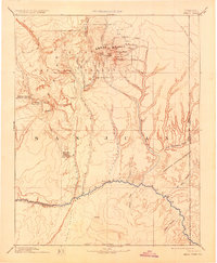
USGS Historical Quadrangle in GeoPDF. The USGS Historical Quadrangle Scanning Project (HQSP) is scanning all scales and all editions of topographic maps published by the U.S. Geological Survey (USGS) since the inception of the topographic mapping program in 1884.
Categories: Collection;
Types: Citation,
Map Service,
OGC WFS Layer,
OGC WMS Layer,
OGC WMS Service;
Tags: Public Land Survey System,
U.S. National Grid,
US,
USGS:bb7b145f-8d7f-405b-96ae-348d61172951,
United States,
This is an inventory of subset of sediment cores (primarily) and rock cores (few) that are managed by the USGS Florence Bascom Geoscience Center. These are the dry-storage cores. Rerigerated or wet-storage cores will be added or be listed in separate metadata at a future date. The majority of core came to the Science Center by default through merging of USGS organizations that no longer exist. Often little data was preserved. A minority of the cores represent current work of the Science Center
Categories: Collection,
Data;
Tags: Collection,
USGS Florence Bascom Geoscience Center,
ndc_collection,
onGoing
|

|