Folders: ROOT > ScienceBase Catalog > USGS Collections ( Show direct descendants )
72 results (9ms)
Location
Folder
ROOT _ScienceBase Catalog __USGS Collections Filters
Date Range
Extensions Types
Contacts
Categories Tag Types
|
The Earthquake Notification Service (ENS) is a free service that sends you automated notifications to your email or cell phone when earthquakes happen.
Types: Citation;
Tags: ENS,
Earth,
Earthquake Hazards Program,
GHSC,
Geologic Hazards Science Center,
The Global Seismographic Network (GSN) is a permanent digital network of state-of-the-art seismological and geophysical sensors connected by a telecommunications network, serving as a multi-use scientific facility and societal resource for monitoring, research, and education. Formed in partnership among the USGS, the National Science Foundation (NSF) and the Incorporated Research Institutions for Seismology (IRIS), the GSN provides near-uniform, worldwide monitoring of the Earth, with over 150 modern seismic stations distributed globally. This entry focuses exclusively on the GSN stations are operated by the USGS Albuquerque Seismological Laboratory (USGS GSN). It does not include any stations operated by the IDA...
Types: Citation;
Tags: ASL,
Albuquerque Seismological Laboratory,
Earth,
Earthquake Hazards Program,
GHSC,
The National Geospatial Program collection of resources provide service interfaces to the basemap services from The National Map and the services provided by ScienceBase for NGP Staged Products (US Topo, etc.).
Categories: Collection
This is a collection of public data records intended for distribution in the USGS Science Data Catalog (data.usgs.gov).
Categories: Collection;
Types: Collection
NOTE: A more current version of the Protected Areas Database of the United States (PAD-US) is available: PAD-US 2.1 https://www.sciencebase.gov/catalog/item/5f186a2082cef313ed843257 The Protected Areas Database of the United States (PAD-US) is a geodatabase, managed by U. S. Geological Survey Gap Analysis Project, that illustrates and describes public land ownership, management and other conservation lands, including voluntarily provided privately protected areas. The geodatabase contains four feature classes such as, Marine Protected Areas (MPA) and Easements that each contains uniquely associated attributes. These two feature classes are combined with the PAD-US Fee feature class to provide a full inventory...
Categories: Data;
Types: ArcGIS REST Map Service,
Citation,
Map Service;
Tags: Alabama (AL),
Alaska (AK),
Arizona (AZ),
Arkansas (AR),
California (CA),
This is a catalog of datasets available for processing with the Geo Data Portal.
Categories: Collection;
Tags: USGS Science Data Catalog (SDC)
The USA National Phenology Network (USA-NPN) serves science and society by promoting broad understanding of plant and animal phenology and its relationship with environmental change. The Network is a consortium of individuals and organizations that collect, share, and use phenology data, models, and related information. USGS is the managing agency for the USA-NPN. This collection includes a series of of phenology datasets, with ground-based observations and gridded pheno-climatic model output.
Categories: Collection

The National Fish Habitat Partnership (NFHP) Data System provides a means for the partnership to manage, access and visualize data products from across the partnership. Although components of the data system may change with evolving technologies, we plan to continue cataloging NFHP data products in USGS ScienceBase.

ITIS is a partnership of U.S., Canadian, and Mexican agencies and other organizations working in collaboration to collect and distribute scientific names and their taxonomic hierarchy. There are currently 10 active Memorandum of Understanding (MOU) partners forming a central, cohesive, source for the collection and distribution of complete, current, and high-quality species checklists with taxonomic hierarchy and robust synonymy. The ITIS database is an automated reference of scientific and common names of all seven kingdoms of life (Archaea, Bacteria, Protozoa, Chromista, Fungi, Plantae, and Animalia) and contains global treatments for most groups, but with some notable gaps. The ITIS data development team work...
The U.S. Geological Survey (USGS) has generated a new classification and map of the lithology of surficial materials for the contiguous United States. This was developed as part of an effort to map standardized, terrestrial ecosystem distributions for the nation using a classification developed by NatureServe (Comer and others, 2003). This ecosystem mapping methodology, which delineates ecosystems by mapping and integrating their major structural components, was first developed for South America (Sayre and others, 2008) and is now being implemented globally (Sayre and others, 2007). Surficial lithology strongly influences the differentiation and distribution of terrestrial ecosystems, and is one of the key input...

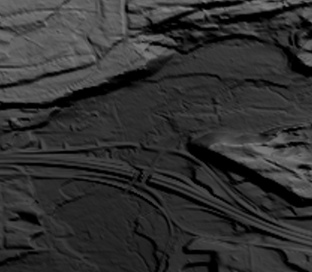
This is a tiled collection of the 3D Elevation Program (3DEP) and is 1/3 arc-second (approximately 10 m) resolution. The 3DEP data holdings serve as the elevation layer of The National Map, and provide foundational elevation information for earth science studies and mapping applications in the United States. Scientists and resource managers use 3DEP data for hydrologic modeling, resource monitoring, mapping and visualization, and many other applications. The elevations in this DEM represent the topographic bare-earth surface. The seamless 1/3 arc-second DEM layers are derived from diverse source data that are processed to a common coordinate system and unit of vertical measure. These data are distributed in geographic...
|

|