Folders: ROOT > ScienceBase Catalog > Biogeographic Information System > Biogeographic Information System Collections > National Biogeographic Map ( Show direct descendants )
10 results (50ms)
Location
Folder
ROOT _ScienceBase Catalog __Biogeographic Information System ___Biogeographic Information System Collections ____National Biogeographic Map
Filters
Date Range
Extensions Types Contacts
Categories Tag Types
|
THIS IS A HISTORICAL RECORD. As of December 17, 2021, the BISON application will no longer be available online and has been replaced by https://www.gbif.us. The BISON APIs are still available at https://bison.usgs.gov/#api and the Integrated Publishing Toolkit is still available at https://bison.usgs.gov/ipt. The USGS Biodiversity Information Serving Our Nation (BISON) project is an online all-species mapping information system consisting of a large collection of species occurrence datasets (e.g., plants and animals) found in the United States, U.S. Territories, U.S. marine Exclusive Economic Zones (EEZ), and Canada, with relevant geospatial layers. Species occurrences are records of organisms at a particular...

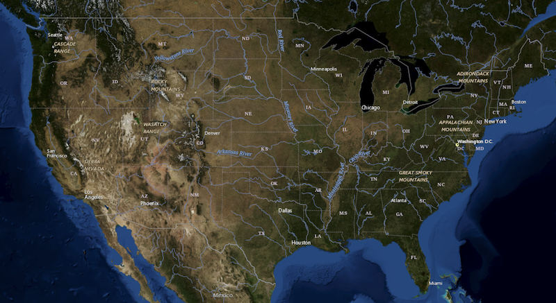
USGS Imagery Topo is a topographic tile cache base map with orthoimagery as a backdrop, and combines the most current data (Boundaries, Names, Transportation, Elevation, Hydrography, and other themes) that make up The National Map. Contours generated for the US Topo product are included and are visible along with other data to the 1:18,000 zoom scale. This product is designed to provide a seamless view of the data, closely resembling The National Map's US Topo (GeoPDF) product at large scales, in a GIS accessible format. Orthoimagery data are typically high resolution aerial images that combine the visual attributes of an aerial photograph with the spatial accuracy and reliability of a map. Digital orthoimage resolution...
The GAP Status Code is a measure of management intent to conserve biodiversity defined as: Status 1: An area having permanent protection from conversion of natural land cover and a mandated management plan in operation to maintain a natural state within which disturbance events (of natural type, frequency, intensity, and legacy) are allowed to proceed without interference or are mimicked through management. Status 2: An area having permanent protection from conversion of natural land cover and a mandated management plan in operation to maintain a primarily natural state, but which may receive uses or management practices that degrade the quality of existing natural communities, including suppression of natural disturbance....
Ecoregions denote areas of general similarity in ecosystems and in the type, quality, and quantity of environmental resources. They are designed to serve as a spatial framework for the research, assessment, management, and monitoring of ecosystems and ecosystem components. These general purpose regions are critical for structuring and implementing ecosystem management strategies across federal agencies, state agencies, and nongovernment organizations that are responsible for different types of resources within the same geographical areas. The approach used to compile this map is based on the premise that ecological regions can be identified through the analysis of patterns of biotic and abiotic phenomena, including...
NFHP 2015 National Assessment of Fish Habitat Condition Index 2015: Dissolved by Risk Classification
This map service displays a composite view of the National Fish Habitat Partnership's (NFHP) 2015 National Assessment of Fish Habitat Condition Index (HCI) Scores for both streams and estuaries. HCI scores represent current risk of fish habitat degradation due to anthropogenic disturbance factors. Fish habitats with very high risk of habitat degredation are shown in red, high risk in orange, moderate risk in green, low risk in blue and very low risk in purple. For detailed information about the input datasets used to derive this service see the following links: http://assessment.fishhabitat.org/#578a9a43e4b0c1aacab89763/578a99f4e4b0c1aacab89699.
The GAP National Terrestrial Ecosystems - Ver 3.0 is a 2011 update of the National Gap Analysis Project Land Cover Data - Version 2.2 for the conterminous U.S. The GAP National Terrestrial Ecosystems - Version 3.0 represents a highly thematically detailed land cover map of the U.S. The map legend includes types described by NatureServe's Ecological Systems Classification (Comer et al. 2002) as well as land use classes described in the National Land Cover Dataset 2011 (Homer et al. 2015). These data cover the entire continental U.S. and are a continuous data layer. These raster data have a 30 m x 30 m cell resolution. GAP used the best information available to create the land cover data; however GAP seeks to improve...
Categories: Data;
Types: Map Service,
OGC WMS Layer;
Tags: Alabama,
Alaska,
Appalachian,
Arizona,
Arkansas,

Large Marine Ecosystems (LMEs) are relatively large areas of ocean space of approximately 200,000 sq km; or greater, adjacent to the continents in coastal waters where primary productivity is generally higher than in open ocean areas.
Categories: Data
Large Marine Ecosystems (LMEs) are relatively large areas of ocean space of approximately 200,000 sq km; or greater, adjacent to the continents in coastal waters where primary productivity is generally higher than in open ocean areas. This Biogeographic Synthesis Composition takes an LME identifier as an input parameter and assemples a set of Biogeographic Analysis Packages that present information about the status and trends of biodiversity in the LME.
This Biogeographic Synthesis Composition presents biogeographic and biodiversity information about Omernik Level 3 Ecoregions. It requires a reference to an ecoregion and assembles a set of Biogeographic Analysis Packages that use that input to assemble summarization and statistical analysis reports about the status and trends of biodiversity for the ecoregion.

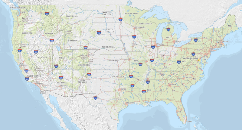
USGS Topo is a topographic tile cache base map that combines the most current data (Boundaries, Names, Transportation, Elevation, Hydrography, Land Cover, and other themes) that make up The National Map. Contours generated for the US Topo product are included and are visible along with other data to the 1:18,000 zoom scale. This product is designed to provide a seamless view of the data, closely resembling The National Map's US Topo (GeoPDF) product at large scales, in a GIS accessible format.
|

|