Folders: ROOT > ScienceBase Catalog > National Geospatial Program > The National Map > USGS Historical Topographic Map Collection > Historical Topographic Maps 1 x 1 Degree Map Series ( Show all descendants )
492 results (16ms)
Location
Folder
ROOT _ScienceBase Catalog __National Geospatial Program ___The National Map ____USGS Historical Topographic Map Collection _____Historical Topographic Maps 1 x 1 Degree Map Series Filters
Date Range
Contacts Tag Types Tag Schemes |

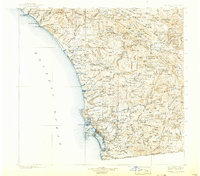
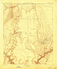
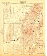
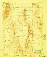
USGS Historical Quadrangle in GeoPDF.

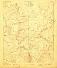
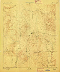
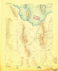
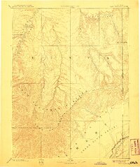
USGS Historical Quadrangle in GeoPDF.
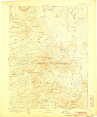
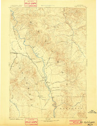
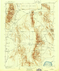
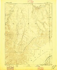
USGS Historical Quadrangle in GeoPDF.
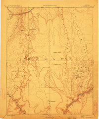
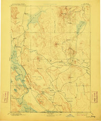
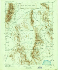
USGS Historical Quadrangle in GeoPDF.
USGS Historical Quadrangle in GeoPDF.
USGS Historical Quadrangle in GeoPDF.
USGS Historical Quadrangle in GeoPDF.
USGS Historical Quadrangle in GeoPDF.

USGS Historical Quadrangle in GeoPDF.
USGS Historical Quadrangle in GeoPDF.

USGS Historical Quadrangle in GeoPDF.
USGS Historical Quadrangle in GeoPDF.
USGS Historical Quadrangle in GeoPDF.
USGS Historical Quadrangle in GeoPDF.

USGS Historical Quadrangle in GeoPDF.
USGS Historical Quadrangle in GeoPDF.
USGS Historical Quadrangle in GeoPDF.
USGS Historical Quadrangle in GeoPDF.
USGS Historical Quadrangle in GeoPDF.
USGS Historical Quadrangle in GeoPDF.
|

|
