Location
Folder
ROOT
_ScienceBase Catalog
__National Geospatial Program
___The National Map
____USGS Historical Topographic Map Collection
_____Historical Topographic Maps 1 x 1 Degree Map Series
Filters
Date Range
Contacts
Tag Types
Tag Schemes
|
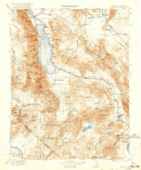
USGS Historical Quadrangle in GeoPDF.
Tags: 1 x 1 degree,
Downloadable Data,
GeoPDF,
GeoTIFF,
Hawthorne, All tags...
Historical Topographic Maps,
Historical Topographic Maps 1 x 1 Degree Map Series,
Map,
NV,
imageryBaseMapsEarthCover, Fewer tags
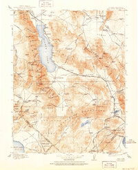
USGS Historical Quadrangle in GeoPDF.
Tags: 1 x 1 degree,
Downloadable Data,
GeoPDF,
GeoTIFF,
Hawthorne, All tags...
Historical Topographic Maps,
Historical Topographic Maps 1 x 1 Degree Map Series,
Map,
NV,
imageryBaseMapsEarthCover, Fewer tags
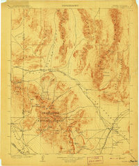
USGS Historical Quadrangle in GeoPDF.
Tags: 1 x 1 degree,
Downloadable Data,
GeoPDF,
GeoTIFF,
Historical Topographic Maps, All tags...
Historical Topographic Maps 1 x 1 Degree Map Series,
Las Vegas,
Map,
NV,
imageryBaseMapsEarthCover, Fewer tags
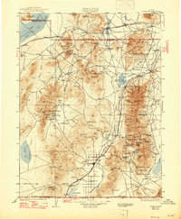
USGS Historical Quadrangle in GeoPDF.
Tags: 1 x 1 degree,
Downloadable Data,
GeoPDF,
GeoTIFF,
Historical Topographic Maps, All tags...
Historical Topographic Maps 1 x 1 Degree Map Series,
Lovelock,
Map,
NV,
imageryBaseMapsEarthCover, Fewer tags
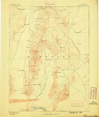
USGS Historical Quadrangle in GeoPDF.
Tags: 1 x 1 degree,
Downloadable Data,
GeoPDF,
GeoTIFF,
Historical Topographic Maps, All tags...
Historical Topographic Maps 1 x 1 Degree Map Series,
Map,
NV,
Paradise,
imageryBaseMapsEarthCover, Fewer tags
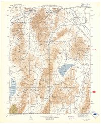
USGS Historical Quadrangle in GeoPDF.
Tags: 1 x 1 degree,
Downloadable Data,
GeoPDF,
GeoTIFF,
Historical Topographic Maps, All tags...
Historical Topographic Maps 1 x 1 Degree Map Series,
Map,
NV,
Sonoma Range,
imageryBaseMapsEarthCover, Fewer tags
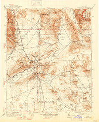
USGS Historical Quadrangle in GeoPDF.
Tags: 1 x 1 degree,
CA,
Downloadable Data,
GeoPDF,
GeoTIFF, All tags...
Historical Topographic Maps,
Historical Topographic Maps 1 x 1 Degree Map Series,
Map,
Searles Lake,
imageryBaseMapsEarthCover, Fewer tags
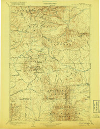
USGS Historical Quadrangle in GeoPDF.
Tags: 1 x 1 degree,
Downloadable Data,
GeoPDF,
GeoTIFF,
Historical Topographic Maps, All tags...
Historical Topographic Maps 1 x 1 Degree Map Series,
Little Belt Mts.,
MT,
Map,
imageryBaseMapsEarthCover, Fewer tags
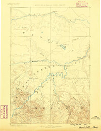
USGS Historical Quadrangle in GeoPDF.
Tags: 1 x 1 degree,
Downloadable Data,
GeoPDF,
GeoTIFF,
Great Falls, All tags...
Historical Topographic Maps,
Historical Topographic Maps 1 x 1 Degree Map Series,
MT,
Map,
imageryBaseMapsEarthCover, Fewer tags
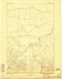
USGS Historical Quadrangle in GeoPDF.
Tags: 1 x 1 degree,
Downloadable Data,
GeoPDF,
GeoTIFF,
Great Falls, All tags...
Historical Topographic Maps,
Historical Topographic Maps 1 x 1 Degree Map Series,
MT,
Map,
imageryBaseMapsEarthCover, Fewer tags
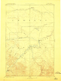
USGS Historical Quadrangle in GeoPDF.
Tags: 1 x 1 degree,
Downloadable Data,
GeoPDF,
GeoTIFF,
Great Falls, All tags...
Historical Topographic Maps,
Historical Topographic Maps 1 x 1 Degree Map Series,
MT,
Map,
imageryBaseMapsEarthCover, Fewer tags
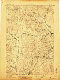
USGS Historical Quadrangle in GeoPDF.
Tags: 1 x 1 degree,
Downloadable Data,
GeoPDF,
GeoTIFF,
Helena, All tags...
Historical Topographic Maps,
Historical Topographic Maps 1 x 1 Degree Map Series,
MT,
Map,
imageryBaseMapsEarthCover, Fewer tags
USGS Historical Quadrangle in GeoPDF.
Tags: 1 x 1 degree,
Downloadable Data,
GeoPDF,
GeoTIFF,
Historical Topographic Maps, All tags...
Historical Topographic Maps 1 x 1 Degree Map Series,
MT,
Map,
Three Forks,
imageryBaseMapsEarthCover, Fewer tags
USGS Historical Quadrangle in GeoPDF.
Tags: 1 x 1 degree,
Downloadable Data,
GeoPDF,
GeoTIFF,
Historical Topographic Maps, All tags...
Historical Topographic Maps 1 x 1 Degree Map Series,
Map,
Salt Lake,
UT,
imageryBaseMapsEarthCover, Fewer tags
USGS Historical Quadrangle in GeoPDF.
Tags: 1 x 1 degree,
Ashley,
Downloadable Data,
GeoPDF,
GeoTIFF, All tags...
Historical Topographic Maps,
Historical Topographic Maps 1 x 1 Degree Map Series,
Map,
UT,
imageryBaseMapsEarthCover, Fewer tags
USGS Historical Quadrangle in GeoPDF.
Tags: 1 x 1 degree,
Beaver,
Downloadable Data,
GeoPDF,
GeoTIFF, All tags...
Historical Topographic Maps,
Historical Topographic Maps 1 x 1 Degree Map Series,
Map,
UT,
imageryBaseMapsEarthCover, Fewer tags
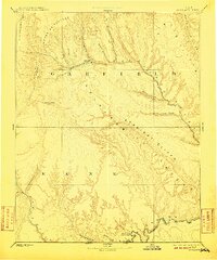
USGS Historical Quadrangle in GeoPDF.
Tags: 1 x 1 degree,
Downloadable Data,
Escalante,
GeoPDF,
GeoTIFF, All tags...
Historical Topographic Maps,
Historical Topographic Maps 1 x 1 Degree Map Series,
Map,
UT,
imageryBaseMapsEarthCover, Fewer tags
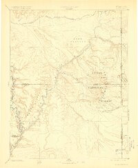
USGS Historical Quadrangle in GeoPDF.
Tags: 1 x 1 degree,
Downloadable Data,
GeoPDF,
GeoTIFF,
Historical Topographic Maps, All tags...
Historical Topographic Maps 1 x 1 Degree Map Series,
La Sal,
Map,
UT,
imageryBaseMapsEarthCover, Fewer tags
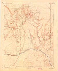
USGS Historical Quadrangle in GeoPDF.
Tags: 1 x 1 degree,
Abajo,
Downloadable Data,
GeoPDF,
GeoTIFF, All tags...
Historical Topographic Maps,
Historical Topographic Maps 1 x 1 Degree Map Series,
Map,
UT,
imageryBaseMapsEarthCover, Fewer tags
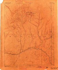
USGS Historical Quadrangle in GeoPDF.
Tags: 1 x 1 degree,
Abajo,
Downloadable Data,
GeoPDF,
GeoTIFF, All tags...
Historical Topographic Maps,
Historical Topographic Maps 1 x 1 Degree Map Series,
Map,
UT,
imageryBaseMapsEarthCover, Fewer tags
|
|
