Folders: ROOT > ScienceBase Catalog > National Geospatial Program > The National Map > USGS Land Cover - Woodland Downloadable Data Collection ( Show all descendants )
107 results (85ms)
Location
Folder
ROOT _ScienceBase Catalog __National Geospatial Program ___The National Map ____USGS Land Cover - Woodland Downloadable Data Collection Filters
Date Range
Types Contacts Tag Types Tag Schemes |
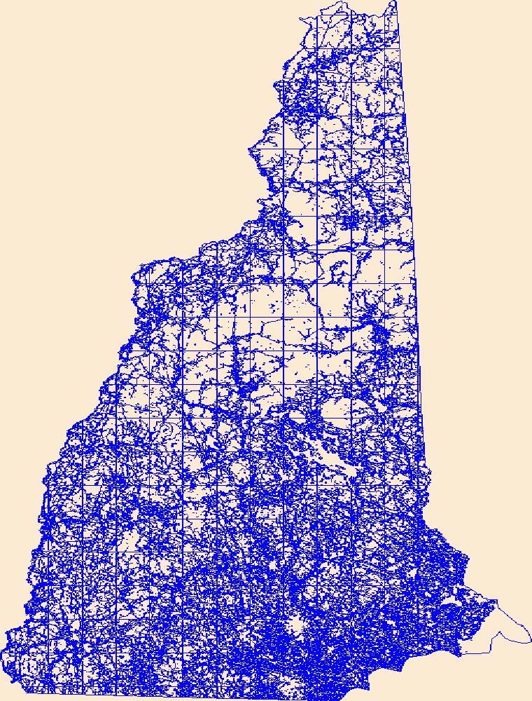
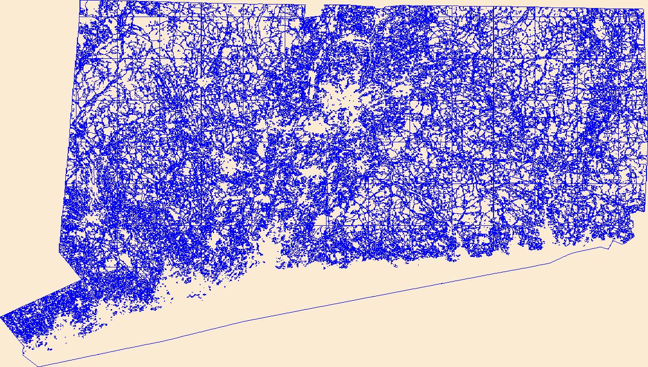
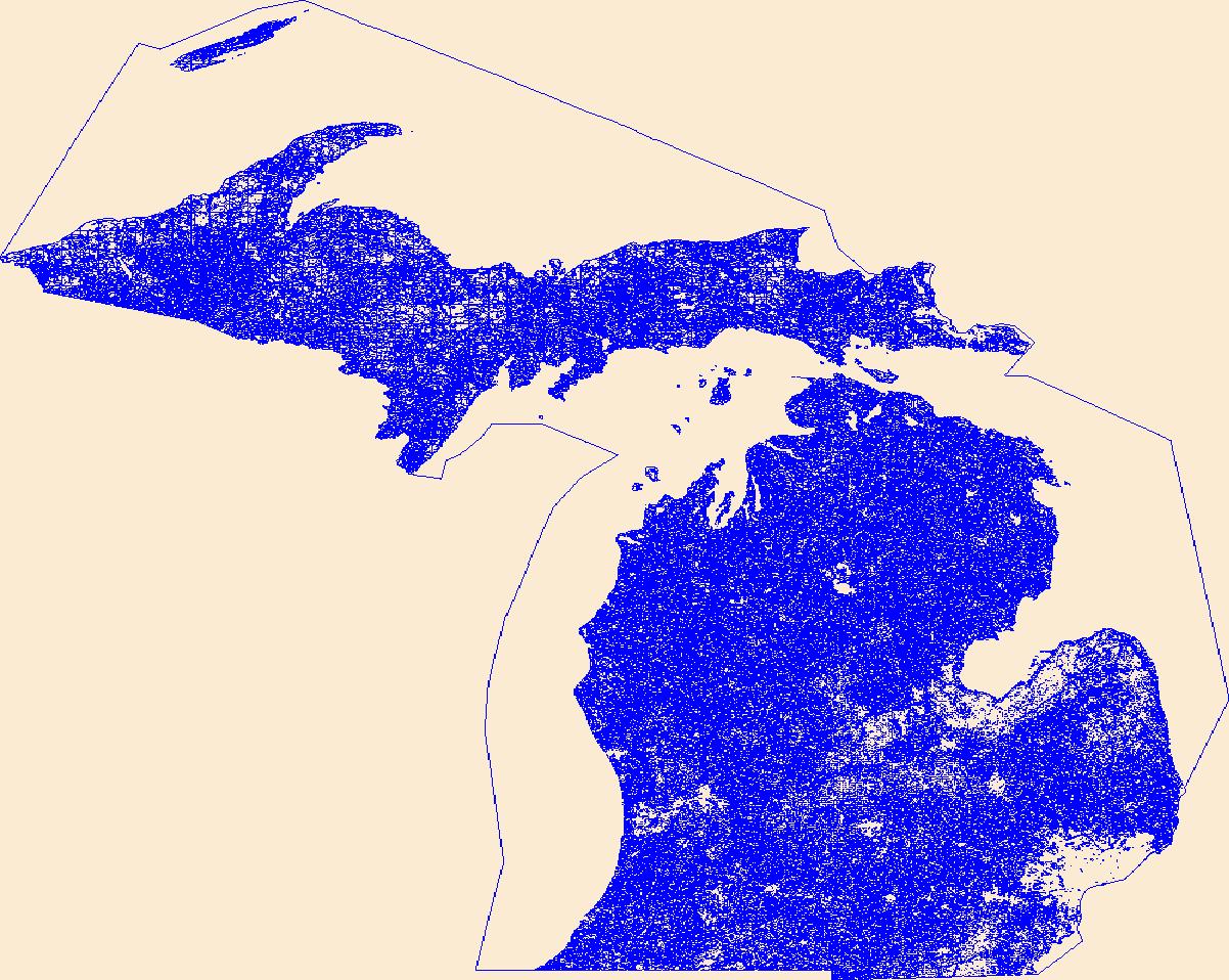
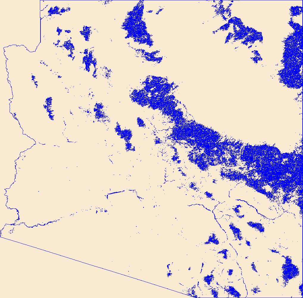
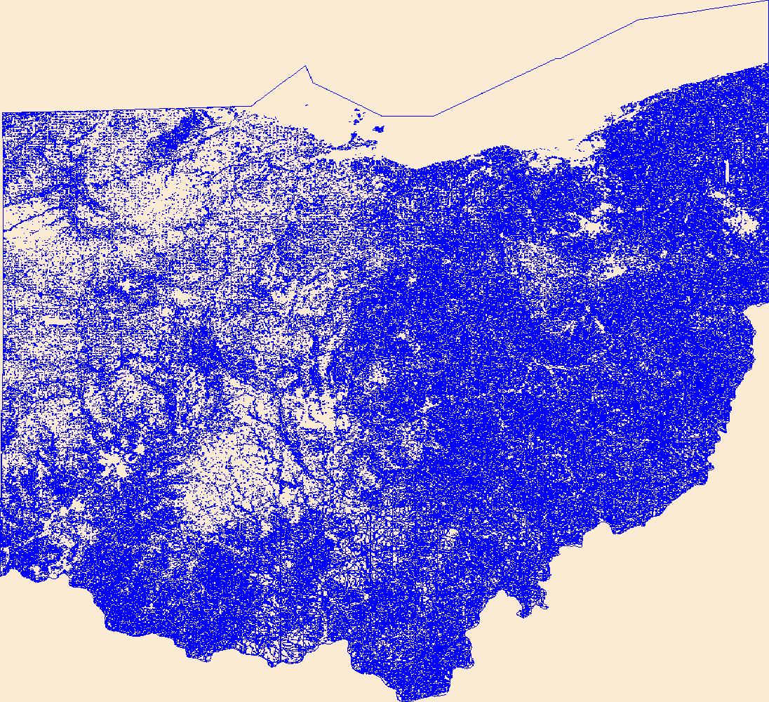
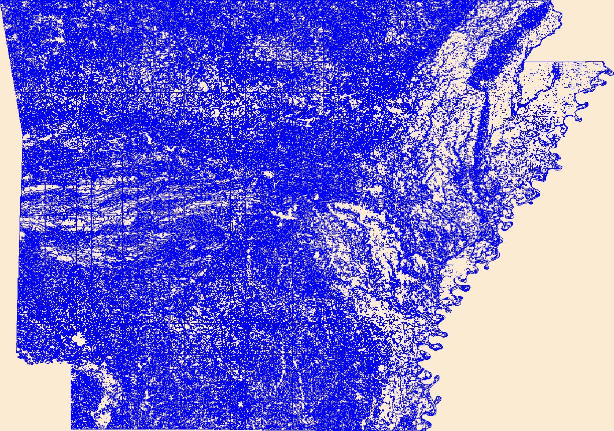
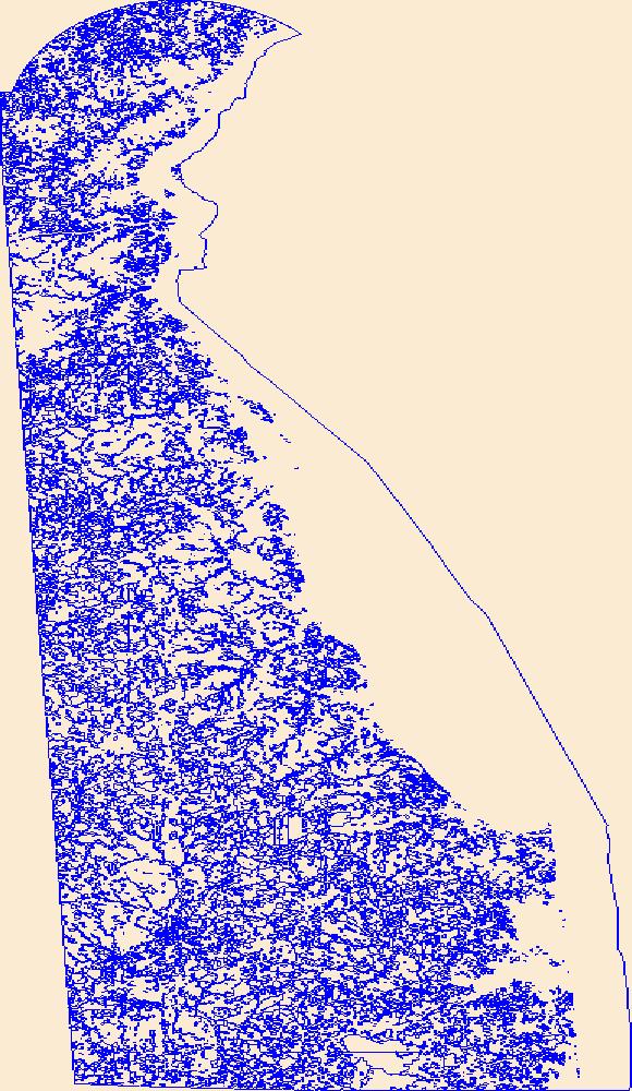
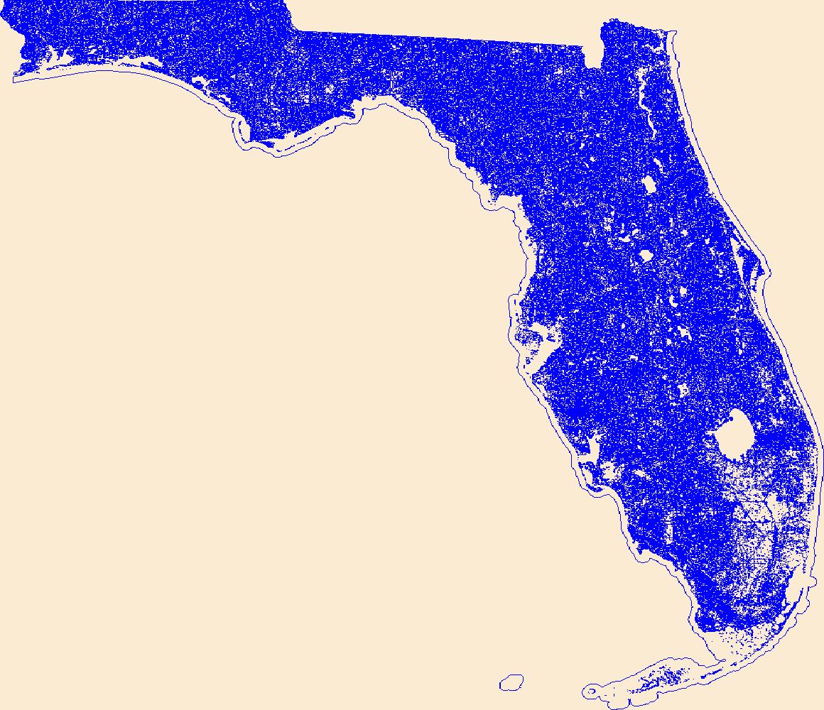
Geospatial data that is a derivative land cover product depicting woodland on topographic maps.
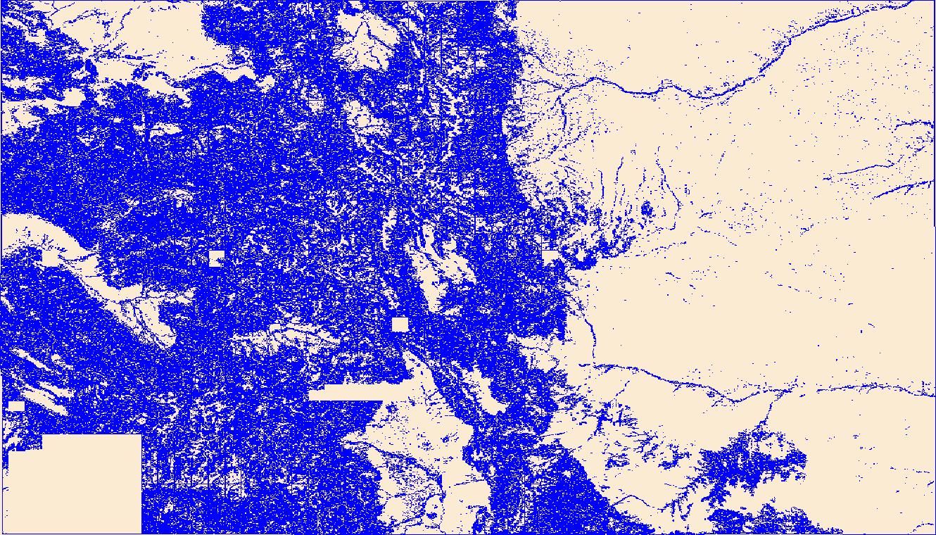
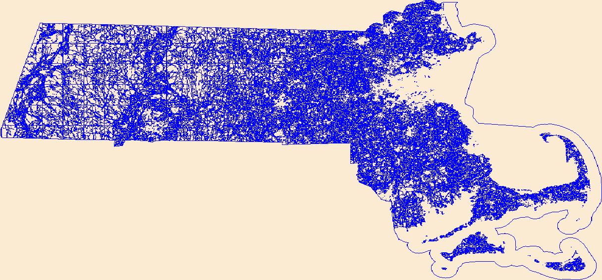
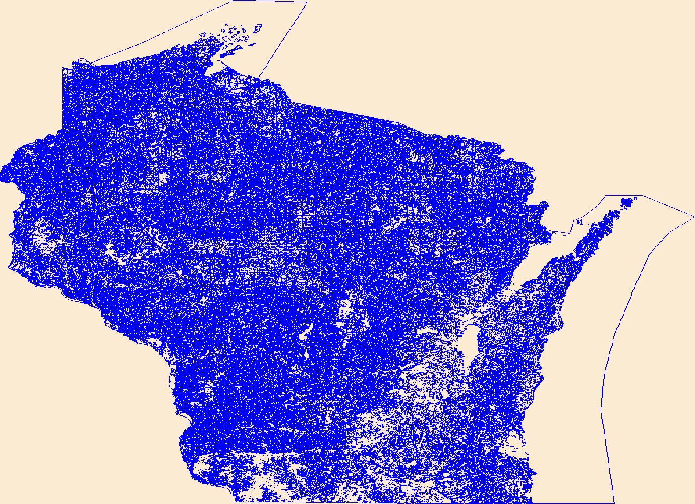
Geospatial data that is a derivative land cover product depicting woodland on topographic maps.
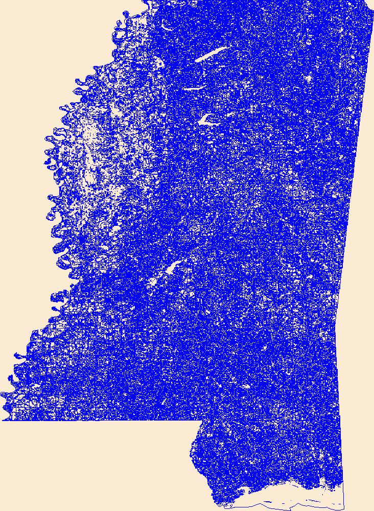
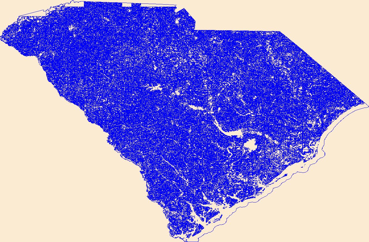
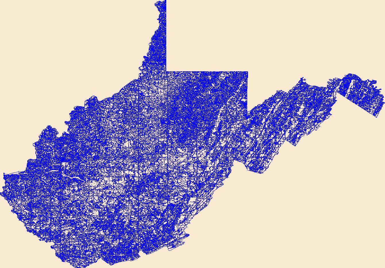
Geospatial data that is a derivative land cover product depicting woodland on topographic maps.

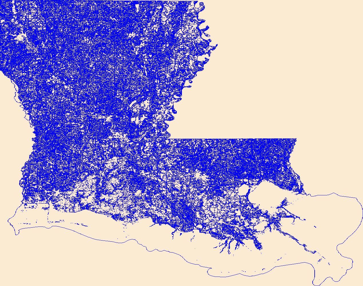
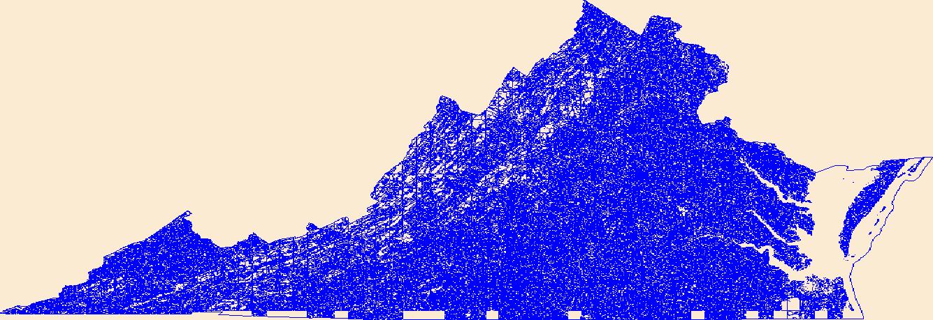
Geospatial data that is a derivative land cover product depicting woodland on topographic maps.

Geospatial data that is a derivative land cover product depicting woodland on topographic maps.
Geospatial data that is a derivative land cover product depicting woodland on topographic maps.
Geospatial data that is a derivative land cover product depicting woodland on topographic maps.
Geospatial data that is a derivative land cover product depicting woodland on topographic maps.
Geospatial data that is a derivative land cover product depicting woodland on topographic maps.
Geospatial data that is a derivative land cover product depicting woodland on topographic maps.
Geospatial data that is a derivative land cover product depicting woodland on topographic maps.
Geospatial data that is a derivative land cover product depicting woodland on topographic maps.
Geospatial data that is a derivative land cover product depicting woodland on topographic maps.
Geospatial data that is a derivative land cover product depicting woodland on topographic maps.
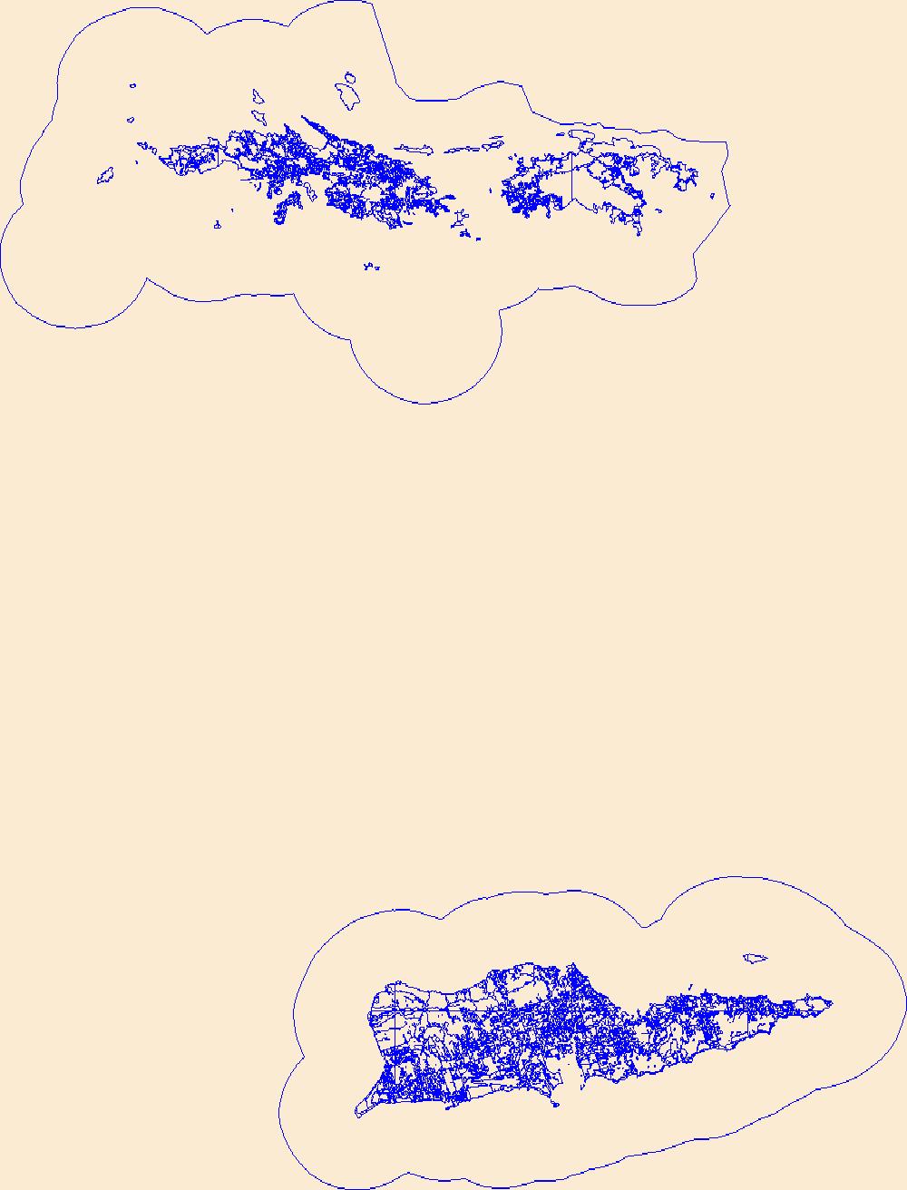
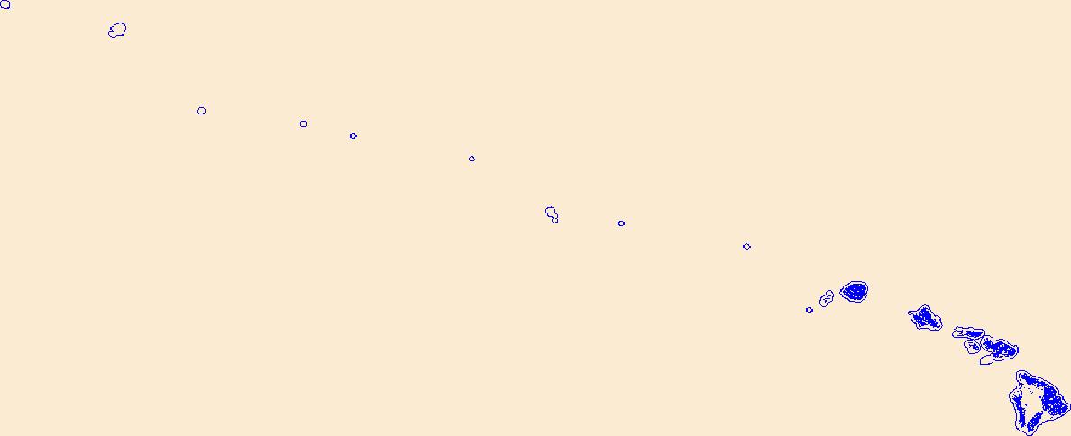
USGS Land Cover - Woodland for United States Virgin Islands 20180913 State or Territory FileGDB 10.1
Geospatial data that is a derivative land cover product depicting woodland on topographic maps.
Geospatial data that is a derivative land cover product depicting woodland on topographic maps.
Geospatial data that is a derivative land cover product depicting woodland on topographic maps.
Geospatial data that is a derivative land cover product depicting woodland on topographic maps.
Geospatial data that is a derivative land cover product depicting woodland on topographic maps.
Geospatial data that is a derivative land cover product depicting woodland on topographic maps.
|

|
