Filters: Tags: Alpine (X)
175 results (233ms)|
Filters
Date Range
Extensions Types Contacts
Categories Tag Types
|
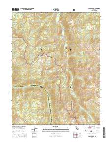
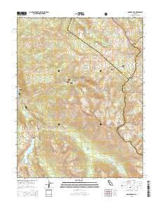
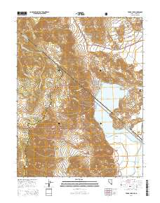
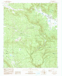
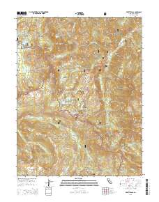
Layered GeoPDF 7.5 Minute Quadrangle Map. Layers of geospatial data include orthoimagery, roads, grids, geographic names, elevation contours, hydrography, and other selected map features.
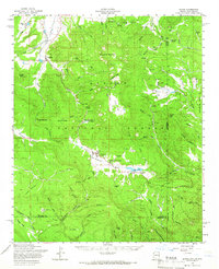
Layered GeoPDF 7.5 Minute Quadrangle Map. Layers of geospatial data include orthoimagery, roads, grids, geographic names, elevation contours, hydrography, and other selected map features.
Layered GeoPDF 7.5 Minute Quadrangle Map. Layers of geospatial data include orthoimagery, roads, grids, geographic names, elevation contours, hydrography, and other selected map features.
Layered GeoPDF 7.5 Minute Quadrangle Map. Layers of geospatial data include orthoimagery, roads, grids, geographic names, elevation contours, hydrography, and other selected map features.
Layered GeoPDF 7.5 Minute Quadrangle Map. Layers of geospatial data include orthoimagery, roads, grids, geographic names, elevation contours, hydrography, and other selected map features.
Layered GeoPDF 7.5 Minute Quadrangle Map. Layers of geospatial data include orthoimagery, roads, grids, geographic names, elevation contours, hydrography, and other selected map features.
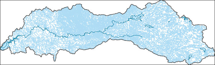
The National Hydrography Dataset (NHD) is a feature-based database that interconnects and uniquely identifies the stream segments or reaches that make up the nation's surface water drainage system. NHD data was originally developed at 1:100,000-scale and exists at that scale for the whole country. This high-resolution NHD, generally developed at 1:24,000/1:12,000 scale, adds detail to the original 1:100,000-scale NHD. (Data for Alaska, Puerto Rico and the Virgin Islands was developed at high-resolution, not 1:100,000 scale.) Local resolution NHD is being developed where partners and data exist. The NHD contains reach codes for networked features, flow direction, names, and centerline representations for areal water...
The Canadian portion of the Crown of the Continent (CCoC) ecosystem has been identified as crucial for wolverines north of the US border to rescue or supply individuals and genes through dispersal to the highly fragmented population in the northern US Rocky Mountains. Highway 3, motorized recreation, and a growing resource extraction industry, however, increasingly fragment this critical landscape. This project will capitalize on multi-year wolverine occupancy and genetic data collected noninvasively in a >40,000 km2 area encompassing the core protected areas of the central Canadian Rocky Mountains to the north; and Glacier-Waterton Lakes National Park complex in the south. Our goal is to obtain spatially-explicit...
Categories: Data,
Project;
Types: Map Service,
OGC WFS Layer,
OGC WMS Layer,
OGC WMS Service;
Tags: Alberta,
Alpine,
Applications and Tools,
British Columbia,
Climate Change,

Layers of geospatial data include roads, airports, trails, and railroads.

An existing three-dimensional groundwater flow model of northern Utah County (https://doi.org/10.3133/sir20095049), was updated for use with the Groundwater Management Process(GWM) for MODFLOW-2005, to evaluate the optimal managed aquifer recharge scenarios with the objective of maintaining acceptable reductions in simulated discharge at 12 groundwater discharge areas along Utah Lake. Groundwater is a primary source of drinking water in northern Utah County. By 2066, the amount of groundwater withdrawn is estimated to be roughly 65 percent of annual average recharge. To prepare for anticipated future increases in groundwater withdrawals, local cities have identified 16 locations as feasible for managed aquifer recharge....
The focus of this dataset is soil temperature collected on four mountain summits in Glacier National Park, Montana, USA from 2003 through 2018. Two summit sites were established in 2003 on Dancing Lady and Bison Mountain, east of the continental divide. Two additional summit sites were established in 2004 on Pitamakin and Mt. Seward, also east of the continental divide. These four summit sites comprise a target region set up in accordance with the Global Observation Research Initiative in Alpine Environments (GLORIA). GLORIA was initiated by the University of Vienna in 2000 and protocols for operating target regions have been refined and revised since then. Sixty-nine GLORIA target regions now exist throughout the...
This dataset is focused on alpine plant species presence/absence, species turnover, and trends in species abundance on four mountain summits in Glacier National Park, Montana, USA from 2003 through 2014. Two summit sites were established in 2003 on Dancing Lady and Bison Mountain, east of the continental divide. Two additional summit sites were established in 2004 on Pitamakin and Mt. Seward, also east of the continental divide. This multi-summit approach to monitoring alpine plant species follows the protocols of the Global Observation Research Initiative in Alpine Environments (GLORIA) that were initiated by the University of Vienna in 2000 and which have been refined and revised since then. GLORIA summit sites...
Categories: Data;
Tags: CCME-alpine veg,
GLORIA,
Glacier National Park,
Montana,
USGS Science Data Catalog (SDC),
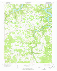
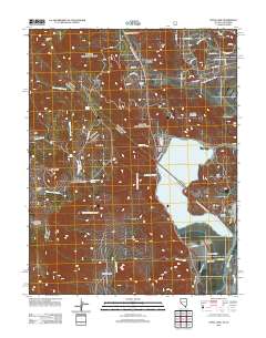
USGS Historical Quadrangle in GeoPDF.
USGS Historical Quadrangle in GeoPDF.
USGS Historical Quadrangle in GeoPDF.
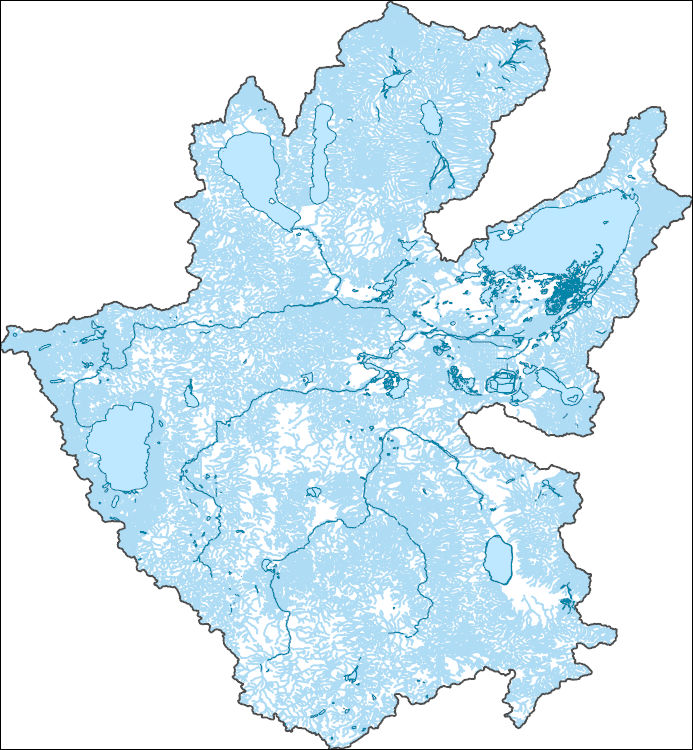
The National Hydrography Dataset (NHD) is a feature-based database that interconnects and uniquely identifies the stream segments or reaches that make up the nation's surface water drainage system. NHD data was originally developed at 1:100,000-scale and exists at that scale for the whole country. This high-resolution NHD, generally developed at 1:24,000/1:12,000 scale, adds detail to the original 1:100,000-scale NHD. (Data for Alaska, Puerto Rico and the Virgin Islands was developed at high-resolution, not 1:100,000 scale.) Local resolution NHD is being developed where partners and data exist. The NHD contains reach codes for networked features, flow direction, names, and centerline representations for areal water...
Layered GeoPDF 7.5 Minute Quadrangle Map. Layers of geospatial data include orthoimagery, roads, grids, geographic names, elevation contours, hydrography, and other selected map features.
Density estimates of four mammal species in the upper subalpine and alpine zones of the Sierra Nevada range, 2008 - 2012. The estimates were derived from variable distance data collected 3-4 per year along each of 21 transects (10 km in length). The transects were randomly selected from a pool of 53 potential routes. Nine transects were sampled in 2008, 12 were sampled in 2009, 19 were sampled in 2010, 21 were sampled in 2011, and 17 were sampled in 2012. All counts were done in July and August each year. Replicate samples within a given year were done within 2-8 days of each other. All counts were done by single observers. The spreadsheet has six worksheets, including three with density estimates for each species...
Categories: Data;
Tags: Abundance,
Alpine,
Belding's ground squirrel,
Distance sampling,
Golden-mantled ground squirrel,
Establishing connections among natural landscapes is the most frequently recommended strategy for adapting management of natural resources in response to climate change. The U.S. Northern Rockies still support a full suite of native wildlife, and survival of these populations depends on connected landscapes. Connected landscapes support current migration and dispersal as well as future shifts in species ranges that will be necessary for species to adapt to our changing climate. Working in partnership with state and federal resource managers and private land trusts, we sought to: 1) understand how future climate change may alter habitat composition of landscapes expected to serve as important connections for wildlife,...
Categories: Data;
Types: ArcGIS Map Package,
Citation,
Downloadable;
Tags: Alpine,
Connectivity,
Environment and Conservation,
Forests,
Grasslands and Plains,
Layered GeoPDF 7.5 Minute Quadrangle Map. Layers of geospatial data include orthoimagery, roads, grids, geographic names, elevation contours, hydrography, and other selected map features.
|

|
