Filters: Tags: Beaver Creek (X)
21 results (104ms)|
Filters
Date Range
Contacts
Categories Tag Types
|
During 2009, the Alaska Division of Geological & Geophysical Surveys continued a program, begun in 2006, of reconnaissance mapping of surficial geology in the proposed natural-gas pipeline corridor through the upper Tanana River valley. The study area is a 12-mi-wide (19.3-km-wide) area that straddles the Alaska Highway from the western boundaries of the Tanacross B-3 and A-3 quadrangles near Tetlin Junction eastward to the eastern boundaries of the Nabesna D-1 and C-1 quadrangles along the Canada border. Mapping during 2008-2009 in the Tanacross and Nabesna quadrangles linked with the mapping completed in the Tanacross, Big Delta and Mt. Hayes quadrangles in 2006-2008. Surficial geology was initially mapped in...
This is a geochemical data set from the reanalysis of 44 rock samples collected between 1966 and 1970, and 107 sediment samples collected in 1966 and 1967. These samples were collected by the U.S. Geological Survey for a study investigating the mineral resources of the Idaho Primitive Area (Cater et al., 1973). The samples are from the Lower Middle Fork of the Salmon River, including the tributaries of Big Creek, Camas Creek, Brush Creek, Wilson Creek, Waterfall Creek, Ship Island Creek, Reese Creek, Stoddard Creek, and Papoose Creek. The overall objective of this study is to characterize the regional impact of legacy mining for the Frank Church River of No Return Wilderness Area. Mary P. Rossillon (1981) explored...
Categories: Data;
Tags: Annie Creek,
Atomic absorption analysis,
Atomic emission spectroscopy,
Beaver Creek,
Big Creek,
USGS Historical Quadrangle in GeoPDF.
USGS Historical Quadrangle in GeoPDF.
USGS Historical Quadrangle in GeoPDF.
USGS Historical Quadrangle in GeoPDF.
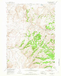
USGS Historical Quadrangle in GeoPDF.
Fort Belknap Indian Reservation. Mouth of Beaver Creek Canyon, T. 25 N., R. 26 E. Hanging gulch at left at level of No.2 bench. Montana. July 24, 1921.
Categories: Image;
Tags: Alden, W.C. Collection,
Beaver Creek,
Gallatin County, Montana,
Mills, Mines, Quarries,
Photographers,
This USGS data release evaluates the impact of historical mining sites on water quality using samples collected in late July 2021 from Big Creek tributaries Coin Creek, Smith Creek, and Monumental Creek in Valley County, Idaho. These data were collected to support a fisheries mining impact assessment in the Middle Fork Salmon River. Specific conductance, pH, and stream temperature were measured in the field. Analyses include major cations and anions, alkalinity, trace metals, total mercury, and methylmercury.
Categories: Data;
Tags: "Geochemistry",
"Land Use Change",
"Water Quality"],
Beaver Creek,
Big Creek,
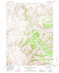
USGS Historical Quadrangle in GeoPDF.
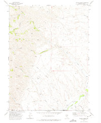
USGS Historical Quadrangle in GeoPDF.
During 2009 the Alaska Division of Geological & Geophysical Surveys (DGGS) conducted reconnaissance interpretive mapping of permafrost in Alaska Highway Corridor Segment 3, a 12-mi-wide (19.3-km-wide) corridor that straddles the Alaska Highway through the Northway-Tanacross Lowland and the southern Yukon-Tanana Upland from Tetlin Junction to the Canada border. This work was an extension of permafrost mapping done in Alaska Highway Corridor Segment 1 from Delta Junction to Dot Lake in the Big Delta and Mt. Hayes Quadrangles during 2006-2007 and Alaska Highway Corridor Segment 2 from the Robertson River to Tetlin Junction in the Tanacross Quadrangles during 2008. Primarily, we inferred the extent of permafrost and...
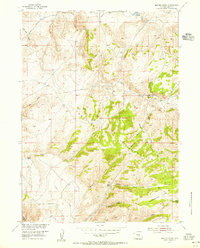
USGS Historical Quadrangle in GeoPDF.
USGS Historical Quadrangle in GeoPDF.

USGS Historical Quadrangle in GeoPDF.

USGS Historical Quadrangle in GeoPDF.
Little Rocky Mountains: No. 2 bench heading at a great notch in the wall of upturned Paleozoic limestone. View south of Beaver Creek. The highest (No. 1) bench, corresponding to the Flaxville Plain, before its destruction headed at the top of the limestone wall, about 300 feet higher than No. 2 bench. Blaine County, Montana. July 24, 1921. Plate 23-A, U.S. Geological Survey Professional paper 174. 1932.
Categories: Image;
Tags: Alden, W.C. Collection,
Beaver Creek,
Blaine County, Montana,
Mills, Mines, Quarries,
Photographers,
This U.S. Geological Survey (USGS) data release is an assessment of aquatic habitat within the tributaries of the lower Middle Fork Salmon River. These datasets are primarily focused on physical stream habitat (2020-21 stream temperature data) and the presence or absence (2021 eDNA data) of fish that inhabit the basin. Many environmental stressors contribute to the declining range and density of Bull trout (S. confluentus) populations, one of which is the toxic trace metals contributions from legacy mine waste and adits. These data were collected in stream habitats with variable physical and thermal conditions. Characterizing and comparing reference streams of similar physical attributes will assist to differentiate...
Categories: Data;
Tags: "Environmental Health",
"Genetics",
"Geochemistry",
"Hydrology",
"Water Quality"],
USGS Historical Quadrangle in GeoPDF.
During 2009, the Alaska Division of Geological & Geophysical Surveys continued a program, begun in 2006, of reconnaissance mapping of surficial geology in the proposed natural-gas pipeline corridor through the upper Tanana River valley. The study area is a 12-mi-wide (19.3-km-wide) area that straddles the Alaska Highway from the western boundaries of the Tanacross B-3 and A-3 quadrangles near Tetlin Junction eastward to the eastern boundaries of the Nabesna D-1 and C-1 quadrangles along the Canada border. Mapping during 2008-2009 in the Tanacross and Nabesna quadrangles linked with the mapping completed in the Tanacross, Big Delta and Mt. Hayes quadrangles in 2006-2008. Surficial geology was initially mapped in...
|

|
