Filters: Tags: Beaver Lake (X)
12 results (101ms)|
Filters
Date Range
Extensions Types
Contacts
Categories Tag Types Tag Schemes |
Shallow subsurface electrical conductivity was mapped at Beaver Lake National Wildlife Refuge (NWR) in northwest North Dakota using the DUALEM421 electromagnetic sensor (Dualem, Inc., ON, Canada) in the winter of 2018. Data were acquired by towing the DUALEM421 sensor on a sled behind an all-terrain vehicle or snow machine, with the sensor at a nominal height of 0.3 meters (m) above ground surface. Approximately 127 line-kilometers (km) of data were acquired over an area of approximately 8 square-kilometers. At this survey location, the 4m transmitter-receiver horizontal co-planar and perpendicular coil orientations did not function due to equipment malfunction. Data were manually edited to remove sensor dropouts,...
Categories: Data;
Types: Downloadable,
Map Service,
OGC WFS Layer,
OGC WMS Layer,
Shapefile;
Tags: Beaver Lake,
GGGSC,
Geology, Geophysics, and Geochemistry Science Center,
NOROCK,
National Wildlife Refuge,
USGS Historical Quadrangle in GeoPDF.
Shallow subsurface electrical conductivity was mapped at selected U.S. Fish and Wildlife Service managed lands in northeast Montana and northwest North Dakota using the DUALEM421 electromagnetic sensor (Dualem, Inc., ON, Canada) in the winters of 2017 and 2018. Data were acquired by towing the DUALEM421 sensor on a sled behind an all-terrain vehicle or snow machine, with the sensor at a nominal height of 0.3 meters (m) above ground surface. Approximately 427 line-kilometers (km) of data were acquired over an area of nearly 26 square-kilometers. Data were manually edited to remove sensor dropouts, lag corrected for apparent offsets between recorded GPS location and data locations for each coil pair, and averaged...
Categories: Data;
Types: ArcGIS REST Map Service,
ArcGIS Service Definition,
Downloadable,
Map Service,
OGC WFS Layer,
OGC WMS Layer,
Shapefile;
Tags: Anderson,
Beaver Lake,
Bigslough,
Divide County, ND,
Dog Leg,
Beaver Lake was constructed in 1966 on the White River in the northwest corner of Arkansas for flood control, hydroelectric power, public water supply, and recreation. The surface area of Beaver Lake is about 27,900 acres and approximately 449 miles of shoreline are at the conservation pool level (1,120 feet above the North American Vertical Datum of 1988). Sedimentation in reservoirs can result in reduced water storage capacity and a reduction in usable aquatic habitat. Therefore, accurate and up-to-date estimates of reservoir water capacity are important for managing pool levels, power generation, water supply, recreation, and downstream aquatic habitat. Many of the lakes operated by the U.S. Army Corps of Engineers...
Beaver Lake was constructed in 1966 on the White River in the northwest corner of Arkansas for flood control, hydroelectric power, public water supply, and recreation. The surface area of Beaver Lake is about 27,900 acres and approximately 449 miles of shoreline are at the conservation pool level (1,120 feet above the North American Vertical Datum of 1988). Sedimentation in reservoirs can result in reduced water storage capacity and a reduction in usable aquatic habitat. Therefore, accurate and up-to-date estimates of reservoir water capacity are important for managing pool levels, power generation, water supply, recreation, and downstream aquatic habitat. Many of the lakes operated by the U.S. Army Corps of Engineers...
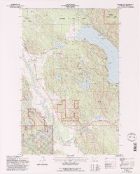
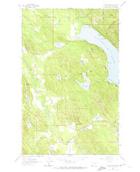
USGS Historical Quadrangle in GeoPDF.
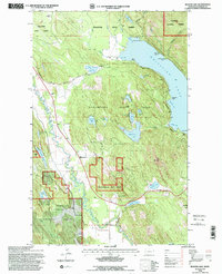
USGS Historical Quadrangle in GeoPDF.
USGS Historical Quadrangle in GeoPDF.
Beaver Lake was constructed in 1966 on the White River in the northwest corner of Arkansas for flood control, hydroelectric power, public water supply, and recreation. The surface area of Beaver Lake is about 27,900 acres and approximately 449 miles of shoreline are at the conservation pool level (1,120 feet above the North American Vertical Datum of 1988). Sedimentation in reservoirs can result in reduced water storage capacity and a reduction in usable aquatic habitat. Therefore, accurate and up-to-date estimates of reservoir water capacity are important for managing pool levels, power generation, water supply, recreation, and downstream aquatic habitat. Many of the lakes operated by the U.S. Army Corps of Engineers...
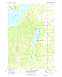
USGS Historical Quadrangle in GeoPDF.
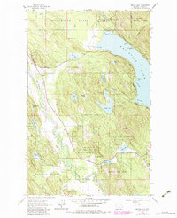
USGS Historical Quadrangle in GeoPDF.
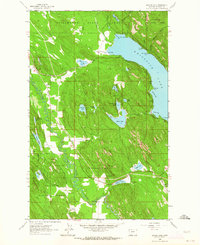
USGS Historical Quadrangle in GeoPDF.
|

|
