Filters: Tags: Berlin (X)
71 results (72ms)|
Filters
Date Range
Types Contacts
Categories Tag Types
|

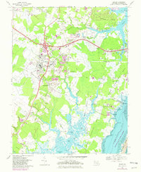
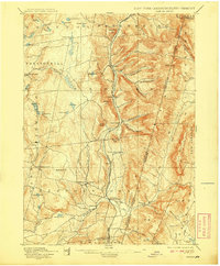
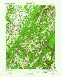
USGS Historical Quadrangle in GeoPDF.
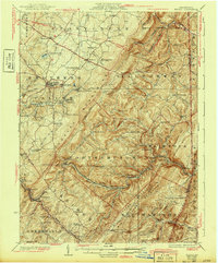
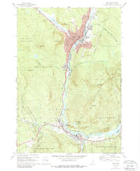
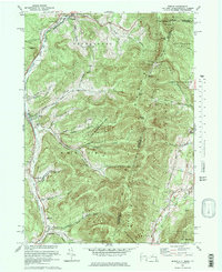
USGS Historical Quadrangle in GeoPDF.
Low-altitude (70 m above ground level) aerial images were collected over five areas of interest within the northern portion of Assateague Island National Seashore (ASIS) in mid-October, 2022. These images were collected to generate photogrammetric products (e.g. digital surface model (DSM), reflectance orthomosaic) to support science and data needs of National Park managers attempting to locate invasive Phragmites australis expansion. A DJI Matrice 600 uncrewed aircraft system (UAS) was equipped with a MicaSense Altum-PT multispectral camera and a Ricoh GRII true-color RGB camera to collect images simultaneously with sufficient overlap for photogrammetric processing. Ground control points (GCPs), black and white...
Low-altitude (70 m above ground level) aerial images were collected over five areas of interest within the northern portion of Assateague Island National Seashore (ASIS) in mid-October, 2022. These images were collected to generate photogrammetric products (e.g. digital surface model (DSM), reflectance orthomosaic) to support science and data needs of National Park managers attempting to locate invasive Phragmites australis expansion. A DJI Matrice 600 uncrewed aircraft system (UAS) was equipped with a MicaSense Altum-PT multispectral camera and a Ricoh GRII true-color RGB camera to collect images simultaneously with sufficient overlap for photogrammetric processing. Ground control points (GCPs), black and white...
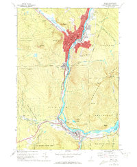
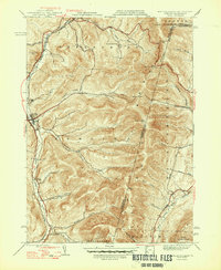
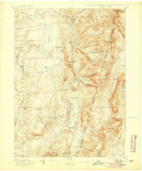
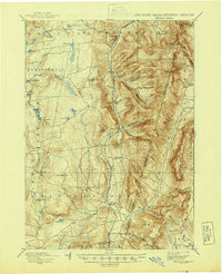
USGS Historical Quadrangle in GeoPDF.
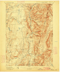
USGS Historical Quadrangle in GeoPDF.
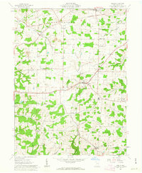
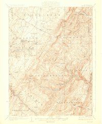
USGS Historical Quadrangle in GeoPDF.
USGS Historical Quadrangle in GeoPDF.
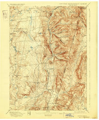
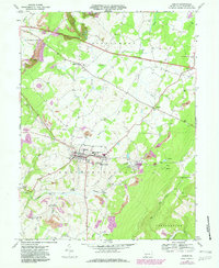
USGS Historical Quadrangle in GeoPDF.

USGS Historical Quadrangle in GeoPDF.
USGS Historical Quadrangle in GeoPDF.
USGS Historical Quadrangle in GeoPDF.
USGS Historical Quadrangle in GeoPDF.
USGS Historical Quadrangle in GeoPDF.
USGS Historical Quadrangle in GeoPDF.
Low-altitude (70 m above ground level) aerial images were collected over five areas of interest within the northern portion of Assateague Island National Seashore (ASIS) in mid-October, 2022. These images were collected to generate photogrammetric products (e.g. digital surface model (DSM), reflectance orthomosaic) to support science and data needs of National Park managers attempting to locate invasive Phragmites australis expansion. A DJI Matrice 600 uncrewed aircraft system (UAS) was equipped with a MicaSense Altum-PT multispectral camera and a Ricoh GRII true-color RGB camera to collect images simultaneously with sufficient overlap for photogrammetric processing. Ground control points (GCPs), black and white...
USGS Historical Quadrangle in GeoPDF.
USGS Historical Quadrangle in GeoPDF.
USGS Historical Quadrangle in GeoPDF.
USGS Historical Quadrangle in GeoPDF.
|

|
