Filters: Tags: Boulder County (X)
210 results (525ms)|
Filters
Date Range
Extensions Types Contacts
Categories Tag Types
|
LEFT HAND CREEK NR NIWOT
N. Saint Vrain High JAMS Project Rocky Mountain National Park near Thunder Lake
COAL CREEK ABV MCCASLIN RD AT SUPERIOR, CO
S BOULDER CR AT BASELINE ROAD NR BOULDER COLO
S BOULDER CR AT BASELINE ROAD NR BOULDER COLO
S BOULDER CR AT BASELINE ROAD NR BOULDER COLO
LEFT HAND CREEK NR NIWOT
ROCK CREEK ABV ROCK CREEK PKWY, AT SUPERIOR, CO
ROCK CREEK ABV ROCK CREEK PKWY, AT SUPERIOR, CO
COAL CREEK ABV MCCASLIN RD AT SUPERIOR, CO
This child item of the data release contains groundwater-level elevation and water-quality data, both collected by contractors to U.S. Environmental Protection Agency (EPA) and later furnished to U.S. Geological Survey (USGS), and water-quality data collected by USGS during 2020. The USGS sampling and analysis resulted in a diverse dataset including major and trace elements, rare earth elements (REE), stable isotopes, radiogenic isotopes, and environmental tracers. This diverse dataset aids in providing a complete hydrologic and geochemical conceptualization of the processes occurring in the mine workings and adjacent groundwater and serves as an example of applications to other sites.
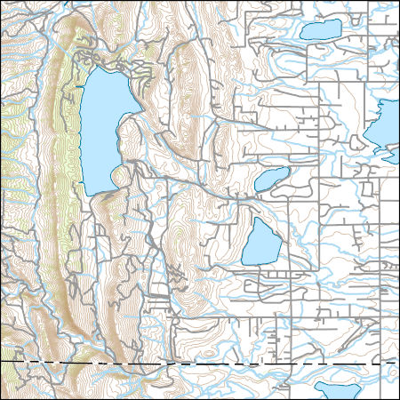
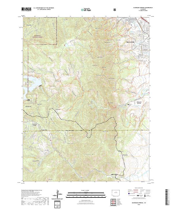
Layers of geospatial data include contours, boundaries, land cover, hydrography, roads, transportation, geographic names, structures, and other selected map features.
USGS Topo Map Vector Data (Vector) 4962 Boulder, Colorado 20220512 for 7.5 x 7.5 minute FileGDB 10.1
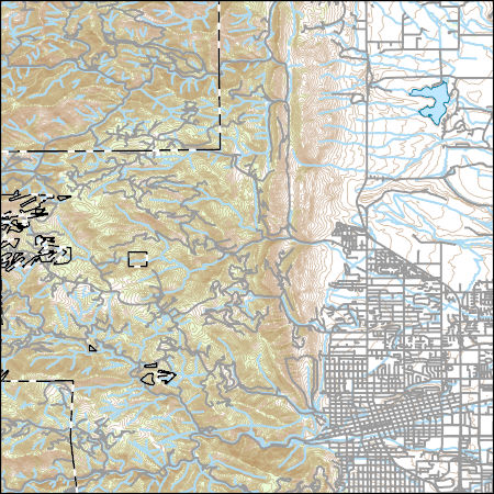
Layers of geospatial data include contours, boundaries, land cover, hydrography, roads, transportation, geographic names, structures, and other selected map features.
Layers of geospatial data include contours, boundaries, land cover, hydrography, roads, transportation, geographic names, structures, and other selected map features.
Layers of geospatial data include contours, boundaries, land cover, hydrography, roads, transportation, geographic names, structures, and other selected map features.
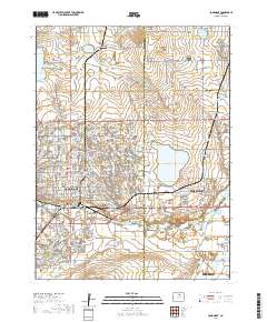
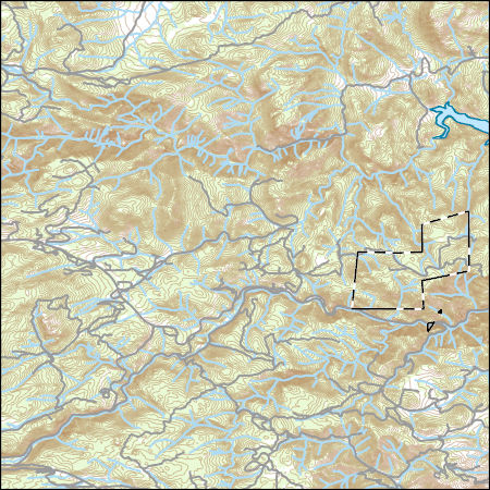
Layered geospatial PDF 7.5 Minute Quadrangle Map. Layers of geospatial data include orthoimagery, roads, grids, geographic names, elevation contours, hydrography, and other selected map features. This map is derived from GIS (geospatial information system) data. It represents a repackaging of GIS data in traditional map form, not creation of new information. The geospatial data in this map are from selected National Map data holdings and other government sources.
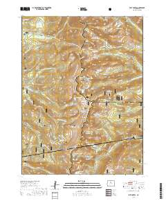
Layered geospatial PDF 7.5 Minute Quadrangle Map. Layers of geospatial data include orthoimagery, roads, grids, geographic names, elevation contours, hydrography, and other selected map features. This map is derived from GIS (geospatial information system) data. It represents a repackaging of GIS data in traditional map form, not creation of new information. The geospatial data in this map are from selected National Map data holdings and other government sources.
Layered geospatial PDF 7.5 Minute Quadrangle Map. Layers of geospatial data include orthoimagery, roads, grids, geographic names, elevation contours, hydrography, and other selected map features. This map is derived from GIS (geospatial information system) data. It represents a repackaging of GIS data in traditional map form, not creation of new information. The geospatial data in this map are from selected National Map data holdings and other government sources.
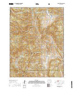
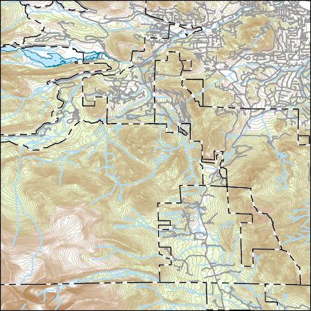
Layered geospatial PDF 7.5 Minute Quadrangle Map. Layers of geospatial data include orthoimagery, roads, grids, geographic names, elevation contours, hydrography, and other selected map features. This map is derived from GIS (geospatial information system) data. It represents a repackaging of GIS data in traditional map form, not creation of new information. The geospatial data in this map are from selected National Map data holdings and other government sources.
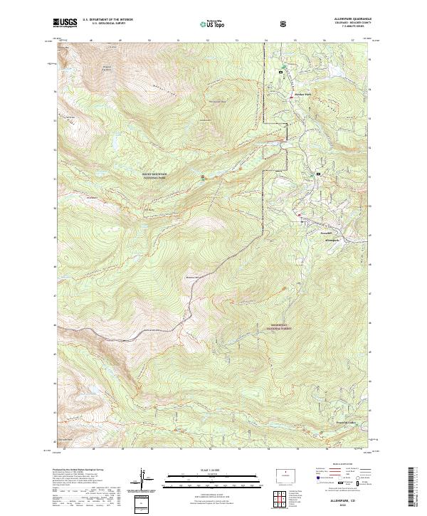
Layered geospatial PDF 7.5 Minute Quadrangle Map. Layers of geospatial data include orthoimagery, roads, grids, geographic names, elevation contours, hydrography, and other selected map features. This map is derived from GIS (geospatial information system) data. It represents a repackaging of GIS data in traditional map form, not creation of new information. The geospatial data in this map are from selected National Map data holdings and other government sources.
|