Filters: Tags: Cave Creek (X)
20 results (46ms)|
Filters
Date Range
Contacts
Categories Tag Types
|
This is a geochemical data set from the reanalysis of 44 rock samples collected between 1966 and 1970, and 107 sediment samples collected in 1966 and 1967. These samples were collected by the U.S. Geological Survey for a study investigating the mineral resources of the Idaho Primitive Area (Cater et al., 1973). The samples are from the Lower Middle Fork of the Salmon River, including the tributaries of Big Creek, Camas Creek, Brush Creek, Wilson Creek, Waterfall Creek, Ship Island Creek, Reese Creek, Stoddard Creek, and Papoose Creek. The overall objective of this study is to characterize the regional impact of legacy mining for the Frank Church River of No Return Wilderness Area. Mary P. Rossillon (1981) explored...
Categories: Data;
Tags: Annie Creek,
Atomic absorption analysis,
Atomic emission spectroscopy,
Beaver Creek,
Big Creek,
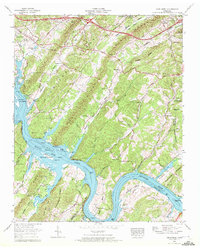
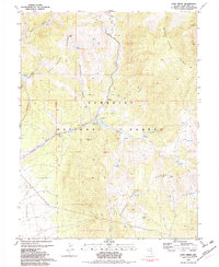
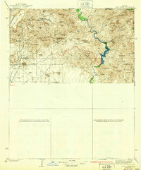
USGS Historical Quadrangle in GeoPDF.
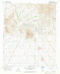
USGS Historical Quadrangle in GeoPDF.
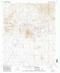
USGS Historical Quadrangle in GeoPDF.
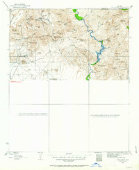
USGS Historical Quadrangle in GeoPDF.
This location is part of the Arizona Mineral Industry Location System (AzMILS), an inventory of mineral occurences, prospects and mine locations in Arizona. Cochise116 is located in T23S R20E Sec 33 SW in the Miller Peak - 7.5 Min quad. This collection consists of various reports, maps, records and related materials acquired by the Arizona Department of Mines and Mineral Resources regarding mining properties in Arizona. Information was obtained by various means, including the property owners, exploration companies, consultants, verbal interviews, field visits, newspapers and publications. Some sections may be redacted for copyright. Please see the access statement.
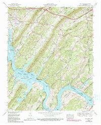
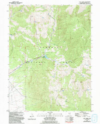
USGS Historical Quadrangle in GeoPDF.

USGS Historical Quadrangle in GeoPDF.
These data were compiled for the U.S. Fish and Wildlife Service to assist them with updating the current status of the species Bartram's Stonecrop (Graptopetalum bartramii). Objective(s) of our study were to survey selected sites within the of Bartram's Stonecrop for future management and protection. These data represent summary population counts at selected known sites for the Federally listed Threatened plant species, Bartram's Stonecrop (Graptopetalum bartramii). These data were collected in the southern Arizona portion of the species' range, stratified across Sky Island Mountain ranges from the Rincon Mountains south to the Atascosa Highlands, just north of the Mexican border. Sites were selected to represent...
Categories: Data;
Tags: Adobe Canyon,
Alamo Canyon,
Arizona,
Atascosa Highlands,
Atascosa Mountains,
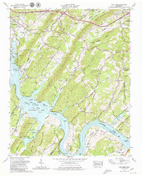
USGS Historical Quadrangle in GeoPDF.

USGS Historical Quadrangle in GeoPDF.
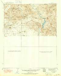
USGS Historical Quadrangle in GeoPDF.

USGS Historical Quadrangle in GeoPDF.

USGS Historical Quadrangle in GeoPDF.
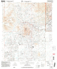
USGS Historical Quadrangle in GeoPDF.
USGS Historical Quadrangle in GeoPDF.
USGS Historical Quadrangle in GeoPDF.
USGS Historical Quadrangle in GeoPDF.
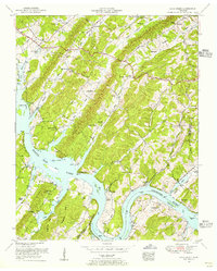
USGS Historical Quadrangle in GeoPDF.
USGS Historical Quadrangle in GeoPDF.
|

|
