Filters: Tags: Centerville (X)
42 results (34ms)|
Filters
Date Range
Contacts
Categories Tag Types Tag Schemes
|
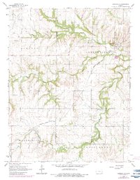
USGS Historical Quadrangle in GeoPDF.
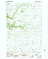
USGS Historical Quadrangle in GeoPDF.
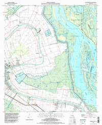
USGS Historical Quadrangle in GeoPDF.
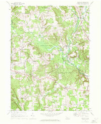
USGS Historical Quadrangle in GeoPDF.

USGS Historical Quadrangle in GeoPDF.
USGS Historical Quadrangle in GeoPDF.
USGS Historical Quadrangle in GeoPDF.
USGS Historical Quadrangle in GeoPDF.
USGS Historical Quadrangle in GeoPDF.
USGS Historical Quadrangle in GeoPDF.

USGS Historical Quadrangle in GeoPDF.

USGS Historical Quadrangle in GeoPDF.
USGS Historical Quadrangle in GeoPDF.
USGS Historical Quadrangle in GeoPDF.
This U.S. Geological Survey (USGS) data release provides a comprehensive dataset of water-quality results, physical-parameter measurements, hydrologic measurements, and site information collected to study the nature and extent of water quality along groundwater flow paths adjacent to glacial-kettle lakes on Cape Cod, Massachusetts. Water-quality samples were collected in 2003, 2005, and 2012 through 2018 in and near seven kettle lakes located on western Cape Cod, with most of the data collected in 2015-2017 from Ashumet Pond, which is located in the towns of Falmouth and Mashpee. Data were also collected at other lakes to compare the lake-specific influences of geochemistry and hydrology on the downgradient groundwater...
USGS Historical Quadrangle in GeoPDF.
USGS Historical Quadrangle in GeoPDF.
USGS Historical Quadrangle in GeoPDF.
USGS Historical Quadrangle in GeoPDF.
USGS Historical Quadrangle in GeoPDF.
|

|
