Filters: Tags: DOT (X)
11 results (284ms)|
Filters
Date Range
Types Contacts
Categories Tag Types Tag Schemes
|

This map layer consists of federally owned or administered lands of the United States, Puerto Rico, and the U.S. Virgin Islands. For the most part, only areas of 320 acres or more are included; some smaller areas deemed to be important or significant are also included. There may be private inholdings within the boundaries of Federal lands in this map layer. Some established Federal lands which are larger than 320 acres are not included in this map layer, because their boundaries were not available from the owning or administering agency.
Wyoming Department of Transportation, the Wyoming road report map.
Categories: Data;
Types: Application;
Tags: DOT,
State Government,
Wyoming Department of Transportation,
economy,
road,
Wyoming Department of Transportation GIS Map Viewer.
Categories: Data;
Types: Application;
Tags: DOT,
State Government,
Wyoming Department of Transportation,
economy,
road,
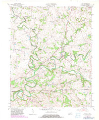
USGS Historical Quadrangle in GeoPDF.
This Story Map Journal discusses broad-scale data available for various natural resource topics. Links to download broad-scale data are provided in the discussion text. The interactive web maps depict examples of broad-scale data made publicly available and served by the various organizational owners of the data.
Types: Map Service;
Tags: Aerial,
Air Quality,
BISON,
BLM,
Biodiversity Information Serving Our Nation,
This map layer consists of federally owned or administered lands of the United States, Puerto Rico, and the U.S. Virgin Islands. For the most part, only areas of 320 acres or more are included; some smaller areas deemed to be important or significant are also included. There may be private inholdings within the boundaries of Federal lands in this map layer. Some established Federal lands which are larger than 320 acres are not included in this map layer, because their boundaries were not available from the owning or administering agency.
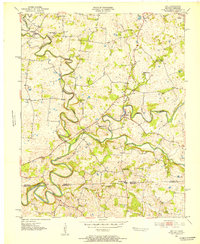
USGS Historical Quadrangle in GeoPDF.
Wyoming Department of Transportation road travel and construction map for Wyoming.
Categories: Data;
Types: Application;
Tags: DOT,
State Government,
Wyoming Department of Transportation,
construction,
transportation,
USGS Historical Quadrangle in GeoPDF.
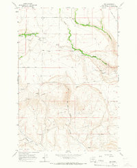
USGS Historical Quadrangle in GeoPDF.
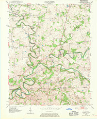
USGS Historical Quadrangle in GeoPDF.
|

|
