Filters: Tags: Darwin (X)
14 results (38ms)|
Filters
Date Range
Types Contacts
Categories Tag Types Tag Schemes |
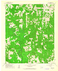
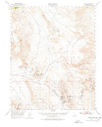
USGS Historical Quadrangle in GeoPDF.
The 'Solero Property' file is part of the Grover Heinrichs mining collection. Grover was the Vice President of Heinrichs GEOEXploration, located in Tucson, Arizona. The collection contains over 1,400 folders including economic geology reports, maps, photos, correspondence, drill logs and other related materials. The focus of much of the information is on the western United States, particularly Arizona, but the collection also includes files on mining activity throughout the United States, foreign countries, and 82 mineral commodities.
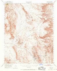
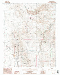
USGS Historical Quadrangle in GeoPDF.
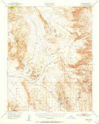
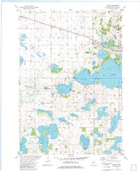
USGS Historical Quadrangle in GeoPDF.
This location is part of the Arizona Mineral Industry Location System (AzMILS), an inventory of mineral occurences, prospects and mine locations in Arizona. SantaCruz86A is located in T21S R14E Sec 24 NE in the Mount Wrightson - 15 Min quad. This collection consists of various reports, maps, records and related materials acquired by the Arizona Department of Mines and Mineral Resources regarding mining properties in Arizona. Information was obtained by various means, including the property owners, exploration companies, consultants, verbal interviews, field visits, newspapers and publications. Some sections may be redacted for copyright. Please see the access statement.
A distant view of the Salero mine showing many buildings.
This zip folder contains ASCII text files of vectors at the specified volcano at 12-hour intervals, from January 1, 1990 through December 28, 2009. The wind vectors are divided into five files, names by their elevation range above sea level in the atmosphere: 00-05km.txt; 05-11km.txt; 11-16km.txt; 16-24km.txt; and 24-30km.txt. The zip folder also contains a subfolder "figures", with Wind rose plots of wind direction and speed over this time period. The plots are by season, and by elevation, given a total of 20 plots (4 seasons, 5 elevation ranges). A summary plot is also included which gives the year-round wind pattern at the volcano, at 0-5 km elevation. Plots are in both jpg and pdf format.
This location is part of the Arizona Mineral Industry Location System (AzMILS), an inventory of mineral occurences, prospects and mine locations in Arizona. Mohave116F is located in T23N R18W Sec 2 NE in the Chloride - 7.5 Min quad. This collection consists of various reports, maps, records and related materials acquired by the Arizona Department of Mines and Mineral Resources regarding mining properties in Arizona. Information was obtained by various means, including the property owners, exploration companies, consultants, verbal interviews, field visits, newspapers and publications. Some sections may be redacted for copyright. Please see the access statement.
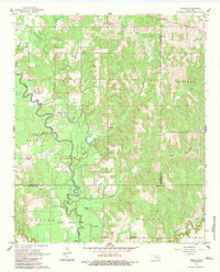
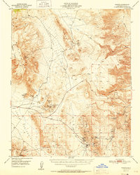
USGS Historical Quadrangle in GeoPDF.

USGS Historical Quadrangle in GeoPDF.
USGS Historical Quadrangle in GeoPDF.
USGS Historical Quadrangle in GeoPDF.
USGS Historical Quadrangle in GeoPDF.
USGS Historical Quadrangle in GeoPDF.
|

|
