Filters: Tags: Fort Bliss (X)
4 results (11ms)|
Filters
Date Range
Contacts
Tag Types Tag Schemes |
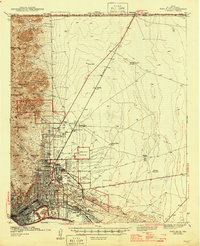
USGS Historical Quadrangle in GeoPDF.
The Transboundary Aquifer Assessment Act was established to systematically assess priority aquifers along the U.S.-Mexico international boundary. The priority aquifers that were specified include the Hueco-Mesilla Bolsons aquifer in Texas and New Mexico and its counterpart in Mexico, the Conejos-Medanos Aquifer system, and the Santa Cruz and San Pedro aquifers in Arizona (Texas Water Development Board, 2019). The Transboundary Aquifer Assessment Program (TAAP) was started in 2009 and is a collaborative effort between the U.S. Geological Survey, Arizona Water Resources Research Center, New Mexico Water Resources Research Institute, and the Texas Water Resources Institute (U.S. Geological Survey, 2018) to better understand...
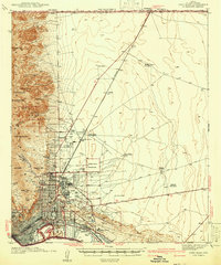
USGS Historical Quadrangle in GeoPDF.
Declining groundwater levels in the Hueco Bolson have raised concerns about the amount of available groundwater and the potential for water-quality changes. Fresh groundwater stored in the aquifer is bordered by regions of brackish-to-saline groundwater, and as the water levels in the Hueco Bolson have declined the local and regional hydraulic gradients have been altered such that the brackish-to-saline groundwater regions have encroached upon and degraded the quality of the freshwater zones (Hibbs 1999; Heywood and Yager, 2003). To help delineate the freshwater and saline groundwater transition zone, 20 time-domain electromagnetic soundings were collected to provide resistivity structure data in the area. This...
|

|
