Filters
Date Range
Extensions
Types
Contacts
Categories
Tag Types
Tag Schemes
|

This dataset contains thespecies richness (total number of CEs) value for each 5th level HUC was calculated using the fine-filter. CE richness for the terrestrial EI was calculated by summing the number of fine-filter terrestrial CEs occurring in each HUC based on the distribution outputs used for the fine-filter CE analysis. These species included the grizzly bear, greater sage-grouse (GRSG), golden eagle, mule deer, elk, bighorn sheep, Canada lynx, American marten, and the wolverine CEs in the Middle Rockies ecoregion.
Types: Downloadable;
Tags: BLM,
Bureau of Land Management,
DOI,
Geospatial,
Middle Rockies Ecoregion, All tags...
NWP 2011,
Northwestern Plains,
REA,
Rapid Ecoregional Assessment,
Vegetation,
Wildlife,
biota,
golden,
greater sage-grouse (GRSG),
grizzly bear, Fewer tags
USGS Historical Quadrangle in GeoPDF.
Tags: 7.5 x 7.5 minute,
Downloadable Data,
GeoPDF,
GeoTIFF,
Golden, All tags...
Historical Topographic Maps,
Historical Topographic Maps 7.5 x 7.5 Minute Map Series,
ID,
Map,
imageryBaseMapsEarthCover, Fewer tags
USGS Historical Quadrangle in GeoPDF.
Tags: 7.5 x 7.5 minute,
CO,
Downloadable Data,
GeoPDF,
GeoTIFF, All tags...
Golden,
Historical Topographic Maps,
Historical Topographic Maps 7.5 x 7.5 Minute Map Series,
Map,
imageryBaseMapsEarthCover, Fewer tags
USGS Historical Quadrangle in GeoPDF.
Tags: 7.5 x 7.5 minute,
Downloadable Data,
GeoPDF,
GeoTIFF,
Golden, All tags...
Historical Topographic Maps,
Historical Topographic Maps 7.5 x 7.5 Minute Map Series,
Map,
OR,
imageryBaseMapsEarthCover, Fewer tags

This digital map shows the areal extent of surficial deposits and rock stratigraphic units (formations) as compiled by Trimble and Machette from 1973 to 1977 and published in 1979 under the Front Range Urban Corridor Geology Program. Trimble and Machette compiled their geologic map from published geologic maps and unpublished geologic mapping having varied map unit schemes. A convenient feature of the compiled map is its uniform classification of geologic units that mostly matches those of companion maps to the north (USGS I-855-G) and to the south (USGS I-857-F). Published as a color paper map, the Trimble and Machette map was intended for land-use planning in the Front Range Urban Corridor. This map recently (1997-1999)...
Tags: Adams County,
Arapahoe County,
Arapahoe Formation,
Colorado,
Colorado Front Range, All tags...
Colorado Piedmont,
Cretaceous rocks,
Dawson Formation,
Denver,
Denver County,
Denver Creek granodiorite,
Denver Formation,
Douglas County,
Economic Geology,
Elbert County,
Front Range Urban Corridor,
GeMS,
Geography,
Geologic Map Schema,
Geologic map,
Glaciology,
Golden,
Golden Fault,
Jefferson County,
Land Use Change,
Mineral Resources,
NCGMP,
NGS,
National Cooperative Geologic Mapping Program,
National Geologic Synthesis Project,
Oligocene bedrock,
Paleocene bedrock,
Paleozoic rocks,
Pierre Shale,
Precambrian rocks,
Quaternary deposits,
Silver Plume quartz monzonite,
Stratigraphy,
Structural Geology,
US GeoFramework Initiative,
USA,
USGI,
USGS Science Data Catalog (SDC),
United States of America,
Wall Mountain Tuff,
aggregate,
alluvial gravel,
eolian sand,
geologic hazard,
land-use planning,
landslide deposit,
mine subsidence,
urban growth,
urban zoning,
windblown sand, Fewer tags

This is a catalog of precise relocations of earthquakes surrounding the 2022 Hunga Tonga-Hunga Ha-apai Volcanic Eruption. These were generated using using surface-wave double-difference measurements, and relative magnitudes were computed between events. For details of the methodology used to produce this catalog, and the interpretation of these data, see the Seismological Research Letter publication "High-Precision Characterization of Seismicity from the 2022 Hunga Tonga-Hunga Ha-apai Volcanic Eruption". Locations use the WGS 1984 Datum. One comma-separated table is provided in this data release, relocations.csv, which is a summary of the relocation magnitude analysis. It includes 18 columns: Column 1 (time):...
USGS Historical Quadrangle in GeoPDF.
Tags: 7.5 x 7.5 minute,
CO,
Downloadable Data,
GeoPDF,
GeoTIFF, All tags...
Golden,
Historical Topographic Maps,
Historical Topographic Maps 7.5 x 7.5 Minute Map Series,
Map,
imageryBaseMapsEarthCover, Fewer tags
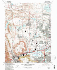
USGS Historical Quadrangle in GeoPDF.
Tags: 7.5 x 7.5 minute,
CO,
Downloadable Data,
GeoPDF,
GeoTIFF, All tags...
Golden,
Historical Topographic Maps,
Historical Topographic Maps 7.5 x 7.5 Minute Map Series,
Map,
imageryBaseMapsEarthCover, Fewer tags
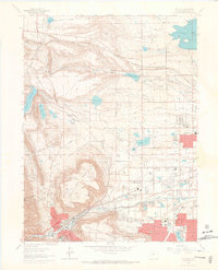
USGS Historical Quadrangle in GeoPDF.
Tags: 7.5 x 7.5 minute,
CO,
Downloadable Data,
GeoPDF,
GeoTIFF, All tags...
Golden,
Historical Topographic Maps,
Historical Topographic Maps 7.5 x 7.5 Minute Map Series,
Map,
imageryBaseMapsEarthCover, Fewer tags
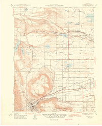
USGS Historical Quadrangle in GeoPDF.
Tags: 7.5 x 7.5 minute,
CO,
Downloadable Data,
GeoPDF,
GeoTIFF, All tags...
Golden,
Historical Topographic Maps,
Historical Topographic Maps 7.5 x 7.5 Minute Map Series,
Map,
imageryBaseMapsEarthCover, Fewer tags
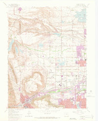
USGS Historical Quadrangle in GeoPDF.
Tags: 7.5 x 7.5 minute,
CO,
Downloadable Data,
GeoPDF,
GeoTIFF, All tags...
Golden,
Historical Topographic Maps,
Historical Topographic Maps 7.5 x 7.5 Minute Map Series,
Map,
imageryBaseMapsEarthCover, Fewer tags
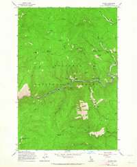
USGS Historical Quadrangle in GeoPDF.
Tags: 7.5 x 7.5 minute,
Downloadable Data,
GeoPDF,
GeoTIFF,
Golden, All tags...
Historical Topographic Maps,
Historical Topographic Maps 7.5 x 7.5 Minute Map Series,
ID,
Map,
imageryBaseMapsEarthCover, Fewer tags
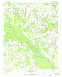
USGS Historical Quadrangle in GeoPDF.
Tags: 7.5 x 7.5 minute,
Downloadable Data,
GeoPDF,
GeoTIFF,
Golden, All tags...
Historical Topographic Maps,
Historical Topographic Maps 7.5 x 7.5 Minute Map Series,
Map,
TX,
imageryBaseMapsEarthCover, Fewer tags
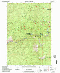
USGS Historical Quadrangle in GeoPDF.
Tags: 7.5 x 7.5 minute,
Downloadable Data,
GeoPDF,
GeoTIFF,
Golden, All tags...
Historical Topographic Maps,
Historical Topographic Maps 7.5 x 7.5 Minute Map Series,
ID,
Map,
imageryBaseMapsEarthCover, Fewer tags
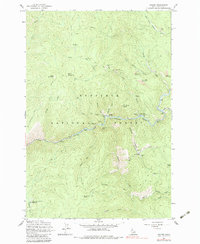
USGS Historical Quadrangle in GeoPDF.
Tags: 7.5 x 7.5 minute,
Downloadable Data,
GeoPDF,
GeoTIFF,
Golden, All tags...
Historical Topographic Maps,
Historical Topographic Maps 7.5 x 7.5 Minute Map Series,
ID,
Map,
imageryBaseMapsEarthCover, Fewer tags
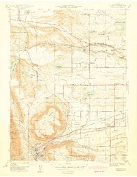
USGS Historical Quadrangle in GeoPDF.
Tags: 7.5 x 7.5 minute,
CO,
Downloadable Data,
GeoPDF,
GeoTIFF, All tags...
Golden,
Historical Topographic Maps,
Historical Topographic Maps 7.5 x 7.5 Minute Map Series,
Map,
Preliminary,
imageryBaseMapsEarthCover, Fewer tags
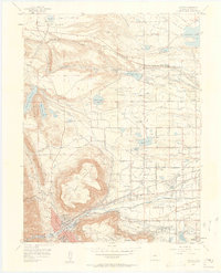
USGS Historical Quadrangle in GeoPDF.
Tags: 7.5 x 7.5 minute,
CO,
Downloadable Data,
GeoPDF,
GeoTIFF, All tags...
Golden,
Historical Topographic Maps,
Historical Topographic Maps 7.5 x 7.5 Minute Map Series,
Map,
imageryBaseMapsEarthCover, Fewer tags
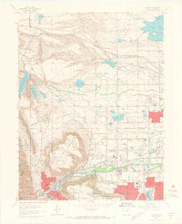
USGS Historical Quadrangle in GeoPDF.
Tags: 7.5 x 7.5 minute,
CO,
Downloadable Data,
GeoPDF,
GeoTIFF, All tags...
Golden,
Historical Topographic Maps,
Historical Topographic Maps 7.5 x 7.5 Minute Map Series,
Map,
imageryBaseMapsEarthCover, Fewer tags
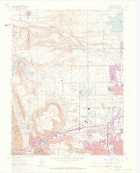
USGS Historical Quadrangle in GeoPDF.
Tags: 7.5 x 7.5 minute,
CO,
Downloadable Data,
GeoPDF,
GeoTIFF, All tags...
Golden,
Historical Topographic Maps,
Historical Topographic Maps 7.5 x 7.5 Minute Map Series,
Map,
imageryBaseMapsEarthCover, Fewer tags

This three-dimensional (3D) seismic velocity model includes a detailed domain covering the greater San Francisco Bay urban region and a regional domain at a coarser resolution covering a larger region. Version 21.0 is a re-release of v08.3.0 in a new storage scheme. The model was constructed by assigning elastic properties (density, Vp, Vs, Qp, and Qs) to grids of points based on the geologic unit and depth from the ground surface. The model is stored in HDF5 files using the GeoModelGrids (https://geomodelgrids.readthedocs.io) storage scheme (see the README.md file for an overview). GeoModelGrids provides a high-level interface for accessing the model. The model can also be accessed using the HDF5 application programming...
Tags: California,
GHSC,
Geophysics,
Golden,
San Francisco Bay, All tags...
Seismology,
USGS,
USGS Science Data Catalog (SDC),
earthquake,
earthquake hazards,
elastic properties,
epicenter,
plate tectonics,
seismic,
seismic velocity model,
three dimensional model, Fewer tags
|
|
