Filters: Tags: Goose Lake (X)
18 results (115ms)|
Filters
Date Range
Extensions Types
Contacts
Categories Tag Types Tag Schemes |
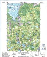
USGS Historical Quadrangle in GeoPDF.
USGS Historical Quadrangle in GeoPDF.
USGS Historical Quadrangle in GeoPDF.
Shallow subsurface electrical conductivity was mapped at selected U.S. Fish and Wildlife Service managed lands in northeast Montana and northwest North Dakota using the DUALEM421 electromagnetic sensor (Dualem, Inc., ON, Canada) in the winters of 2017 and 2018. Data were acquired by towing the DUALEM421 sensor on a sled behind an all-terrain vehicle or snow machine, with the sensor at a nominal height of 0.3 meters (m) above ground surface. Approximately 427 line-kilometers (km) of data were acquired over an area of nearly 26 square-kilometers. Data were manually edited to remove sensor dropouts, lag corrected for apparent offsets between recorded GPS location and data locations for each coil pair, and averaged...
Categories: Data;
Types: ArcGIS REST Map Service,
ArcGIS Service Definition,
Downloadable,
Map Service,
OGC WFS Layer,
OGC WMS Layer,
Shapefile;
Tags: Anderson,
Beaver Lake,
Bigslough,
Divide County, ND,
Dog Leg,

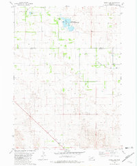
USGS Historical Quadrangle in GeoPDF.
USGS Historical Quadrangle in GeoPDF.
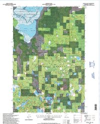
Shallow subsurface electrical conductivity was mapped at Goose Lake National Wildlife Refuge (NWR) in northeast Montana using the DUALEM421 electromagnetic sensor (Dualem, Inc., ON, Canada) in the winter of 2017. Data were acquired by towing the DUALEM421 sensor on a sled behind an all-terrain vehicle or snow machine, with the sensor at a nominal height of 0.3 meters (m) above ground surface. Approximately 15 line-kilometers (km) of data were acquired over an area of approximately 1 square-kilometer. Data were manually edited to remove sensor dropouts, lag corrected for apparent offsets between recorded GPS location and data locations for each coil pair, and averaged to a sounding distance of 1m along the survey...
Categories: Data;
Types: Downloadable,
Map Service,
OGC WFS Layer,
OGC WMS Layer,
Shapefile;
Tags: GGGSC,
Geology, Geophysics, and Geochemistry Science Center,
Goose Lake,
Montana,
NOROCK,
USGS Historical Quadrangle in GeoPDF.
USGS Historical Quadrangle in GeoPDF.
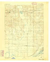
USGS Historical Quadrangle in GeoPDF.
USGS Historical Quadrangle in GeoPDF.
USGS Historical Quadrangle in GeoPDF.
USGS Historical Quadrangle in GeoPDF.
We compiled electrofishing and habitat data sampled from 1990 to 2019 in the Harney Basin by the US Geological Survey (USGS), Oregon Department of Fish and Wildlife (ODFW) and the High Desert Partnership (HDP) to describe native and non-native fish distributions and their habitat associations. USGS collected eDNA data in 2019 to refine the known distributions of common carp (Cyprinus carpio). Site transect length, channel width, depth, and gradient were recorded concurrently with fish sampling. Site elevation was derived from statewide digital elevation models (DEM). We used Tableau, a visualization platform, to display fish distributions in the Harney Basin. This data release supersedes Laramie, M.B., Mejia, F.H.,...
Categories: Data,
Data Release - Revised;
Tags: Aquatic Biology,
Catlow Valley,
Chewaucan,
Ecology,
Fort Rock,
USGS Historical Quadrangle in GeoPDF.
USGS Historical Quadrangle in GeoPDF.
USGS Historical Quadrangle in GeoPDF.
USGS Historical Quadrangle in GeoPDF.
|

|
