Filters: Tags: Granite Mountain (X)
11 results (195ms)|
Filters
|
In 2006-2007, Alaska Division of Geological & Geophysical Surveys (DGGS) geologists traversed and collected rock samples from ridges on the north side of Granite Mountain in the Mount Hayes D-3 Quadrangle to supplement existing literature with additional details about the variations in texture, lithology and orientation of the 'Granite of Granite Mountain' (map unit grgm) described by Nokleberg and others (1992). The digital data files for this report provide station locations and observations recorded in the geologists' field notes. Outcrop observations describe fine- to medium-grained granodiorite and medium- to coarse-grained tonalite units which appear to be in contact with each other on the ridges north of...
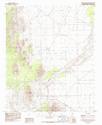
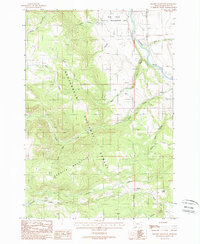
USGS Historical Quadrangle in GeoPDF.
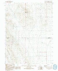
USGS Historical Quadrangle in GeoPDF.
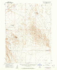
USGS Historical Quadrangle in GeoPDF.
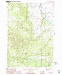
USGS Historical Quadrangle in GeoPDF.
USGS Historical Quadrangle in GeoPDF.
40Ar/39Ar data from seven plutonic samples and one metamorphic sample collected during mineral assessment studies in 1991 show that various rock units in the Selawik Hills plutonic complex were emplaced in the order syenite/monzonite (nonfoliated, 106.6 ± 0.8 Ma; foliated, 101.7 ± 0.7 Ma; both on hornblende), followed by nepheline syenite (103.7 ± 0.8 Ma on hornblende) and then quartz monzonite (100.4 ± 3.7 Ma on biotite). 40Ar/39Ar data from Granite Mountain hornblendes yielded ages slightly older, but overlapping, those from Selawik Hills. In this suite, the silica-undersaturated phase appears to be younger (105.7 ±0.8 Ma) than the silica-saturated phase(s) (106.8 ± 0.8 Ma and 107.1 ± 0.8 Ma).
USGS Historical Quadrangle in GeoPDF.
USGS Historical Quadrangle in GeoPDF.
USGS Historical Quadrangle in GeoPDF.
USGS Historical Quadrangle in GeoPDF.
|

|
