Filters: Tags: Hazleton (X)
23 results (152ms)|
Filters
Date Range
Contacts
Categories Tag Types Tag Schemes |
This U.S. Geological Survey (USGS) data release contains the data used in the USGS Scientific Investigations Report 2018-5053 entitled "An exploratory Bayesian network for estimating the magnitudes and uncertainties of selected water-quality parameters at streamgage 03374100 White River at Hazleton, Indiana, from partially observed data." The four datasets, which contain only ASCII characters in a column-oriented format, are: (1) sel_qw_parm_full_time_series.csv: A comma-delimited file containing an irregular time series of 713 rows of discrete water-quality measurements that start on February 21, 1973 and end on September 14, 2016. (2) baye_network_initialize.cas: This tab-delimited file can be used to initialize...
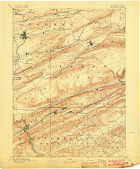
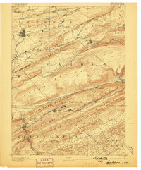
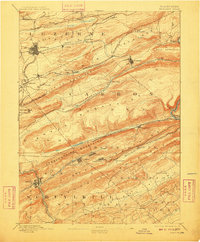
USGS Historical Quadrangle in GeoPDF.
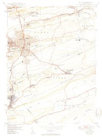
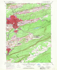
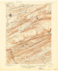
USGS Historical Quadrangle in GeoPDF.
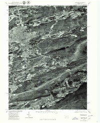
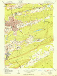
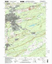
USGS Historical Quadrangle in GeoPDF.
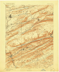
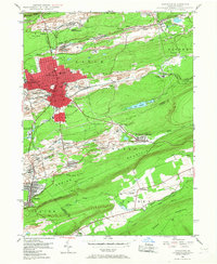
USGS Historical Quadrangle in GeoPDF.
USGS Historical Quadrangle in GeoPDF.

USGS Historical Quadrangle in GeoPDF.
USGS Historical Quadrangle in GeoPDF.

USGS Historical Quadrangle in GeoPDF.
USGS Historical Quadrangle in GeoPDF.
USGS Historical Quadrangle in GeoPDF.
USGS Historical Quadrangle in GeoPDF.
The Wetland Reserve Program (WRP) is a voluntary program administered by the NRCS. It provides technical and financial assistance to private landowners and Tribes to restore, protect, and enhance wetlands in exchange for retiring eligible land from agriculture. For a site to be a wetland eligible for restoration, it must be in a zone with sustained or frequent flooding for a period of 7 consecutive days on average at least once every 2 years (a value termed the 7MQ2). This study calculated the 7MQ2 flows for all the U.S. Geological Survey streamgages within the selected study reaches. These flows were related to the stage discharge tables for each streamgage and a corresponding elevation was determined. By use of...
USGS Historical Quadrangle in GeoPDF.

USGS Historical Quadrangle in GeoPDF.
USGS Historical Quadrangle in GeoPDF.
USGS Historical Quadrangle in GeoPDF.
USGS Historical Quadrangle in GeoPDF.
USGS Historical Quadrangle in GeoPDF.
USGS Historical Quadrangle in GeoPDF.
|

|
