Filters: Tags: Healy (X)
14 results (24ms)|
Filters
Date Range
Types Contacts
Tag Types Tag Schemes
|
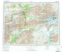
USGS Historical Quadrangle in GeoPDF.

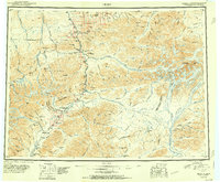
USGS Historical Quadrangle in GeoPDF.
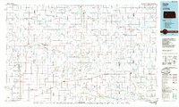
USGS Historical Quadrangle in GeoPDF.
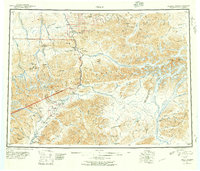
USGS Historical Quadrangle in GeoPDF.

USGS Historical Quadrangle in GeoPDF.
USGS Historical Quadrangle in GeoPDF.
This zip folder contains ASCII text files of vectors at the specified volcano at 12-hour intervals, from January 1, 1990 through December 28, 2009. The wind vectors are divided into five files, names by their elevation range above sea level in the atmosphere: 00-05km.txt; 05-11km.txt; 11-16km.txt; 16-24km.txt; and 24-30km.txt. The zip folder also contains a subfolder "figures", with Wind rose plots of wind direction and speed over this time period. The plots are by season, and by elevation, given a total of 20 plots (4 seasons, 5 elevation ranges). A summary plot is also included which gives the year-round wind pattern at the volcano, at 0-5 km elevation. Plots are in both jpg and pdf format.
USGS Historical Quadrangle in GeoPDF.
USGS Historical Quadrangle in GeoPDF.
USGS Historical Quadrangle in GeoPDF.
USGS Historical Quadrangle in GeoPDF.
USGS Historical Quadrangle in GeoPDF.
USGS Historical Quadrangle in GeoPDF.
The Bonnifield electromagnetic and magnetic airborne geophysical survey data were acquired in 2006 and 2007 with a DIGHEM-V Electromagnetic (EM) system and a cesium magnetometer. The EM and magnetic sensors were flown at a height of 30 meters (m). In addition the survey recorded data from radar and laser altimeters, a GPS navigation system, 50/60 Hz monitors and a video camera. Flights were performed with an AS-350-B3 Squirrel helicopter at a mean terrain clearance of 60 m along N-S survey flight lines with a spacing of 400 m. Tie lines were flown perpendicular to the flight lines at intervals of approximately 4,800 m for part of the Bonnifield mining district in Interior Alaska. Aeromagnetic and electromagnetic...
|

|
