Filters: Tags: Iron Creek (X)
8 results (48ms)|
Filters
Date Range
Contacts
Tag Types Tag Schemes
|
This publication, GPR 2017-1, provides geophysical data produced from an airborne geophysical survey conducted in 2001 and released in 2002 for 276 sq miles of the Liberty Bell area, western Bonnifield mining district, central Alaska. Aeromagnetic and electromagnetic data were acquired during the survey. During 2016, the same digital data were reformatted for ease of use with modern processing tools; vector shapefiles and the analytic signal and calculated first vertical derivative grids were added. Other than the creation of calculated grids, no new processing was done. Data provided in GPR 2017-1 include processed (1) linedata ASCII databases, (2) gridded files of magnetic and resistivity data, (3) vector files...
Aerial photographs of the coastline from Nome to Elim were collected on August 23, 2015. The photographs were processed using Structure-from-Motion (SfM) photogrammetric techniques. Global Positioning System (GPS) checkpoints were collected via a Global Navigation Satellite System (GNSS) survey conducted between August 15 and September 14, 2015. For the purposes of open access to elevation and orthoimagery datasets in coastal regions of Alaska, this collection is being released as a Raw Data File with an open end-user license. This file is a single-band, 32-bit float DSM (digital surface model) which represents surface elevations of buildings, vegetation, and uncovered ground surfaces in meters with 20 cm GSD. The...
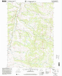
USGS Historical Quadrangle in GeoPDF.
The Alaska Division of Geological & Geophysical Surveys (DGGS), in partnership with the U.S. National Cooperative Geologic Mapping Program, mapped approximately 450 mi2 of the Talkeetna Mountains region of central Alaska at 1:50,000 scale over the course of six weeks in 2014. This area contains significant exposures of Late Triassic mafic volcanics and gabbro sills that have been the focus of region-wide exploration for the Strategic and Critical platinum-group elements (PGEs). The area also exposes numerous inactive and possibly active faults which project through the area of proposed hydropower development. The resulting geologic map offers an improved understanding of the geology, structural history, and mineral...
Aerial photographs of the coastline from Nome to Elim were collected on August 23, 2015. The photographs were processed using Structure-from-Motion (SfM) photogrammetric techniques. Global Positioning System (GPS) checkpoints were collected via a Global Navigation Satellite System (GNSS) survey conducted between August 15 and September 14, 2015. For the purposes of open access to elevation and orthoimagery datasets in coastal regions of Alaska, this collection is being released as a Raw Data File with an open end-user license. Orthoimages contain 4-band, 8-bit, unsigned raster data (red/green/blue/no data; file format-GeoTIFF; source-Fairbanks Fodar) with 20 cm GSD. No-data values are found in band 4 or shown as...
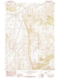
USGS Historical Quadrangle in GeoPDF.
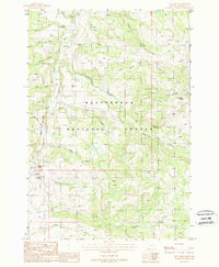
USGS Historical Quadrangle in GeoPDF.
The mineral-resources group from the Alaska Division of Geological & Geophysical Surveys (DGGS) carried out a geologic mapping project in the Talkeetna Mountains C-4, C-3, and B-4 quadrangles from July 23 through August 3, 2014. This project is a part of a multi-year project focusing on improving the publicly-available geological and geochemical data and assessing the mineral potential of the less-explored extension of the western Wrangellia terrane. This program of geologic mapping and rock sampling was conducted as part of the U.S. Geological Survey National Cooperative Geologic Mapping Program and the state of Alaska's Strategic Minerals Assessment project, an initiative designed to evaluate Alaska's potential...
|

|
