Filters: Tags: Ironton (X)
40 results (13ms)|
Filters
Date Range
Extensions Types Contacts
Categories Tag Types Tag Schemes |

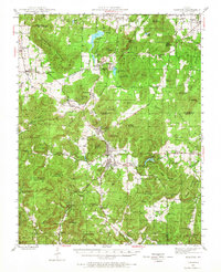
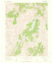
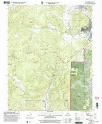
USGS Historical Quadrangle in GeoPDF.
This publication provides digital flight line data for a high-resolution horizontal magnetic gradient and radiometric survey over an area of southeast Missouri and western Illinois. The survey represents the first airborne geophysical survey conducted as part of the U.S. Geological Survey (USGS) Earth Mapping Resource Initiative (Earth MRI) effort (Day, 2019). Earth MRI is a cooperative effort between the USGS, the Association of American State Geologists, and other Federal, State, and private sector organizations to improve our knowledge of the geologic framework of the United States. Data for this survey were collected by Terraquest, Ltd. under contract with the USGS using a fixed wing aircraft with magnetometers...
Categories: Data;
Types: Downloadable,
Map Service,
OGC WFS Layer,
OGC WMS Layer,
Shapefile;
Tags: Earth Mapping Resources Initiative,
EarthMRI,
GGGSC,
Geology, Geophysics, and Geochemistry Science Center,
Illinois,
USGS Historical Quadrangle in GeoPDF.
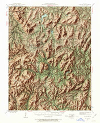
USGS Historical Quadrangle in GeoPDF.
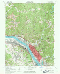
USGS Historical Quadrangle in GeoPDF.
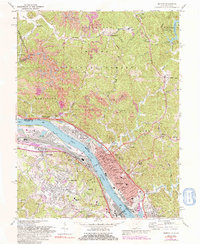
USGS Historical Quadrangle in GeoPDF.
USGS Historical Quadrangle in GeoPDF.
Water-supply lakes are the primary source of water for many communities throughout Missouri. Therefore, accurate and up-to-date estimates of lake capacity are important for managing and predicting adequate water supply. Many of the water supply lakes in Missouri were previously surveyed by the USGS in the early 2000s (Richards, 2013) and in 2013 (Huizinga, 2014); however, years of potential sedimentation may have resulted in reduced water storage capacity. Periodic bathymetric surveys are useful to update the area/capacity table and to determine changes in the bathymetric surface. Snow Hollow Lake is a water-supply lake used by the city of Ironton in southeastern Missouri. The surface area of Snow Hollow Lake is...
USGS Historical Quadrangle in GeoPDF.
USGS Historical Quadrangle in GeoPDF.
USGS Historical Quadrangle in GeoPDF.

USGS Historical Quadrangle in GeoPDF.
USGS Historical Quadrangle in GeoPDF.
USGS Historical Quadrangle in GeoPDF.
USGS Historical Quadrangle in GeoPDF.
USGS Historical Quadrangle in GeoPDF.
This publication provides digital flight line data for a high-resolution horizontal magnetic gradient and radiometric survey over the Ironton, Missouri area of southeast Missouri. Data were collected using a fixed wing aircraft with magnetometers mounted in the tail stinger and each wing tip pod and a fully calibrated gamma ray spectrometer. The survey operated out of the Farmington, Missouri airport during January to mid-February of 2016. The survey covers an irregularly shaped region within a 54 x 53 square-kilometer area centered on the town of Ironton, Missouri. Data were collected along north-south flight lines spaced 300 meters (m) apart with east-west tie lines flown every 3000 m. A mean terrain clearance...
Categories: Data;
Types: Citation,
Downloadable,
Map Service,
OGC WFS Layer,
OGC WMS Layer,
OGC WMS Service,
Shapefile;
Tags: CGGSC,
Cedar Hill,
Crustal Geophysics and Geochemistry Science Center,
Iron Mountain,
Ironton,
USGS Historical Quadrangle in GeoPDF.
Water-supply lakes are the primary source of water for many communities throughout Missouri. Therefore, accurate and up-to-date estimates of lake capacity are important for managing and predicting adequate water supply. Many of the water supply lakes in Missouri were previously surveyed by the U.S. Geological Survey (USGS) in the early 2000s (Richards, 2013) and in 2013 (Huizinga, 2014); however, years of potential sedimentation may have resulted in reduced water storage capacity. Periodic bathymetric surveys are useful to update the area/capacity table and to determine changes in the bathymetric surface. Shepherd Mountain Lake is a water-supply lake used by the city of Ironton in southeastern Missouri. The surface...
USGS Historical Quadrangle in GeoPDF.
|

|
