Filters: Tags: Kansas City (X)
61 results (31ms)|
Filters
Date Range
Extensions Types
Contacts
Categories Tag Types Tag Schemes |
These data were collected during a travel time and dissolved oxygen study along a 1-mile reach of the Blue River downstream from 58th Street in Kansas City, Missouri. The study was a cooperative effort between the U.S. Geological Survey (USGS), the U.S. Environmental Protection Agency Urban Waters Federal Partnership program, and the Kansas City, Missouri, Water Services Department. This is part of a larger USGS effort supporting the Middle Blue River Basin Urban Waters Federal Partnership. This data release contains continuous water-quality measurements (Blue_River_CQWM.csv), rhodamine dye sensor data (Blue_River_dye_profiles.csv), analytical data from synoptic water-quality samples (Blue_River_QWDATA.csv), manual...
Categories: Data;
Types: Map Service,
OGC WFS Layer,
OGC WMS Layer,
OGC WMS Service;
Tags: Blue River,
Kansas City,
Missouri,
USGS Science Data Catalog (SDC),
Water Quality,
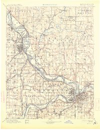
USGS Historical Quadrangle in GeoPDF.
Core Research Center, core E569, from well operated by HOME PETROLEUM CORPRaw Properties from download, web scrape, MapServer, and Macrostrat API{"Lib Num": "E569", "API Num": "3500723036", "Operator": "HOME PETROLEUM CORP", "Well Name": "2-1 GLADYS", "Field": "EAST KNOWLES", "State": "OK", "County": "BEAVER", "Type": "SLABBED", "Photos": "F", "Thin Sec": "F", "Analysis": "F", "Latitude": "36.835399", "Longitude": "-100.210946", "coordinates_geohash": "9y89x9stg8nc", "Source": "FROM STATE RECORDS", "Security Flag": "NO SPECIAL RESTRICTIONS", "crc_collection_name": "core", "sb_parent_id": "4f4e49dae4b07f02db5e0486", "intervals": [{"Formation": "KANSAS CITY", "Age": "PENN", "Min Depth": "5800", "Max Depth": "5848"}],...
Categories: Physical Item;
Tags: KANSAS CITY,
Ogallala Formation,
Ogallala Formation,
PENN,
Pliocene,
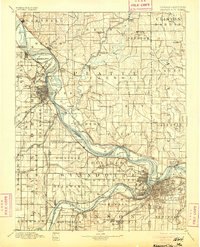
USGS Historical Quadrangle in GeoPDF.
USGS Historical Quadrangle in GeoPDF.
USGS Historical Quadrangle in GeoPDF.
These data are high-resolution bathymetry (riverbed elevation) in ASCII XYZ format, generated from the July 16, 2011, hydrographic and velocimetric survey of the Missouri River near structure 435-105-11.97(235) on Interstate 435 in Kansas City, Missouri, during summer flooding on the Missouri River. Hydrographic data were collected using a high-resolution multibeam echosounder mapping system (MBMS), which consists of a multibeam echosounder (MBES) and an inertial navigation system (INS) mounted on a marine survey vessel. Data were collected as the vessel traversed the river along planned survey lines distributed throughout the reach. Data collection software integrated and stored the depth data from the MBES and...
Digital flood-inundation maps for a 4.46-mile reach of the Blue River near Kansas City, Missouri, were created by the U.S. Geological Survey (USGS) in cooperation with the City of Kansas City, Missouri. The flood-inundation maps, accessed through the USGS Flood Inundation Mapping Program website at http://water.usgs.gov/osw/flood_inundation/ , depict estimates of the spatial extent and depth of flooding corresponding to select-water levels (stages) at the USGS streamgage 06893195 Blue River at Red Bridge Road, Kansas City, Missouri reference streamgage. Near-real-time stage data from the streamgage may be obtained from the USGS National Water Information System database at https://doi.org/10.5066/F7P55KJN. Flood...
Amur honeysuckle bush (Lonicera maackii) and Morrow's honeysuckle (Lonicera morrowii) are two of the most aggressively invasive species to become established throughout areas along the Blue River in metropolitan Kansas City, Missouri. These two large, spreading shrubs (locally referred to as bush honeysuckle in the Kansas City metropolitan area) colonize the understory, crowd out native plants, and may be allelopathic, producing a chemical that restricts growth of native species. Removal efforts have been underway for more than a decade by local conservation groups such as Bridging The Gap and Heartland Conservation Alliance, who are concerned with the loss of native species diversity associated with the spread...
Categories: Data;
Types: Downloadable,
Map Service,
OGC WFS Layer,
OGC WMS Layer,
Shapefile;
Tags: Blue River,
Kansas City,
Missouri,
USGS Science Data Catalog (SDC),
Water Resources,
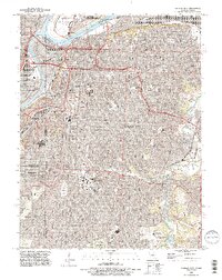
USGS Historical Quadrangle in GeoPDF.
USGS Historical Quadrangle in GeoPDF.
USGS Historical Quadrangle in GeoPDF.
USGS Historical Quadrangle in GeoPDF.
Core Research Center, core S107, from well operated by ANADARKO PRODUCTIONRaw Properties from download, web scrape, MapServer, and Macrostrat API{"Lib Num": "S107", "API Num": "3500722129", "Operator": "ANADARKO PRODUCTION", "Well Name": "A-2 DORMAN", "Field": "E TURPIN", "State": "OK", "County": "BEAVER", "Type": "SLABBED", "Photos": "F", "Thin Sec": "F", "Analysis": "F", "Latitude": "36.890072", "Longitude": "-100.749408", "coordinates_geohash": "9y83g7ss0xu7", "Source": "FROM STATE RECORDS", "Security Flag": "NO SPECIAL RESTRICTIONS", "crc_collection_name": "core", "sb_parent_id": "4f4e49dae4b07f02db5e0486", "intervals": [{"Formation": "KANSAS CITY", "Age": "PENN", "Min Depth": "5233", "Max Depth": "5267"}, {"Formation":...
These data are high-resolution bathymetry (riverbed elevation) and depth-averaged velocities in ASCII format, generated from hydrographic and velocimetric surveys near highway bridge structures over the Missouri River between Kansas City and St. Louis, Missouri, for dates ranging from 2010 to 2017. Hydrographic data were collected using a high-resolution multibeam echosounder mapping system (MBMS), which consists of a multibeam echosounder (MBES) and an inertial navigation system (INS) mounted on a marine survey vessel. Data were collected as the vessel traversed the river along planned survey lines distributed throughout the reach. Data collection software integrated and stored the depth data from the MBES and...
USGS Historical Quadrangle in GeoPDF.
USGS Historical Quadrangle in GeoPDF.
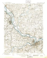
USGS Historical Quadrangle in GeoPDF.
USGS Historical Quadrangle in GeoPDF.
These data are high-resolution bathymetry (riverbed elevation) and depth-averaged velocities in comma-delimited table format, generated from hydrographic and velocimetric surveys near highway bridge structures over the Missouri River between Kansas City and St. Louis, Missouri, May 19–26, 2021. Hydrographic data were collected using a high-resolution multibeam echosounder mapping system (MBMS), which consists of a multibeam echosounder (MBES) and an inertial navigation system (INS) mounted on a marine survey vessel. Data were collected as the vessel traversed the river along planned survey lines distributed throughout the reach. Data collection software integrated and stored the depth data from the MBES and the...
|

|
