Filters: Tags: Las Vegas (X)
37 results (65ms)|
Filters
Date Range
Extensions Types Contacts
Categories Tag Types Tag Schemes |
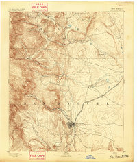
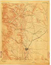
USGS Historical Quadrangle in GeoPDF.

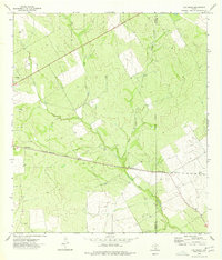
USGS Historical Quadrangle in GeoPDF.
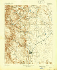
USGS Historical Quadrangle in GeoPDF.
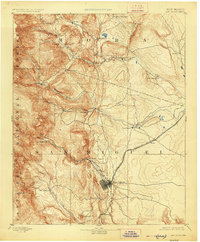
USGS Historical Quadrangle in GeoPDF.

USGS Historical Quadrangle in GeoPDF.
The Spring Mountains are critical habitat for the Spring Mountains mule deer herd in southern Nevada. The Spring Mountains west of Las Vegas, Nevada range in elevation from low meadows at 3,000 ft (910 m) to Charleston Peak at nearly 12,000 ft (3,632 m). Lower elevations are dominated by desert scrub and shrubland transitioning to Yucca brevifolia (Joshua tree) and pinyon-juniper forest at midelevations, with mixed montane conifer including ponderosa pine and Pinus longaeva (bristlecone pine) pine at higher elevations, and sparse alpine grasses and forbs above the tree line. The migratory behavior of the Spring Mountains mule deer herd is variable, with a mix of year-round residents and short-distance elevational...
Categories: Data;
Types: Downloadable,
Map Service,
OGC WFS Layer,
OGC WMS Layer,
Shapefile;
Tags: Las Vegas,
Nevada,
United States,
animal behavior,
biota,

These data were released prior to the October 1, 2016 effective date for the USGS’s policy dictating the review, approval, and release of scientific data as referenced in USGS Survey Manual Chapter 502.8 Fundamental Science Practices: Review and Approval of Scientific Data for Release. Four polygon vector data sets and one related table describe land-cover in Red Rock Canyon National Conservation Area (RRC_NCA_p) and Coyote Springs (CS_ACEC_p), Piute-Eldorado Valley (PEV_ACEC_p), and Mormon Mesa (MM_ACEC_p) Areas of Critical Environmental Concern, Clark County, Nevada. One polygon vector data set per Area is attributed with land- cover at the vegetation stand level (abbreviated with a stand code) and the corresponding...
USGS Historical Quadrangle in GeoPDF.
USGS Historical Quadrangle in GeoPDF.

USGS Historical Quadrangle in GeoPDF.
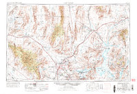
USGS Historical Quadrangle in GeoPDF.
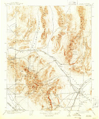
USGS Historical Quadrangle in GeoPDF.
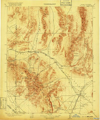
USGS Historical Quadrangle in GeoPDF.
USGS Historical Quadrangle in GeoPDF.

USGS Historical Quadrangle in GeoPDF.
This data release presents the results of analyses of biota and water samples collected on multiple dates from 2007 to 2014 at 3 locations in Lake Mead National Recreation Area. Data are presented in 3 spreadsheets containing sample analyses for (1) stable isotopes in biota (2007-2014), (2) synthetic organic compounds in biota (2013-2014), and (3) synthetic organic compounds in water (2013-2014)
USGS Historical Quadrangle in GeoPDF.
The Spring Mountains are critical habitat for the Spring Mountains mule deer herd in southern Nevada. The Spring Mountains west of Las Vegas, Nevada range in elevation from low meadows at 3,000 ft (910 m) to Charleston Peak at nearly 12,000 ft (3,632 m). Lower elevations are dominated by desert scrub and shrubland transitioning to Yucca brevifolia (Joshua tree) and pinyon-juniper forest at midelevations, with mixed montane conifer including ponderosa pine and Pinus longaeva (bristlecone pine) pine at higher elevations, and sparse alpine grasses and forbs above the tree line. The migratory behavior of the Spring Mountains mule deer herd is variable, with a mix of year-round residents and short-distance elevational...
Categories: Data;
Types: Downloadable,
Map Service,
OGC WFS Layer,
OGC WMS Layer,
Shapefile;
Tags: Las Vegas,
Nevada,
United States,
animal behavior,
biota,
USGS Historical Quadrangle in GeoPDF.
|

|
