Filters: Tags: Limon (X)
17 results (32ms)|
Filters
Date Range
Contacts
Categories Tag Types
|
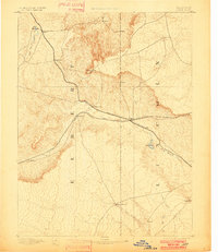
USGS Historical Quadrangle in GeoPDF.

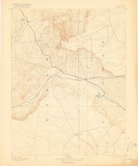
USGS Historical Quadrangle in GeoPDF.
USGS Historical Quadrangle in GeoPDF.

USGS Historical Quadrangle in GeoPDF.

USGS Historical Quadrangle in GeoPDF.
USGS Historical Quadrangle in GeoPDF.
USGS Historical Quadrangle in GeoPDF.
USGS Historical Quadrangle in GeoPDF.
USGS Historical Quadrangle in GeoPDF.
USGS Historical Quadrangle in GeoPDF.

USGS Historical Quadrangle in GeoPDF.
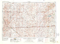
This digital data release contains geospatial geologic and paleontological data of the 1° x2 °, 1:250,000 Limon quadrangle covering eastern Colorado and western Kansas. The dataset is a digital reproduction of previously published U.S. Geological Survey field mapping which illustrates the spatial configuration of primarily Quaternary surficial units overlying upper Miocene, Oligocene, Paleocene, and Upper Cretaceous bedrock (Sharps, 1980). This quadrangle contains numerous outcrop of the Ogallala Formation, which is a prolific freshwater aquifer throughout the broader great plains. A structure contour map of the top of the Dakota Sandstone are included, which was constructed using selected oil and gas well logs...

USGS Historical Quadrangle in GeoPDF.
USGS Historical Quadrangle in GeoPDF.
USGS Historical Quadrangle in GeoPDF.
USGS Historical Quadrangle in GeoPDF.
An important component of assessing the hazards of anticoagulant rodenticides to non-target wildlife are observations in exposed free-ranging individuals. The objective of this study was to determine if environmentally realistic, sublethal first-generation anticoagulant rodenticide exposures via prey, can result in direct or indirect adverse effects to free-flying raptors. We offered black-tailed prairie dogs (Cynomys ludovicianus) that had fed on Rozol® Prairie Dog Bait (0.005% active ingredient chlorophacinone) to six wild-caught red-tailed hawks (RTHA, Buteo jamaicensis), and uncontaminated black-tailed prairie dogs to two wild-caught RTHAs for 7 days. On day 6, blood was collected from all eight RTHAs to determine...
|

|
