Filters: Tags: McGrath (X)
20 results (164ms)|
Filters
Date Range
Types Contacts
Tag Types Tag Schemes |
This polygon feature class describes areas used for subsistence harvesting of brown bear in 2011 by surveyed households in McGrath, Alaska. This is a partial representation of areas used for resource harvesting in 2011.
This polygon feature class describes areas used for subsistence harvesting of black bear in 2011 by surveyed households in McGrath, Alaska. This is a partial representation of areas used for resource harvesting in 2011.
This polygon feature class describes areas used for subsistence harvesting of berries and plants in 2011 by surveyed households in McGrath, Alaska. This is a partial representation of areas used for resource harvesting in 2011.
This map is a compilation of previously unpublished and published data, as well as from updated field mapping. This publication offers a 1:125,000-scale map sheet accompanied by a booklet containing a summary of the geology, a colored terrane map, map unit descriptions, a summary table listing selected mineral deposits and energy resources, references, and a correlation of map units. The text (in the report) describes the geology and resource potential of a highly mineralized region centered in the Farewell silver-lead-zinc district southeast of McGrath. Potentially important coal resources flanking the Alaska Range are also described in the map area.
This points feature class describes areas used for subsistence harvesting of salmon in 2011 by surveyed households in McGrath, Alaska. This is a partial representation of areas used for resource harvesting in 2011.
This polygon feature class describes areas used for subsistence harvesting of ptarmigan and grouse in 2011 by surveyed households in McGrath, Alaska. This is a partial representation of areas used for resource harvesting in 2011.

USGS Historical Quadrangle in GeoPDF.
This points feature class describes areas used for subsistence harvesting of northern pike in 2011 by surveyed households in McGrath, Alaska. This is a partial representation of areas used for resource harvesting in 2011.
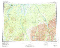
USGS Historical Quadrangle in GeoPDF.
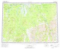
USGS Historical Quadrangle in GeoPDF.
This polygon feature class describes areas used for subsistence harvesting of ducks and geese in 2011 by surveyed households in McGrath, Alaska. This is a partial representation of areas used for resource harvesting in 2011.
This polygon feature class describes areas used for subsistence harvesting of caribou in 2011 by surveyed households in McGrath, Alaska. This is a partial representation of areas used for resource harvesting in 2011.
This feature class describes areas used for subsistence harvesting of beaver in 2011 by surveyed households in McGrath, Alaska. This is a partial representation of areas used for resource harvesting in 2011.
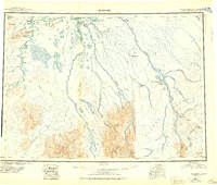
USGS Historical Quadrangle in GeoPDF.
This points feature class describes areas used for subsistence harvesting of sheefish in 2011 by surveyed households in McGrath, Alaska. This is a partial representation of areas used for resource harvesting in 2011.
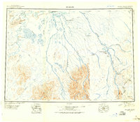
USGS Historical Quadrangle in GeoPDF.
This feature class describes areas used for subsistence harvesting of wolf in 2011 by surveyed households in McGrath, Alaska. This is a partial representation of areas used for resource harvesting in 2011.
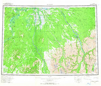
USGS Historical Quadrangle in GeoPDF.
This map illustrates the potential near-surface sources of various geologic materials that may be useful for construction. Field observations indicate that each geologic unit has a definite composition or range of composition wherever that unit is found. Therefore, the presence of materials is interpreted from the distribution of geologic units on the geologic map of this quadrangle. This map is generalized and is not intended to show exact locations of specific materials. The map also addresses some of the principle geologic hazards that may be associated with the deposits based upon their general physical properties and conditions that are characteristic of their depositional environment.
This polygon feature class describes areas used for subsistence harvesting of moose in 2011 by surveyed households in McGrath, Alaska. This is a partial representation of areas used for resource harvesting in 2011.
|

|
