Filters: Tags: Mecca (X)
17 results (19ms)|
Filters
Date Range
Contacts
Categories Tag Types
|
In March 2015, the U.S. Geological Survey acquired seismic reflection and refraction data along an approximately 2.8-km-long profile across northwest-trending San Andreas Fault splays located at the Dos Palmas Preserve east of Salton Sea. To acquire the reflection and refraction data, we collocated shots and geophones, spaced every 3 m along the profile. We used 933 SercelTM L40A P-wave (40-Hz vertical-component) geophones with a sensitivity of 22.34 volts/meter/second to record 925 P-wave shots. We generated P-wave data using one of two active sources: 400-grain Betsy-SeisgunTM shots at approximately every 90 m and a 3.5-kg sledgehammer and steel plate combination at every 3 m between the seisgun shots. All data...
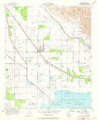
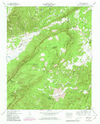
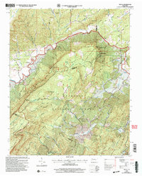
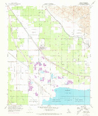
USGS Historical Quadrangle in GeoPDF.
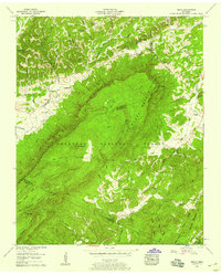
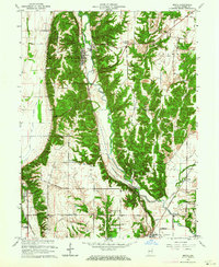
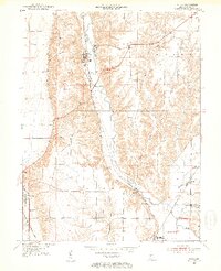
USGS Historical Quadrangle in GeoPDF.

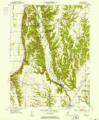
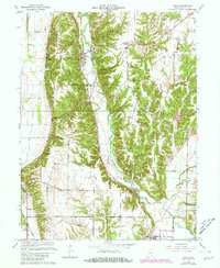
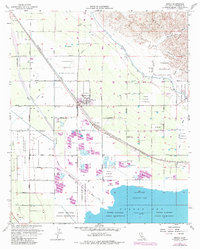
USGS Historical Quadrangle in GeoPDF.
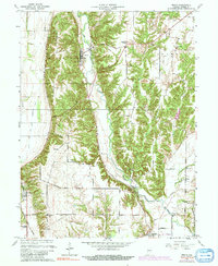
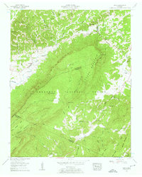
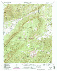
USGS Historical Quadrangle in GeoPDF.

USGS Historical Quadrangle in GeoPDF.
USGS Historical Quadrangle in GeoPDF.
This location is part of the Arizona Mineral Industry Location System (AzMILS), an inventory of mineral occurences, prospects and mine locations in Arizona. Mohave34C is located in T19N R20W Sec 23 S2 in the Oatman - 7.5 Min quad. This collection consists of various reports, maps, records and related materials acquired by the Arizona Department of Mines and Mineral Resources regarding mining properties in Arizona. Information was obtained by various means, including the property owners, exploration companies, consultants, verbal interviews, field visits, newspapers and publications. Some sections may be redacted for copyright. Please see the access statement.
USGS Historical Quadrangle in GeoPDF.
USGS Historical Quadrangle in GeoPDF.
USGS Historical Quadrangle in GeoPDF.
USGS Historical Quadrangle in GeoPDF.
USGS Historical Quadrangle in GeoPDF.
USGS Historical Quadrangle in GeoPDF.
USGS Historical Quadrangle in GeoPDF.
USGS Historical Quadrangle in GeoPDF.
USGS Historical Quadrangle in GeoPDF.
|

|
