Filters: Tags: Medicine Lake (X)
17 results (133ms)|
Filters
Date Range
Extensions Types Contacts
Categories Tag Types Tag Schemes |
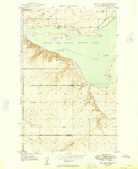
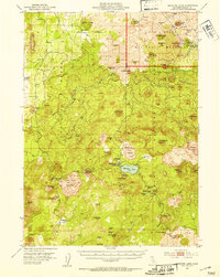
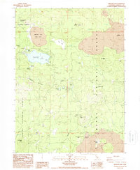
USGS Historical Quadrangle in GeoPDF.
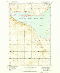
USGS Historical Quadrangle in GeoPDF.
Shallow subsurface electrical conductivity was mapped at selected U.S. Fish and Wildlife Service managed lands in northeast Montana and northwest North Dakota using the DUALEM421 electromagnetic sensor (Dualem, Inc., ON, Canada) in the winters of 2017 and 2018. Data were acquired by towing the DUALEM421 sensor on a sled behind an all-terrain vehicle or snow machine, with the sensor at a nominal height of 0.3 meters (m) above ground surface. Approximately 427 line-kilometers (km) of data were acquired over an area of nearly 26 square-kilometers. Data were manually edited to remove sensor dropouts, lag corrected for apparent offsets between recorded GPS location and data locations for each coil pair, and averaged...
Categories: Data;
Types: ArcGIS REST Map Service,
ArcGIS Service Definition,
Downloadable,
Map Service,
OGC WFS Layer,
OGC WMS Layer,
Shapefile;
Tags: Anderson,
Beaver Lake,
Bigslough,
Divide County, ND,
Dog Leg,
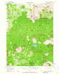
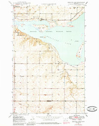
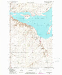
USGS Historical Quadrangle in GeoPDF.

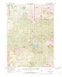
USGS Historical Quadrangle in GeoPDF.
Medicine Lake volcano (MLV) is a very large shield-shaped volcano located in northern California where it forms part of the southern Cascade Range of volcanoes. It has erupted hundreds of times during its half-million-year history, including nine times during the past 5,200 years, most recently 950 years ago. This record represents one of the highest eruptive frequencies among Cascade volcanoes and includes a wide variety of different types of lava flows and at least two explosive eruptions that produced widespread fallout. Compared to those of a typical Cascade stratovolcano, eruptive vents at MLV are widely distributed, extending 55 km north-south and 40 km east-west. The total area covered by MLV lavas is >2,000...
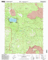
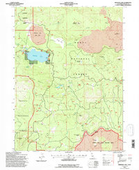
USGS Historical Quadrangle in GeoPDF.
USGS Historical Quadrangle in GeoPDF.
USGS Historical Quadrangle in GeoPDF.
This digital data release contains geospatial geologic data compiled for northeastern California, a region predominantly covered by Quaternary and Neogene volcanic rocks. Geologic map data were compiled for the purposes of interpreting data from two aeromagnetic surveys that were flown for the area; geologic compilation focused on the existence and location of faults and volcanic features - those geologic elements considered most likely to produce a magnetic anomaly. Geologic data, compiled from published sources, include the location and characteristics of geologic contacts and faults, mapped geologic polygons, boundaries of volcanic edifices, and the location of volcanic vents. The digital geologic database presented...
Shallow subsurface electrical conductivity was mapped at Medwell National Wildlife Refuge (NWR) in northeast Montana using the DUALEM421 electromagnetic sensor (Dualem, Inc., ON, Canada) in the winter of 2017. Data were acquired by towing the DUALEM421 sensor on a sled behind an all-terrain vehicle or snow machine, with the sensor at a nominal height of 0.3 meters (m) above ground surface. Approximately 9 line-kilometers (km) of data were acquired over an area of approximately 1 square-kilometer. Data were manually edited to remove sensor dropouts, lag corrected for apparent offsets between recorded GPS location and data locations for each coil pair, and averaged to a sounding distance of 1m along the survey path;...
Categories: Data;
Types: Downloadable,
Map Service,
OGC WFS Layer,
OGC WMS Layer,
Shapefile;
Tags: GGGSC,
Geology, Geophysics, and Geochemistry Science Center,
Medicine Lake,
Medwell,
Montana,
USGS Historical Quadrangle in GeoPDF.
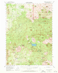
USGS Historical Quadrangle in GeoPDF.
USGS Historical Quadrangle in GeoPDF.
This zip folder contains ASCII text files of vectors at the specified volcano at 12-hour intervals, from January 1, 1990 through December 28, 2009. The wind vectors are divided into five files, names by their elevation range above sea level in the atmosphere: 00-05km.txt; 05-11km.txt; 11-16km.txt; 16-24km.txt; and 24-30km.txt. The zip folder also contains a subfolder "figures", with Wind rose plots of wind direction and speed over this time period. The plots are by season, and by elevation, given a total of 20 plots (4 seasons, 5 elevation ranges). A summary plot is also included which gives the year-round wind pattern at the volcano, at 0-5 km elevation. Plots are in both jpg and pdf format.
Types: Citation;
Tags: Medicine Lake,
Volcanic Ash,
Volcanic Eruption Forecasting,
meteorology,
wind
USGS Historical Quadrangle in GeoPDF.
USGS Historical Quadrangle in GeoPDF.
|

|
