Filters: Tags: Morgantown (X)
42 results (205ms)|
Filters
Date Range
Contacts
Categories Tag Types Tag Schemes |
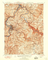
USGS Historical Quadrangle in GeoPDF.
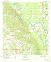
USGS Historical Quadrangle in GeoPDF.
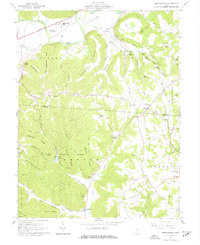
USGS Historical Quadrangle in GeoPDF.
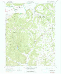
USGS Historical Quadrangle in GeoPDF.
USGS Historical Quadrangle in GeoPDF.
USGS Historical Quadrangle in GeoPDF.
USGS Historical Quadrangle in GeoPDF.
USGS Historical Quadrangle in GeoPDF.
USGS Historical Quadrangle in GeoPDF.
USGS Historical Quadrangle in GeoPDF.
USGS Historical Quadrangle in GeoPDF.
USGS Historical Quadrangle in GeoPDF.
USGS Historical Quadrangle in GeoPDF.
USGS Historical Quadrangle in GeoPDF.
USGS Historical Quadrangle in GeoPDF.
USGS Historical Quadrangle in GeoPDF.
USGS Historical Quadrangle in GeoPDF.
The Marcellus Shale Energy and Environment Laboratory (MSEEL) site is a long-term field site and laboratory at the Northeast Natural Energy LLC (NNE) production facility, adjacent to the Monongahela River, located in western Monongalia County, West Virginia, USA. NNE began drilling two horizontal production wells, MIP (Morgantown Industrial Park) -5H and MIP-3H, in the Marcellus Shale in 2014. The wells were completed in December 2015. Large volumes of wastewater are generated with natural gas production. These wastewaters contain organic and inorganic chemical constituents from fracturing fluids used during drilling and stimulation of gas in host rocks/shale, as well as chemical compounds that are derived from...
This U.S. Geological Survey (USGS) Data Release is focused on the geochemistry of wastewater (including flowback and produced water) samples, co-produced with natural gas, collected from the Marcellus Shale Energy and Environment Laboratory (MSEEL) site. MSEEL is a long-term field site and laboratory at the Northeast Natural Energy LLC (NNE) production facility, adjacent to the Monongahela River, located in western Monongalia County, West Virginia, USA. NNE began drilling two horizontal production wells, MIP (Morgantown Industrial Park) -5H and MIP-3H, in the Marcellus Shale in 2014. The wells were completed in December 2015. Large volumes of wastewater are generated with natural gas production. These wastewaters...
USGS Historical Quadrangle in GeoPDF.
|

|
