Filters: Tags: ND (X) > partyWithName: The National Map (X)
1,431 results (197ms)|
Filters
Date Range
Contacts Tag Types Tag Schemes |

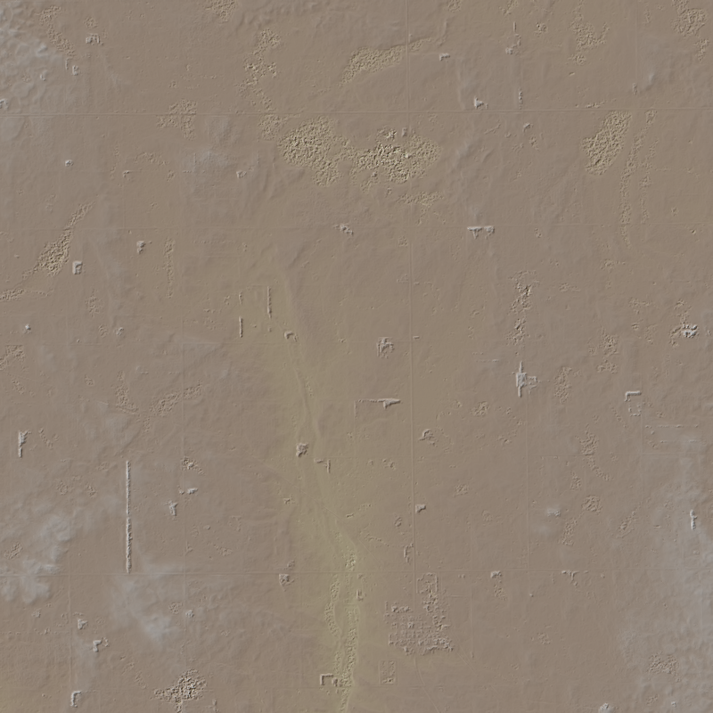
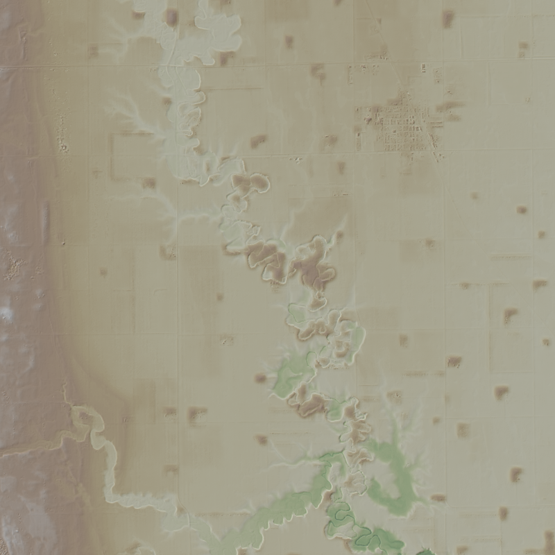
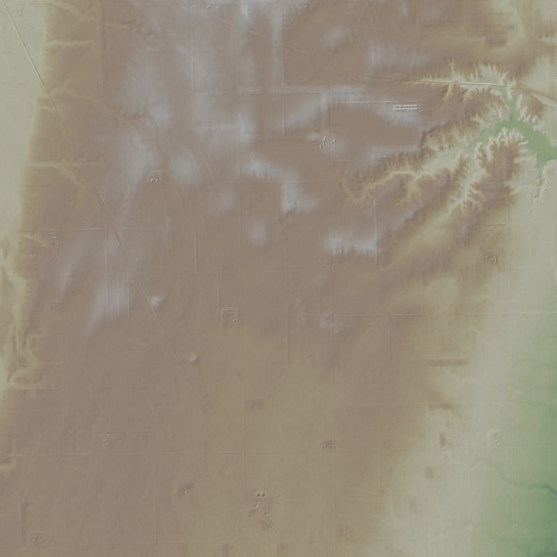
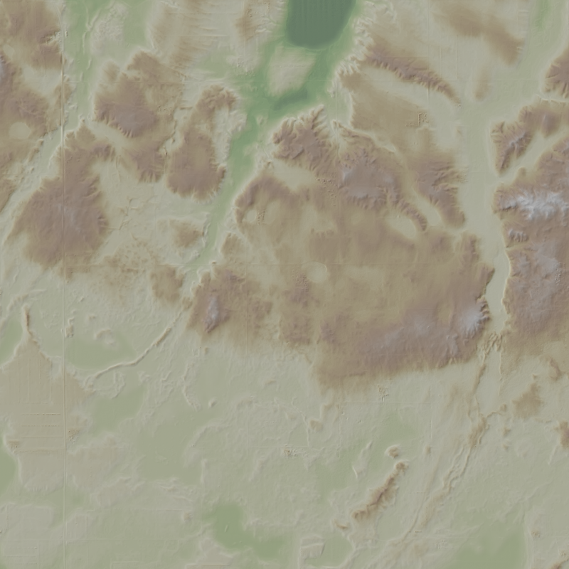
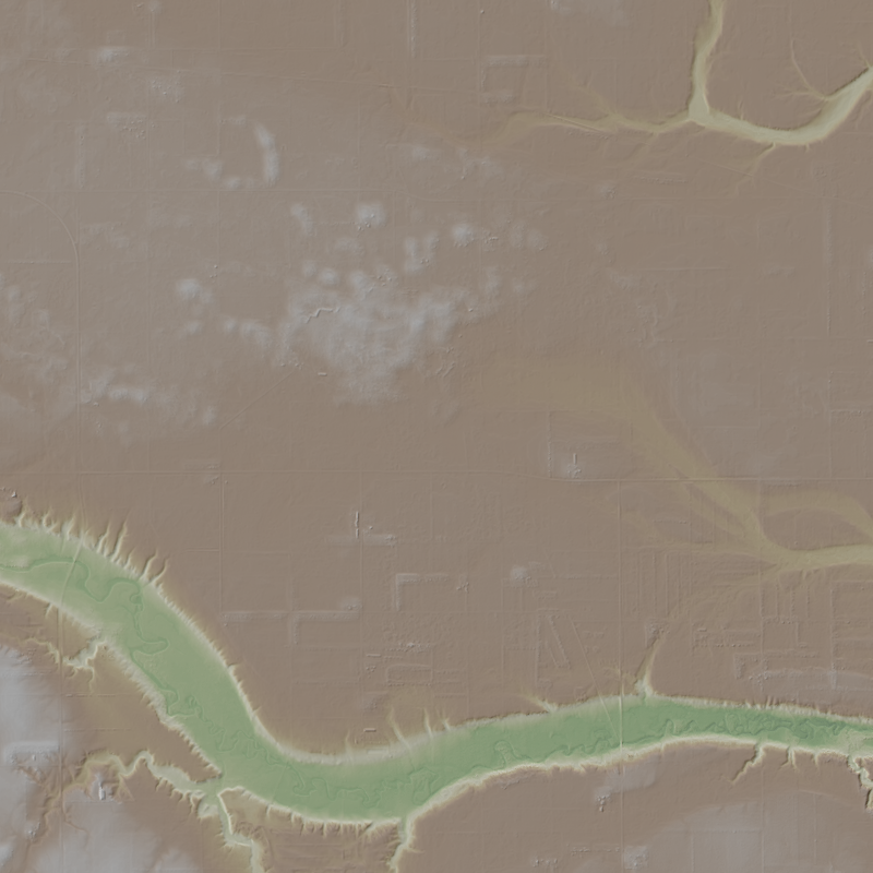
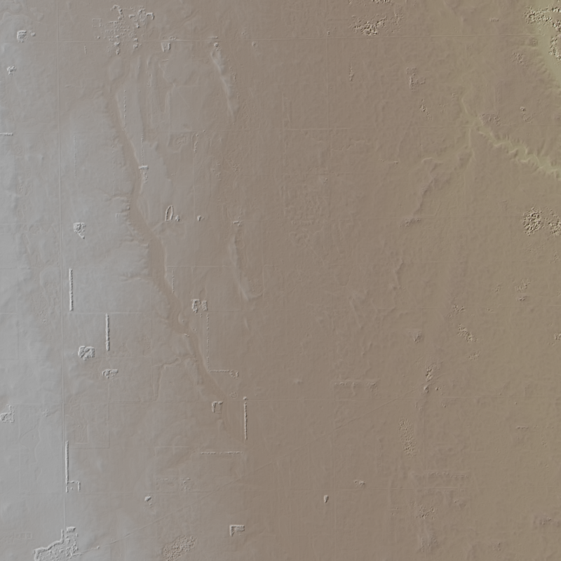
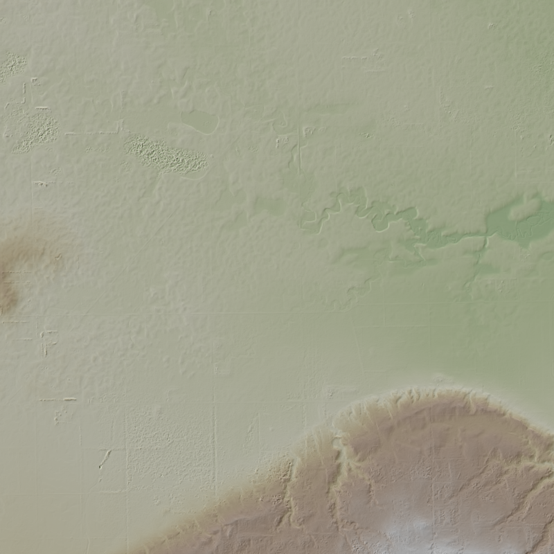
This is a 1-meter resolution digital surface model (DSM) derived from commercial electro-optical satellite imagery. Contributing imaging sensors include WorldView-1, WorldView-2, WorldView-3, and GeoEye-1. A digital surface model (DSM) is a 3D representation of the Earth’s surface height, including any natural or built features located on it, such as the tops of buildings, trees and vegetation. This “top of surface” elevation dataset was produced by the National Geospatial-Intelligence Agency (NGA) with the support of the GeoData Cooperative. The GeoData Cooperative is a Department of Defense mission-driven collaboration between industry, academia, and the U.S. Government to enable access to current, accurate, and...

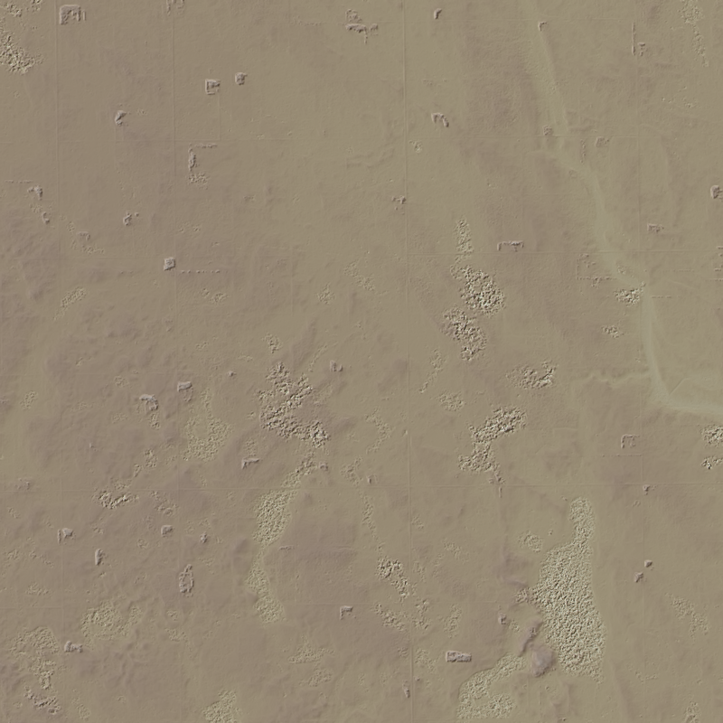
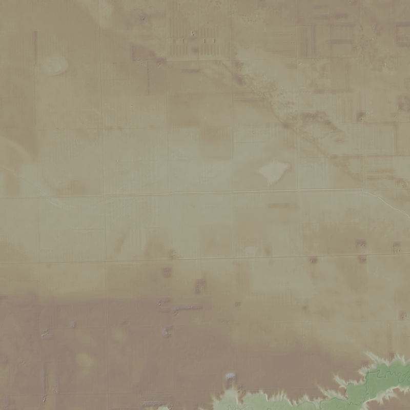
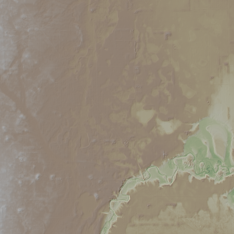
This is a 1-meter resolution digital surface model (DSM) derived from commercial electro-optical satellite imagery. Contributing imaging sensors include WorldView-1, WorldView-2, WorldView-3, and GeoEye-1. A digital surface model (DSM) is a 3D representation of the Earth’s surface height, including any natural or built features located on it, such as the tops of buildings, trees and vegetation. This “top of surface” elevation dataset was produced by the National Geospatial-Intelligence Agency (NGA) with the support of the GeoData Cooperative. The GeoData Cooperative is a Department of Defense mission-driven collaboration between industry, academia, and the U.S. Government to enable access to current, accurate, and...
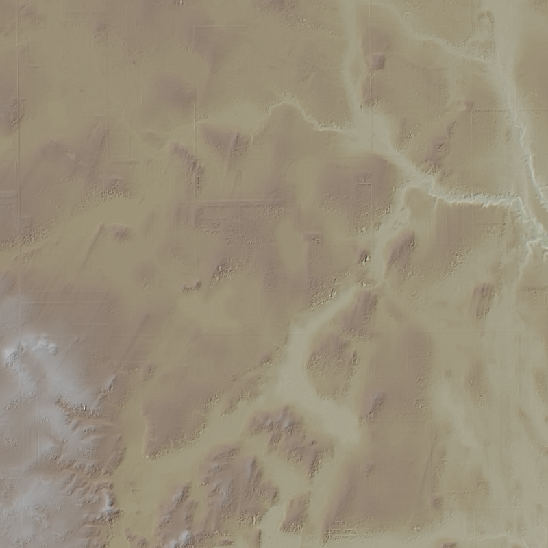
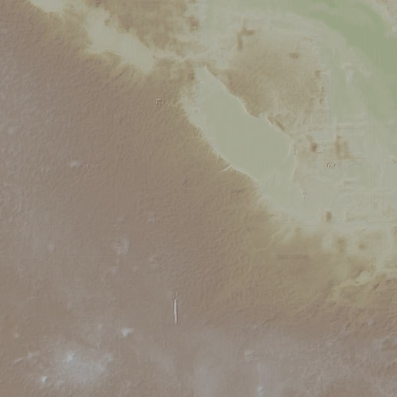
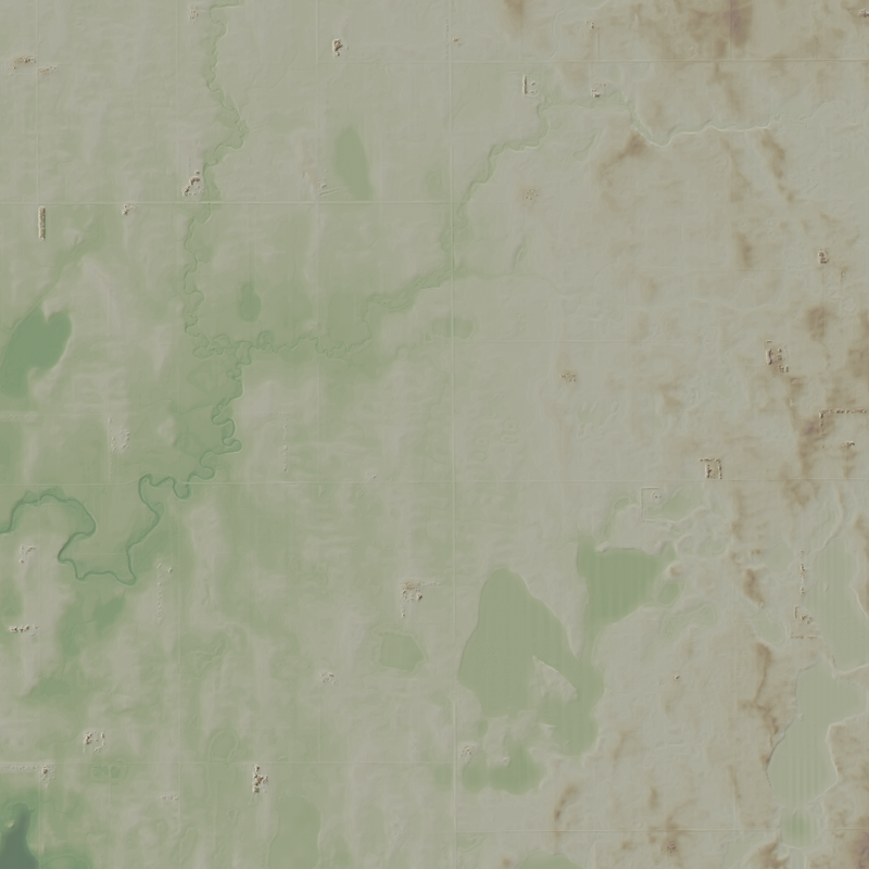
This is a 1-meter resolution digital surface model (DSM) derived from commercial electro-optical satellite imagery. Contributing imaging sensors include WorldView-1, WorldView-2, WorldView-3, and GeoEye-1. A digital surface model (DSM) is a 3D representation of the Earth’s surface height, including any natural or built features located on it, such as the tops of buildings, trees and vegetation. This “top of surface” elevation dataset was produced by the National Geospatial-Intelligence Agency (NGA) with the support of the GeoData Cooperative. The GeoData Cooperative is a Department of Defense mission-driven collaboration between industry, academia, and the U.S. Government to enable access to current, accurate, and...
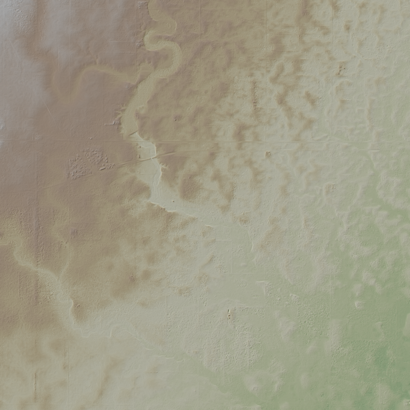
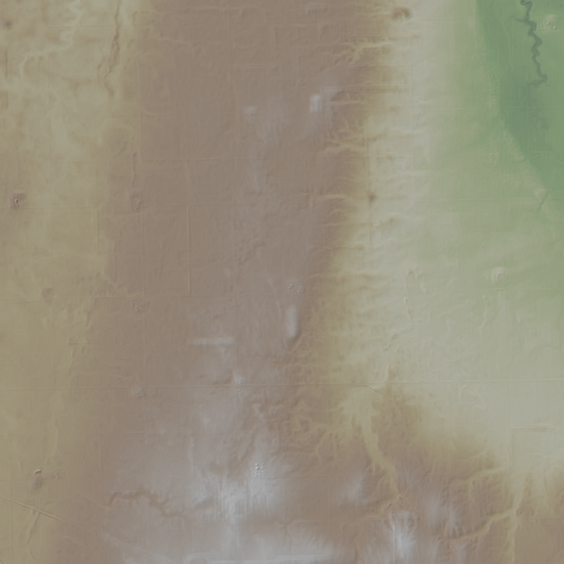
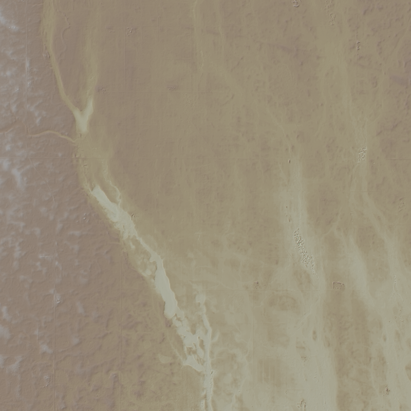
This is a 1-meter resolution digital surface model (DSM) derived from commercial electro-optical satellite imagery. Contributing imaging sensors include WorldView-1, WorldView-2, WorldView-3, and GeoEye-1. A digital surface model (DSM) is a 3D representation of the Earth’s surface height, including any natural or built features located on it, such as the tops of buildings, trees and vegetation. This “top of surface” elevation dataset was produced by the National Geospatial-Intelligence Agency (NGA) with the support of the GeoData Cooperative. The GeoData Cooperative is a Department of Defense mission-driven collaboration between industry, academia, and the U.S. Government to enable access to current, accurate, and...
This is a 1-meter resolution digital surface model (DSM) derived from commercial electro-optical satellite imagery. Contributing imaging sensors include WorldView-1, WorldView-2, WorldView-3, and GeoEye-1. A digital surface model (DSM) is a 3D representation of the Earth’s surface height, including any natural or built features located on it, such as the tops of buildings, trees and vegetation. This “top of surface” elevation dataset was produced by the National Geospatial-Intelligence Agency (NGA) with the support of the GeoData Cooperative. The GeoData Cooperative is a Department of Defense mission-driven collaboration between industry, academia, and the U.S. Government to enable access to current, accurate, and...
This is a 1-meter resolution digital surface model (DSM) derived from commercial electro-optical satellite imagery. Contributing imaging sensors include WorldView-1, WorldView-2, WorldView-3, and GeoEye-1. A digital surface model (DSM) is a 3D representation of the Earth’s surface height, including any natural or built features located on it, such as the tops of buildings, trees and vegetation. This “top of surface” elevation dataset was produced by the National Geospatial-Intelligence Agency (NGA) with the support of the GeoData Cooperative. The GeoData Cooperative is a Department of Defense mission-driven collaboration between industry, academia, and the U.S. Government to enable access to current, accurate, and...
This is a 1-meter resolution digital surface model (DSM) derived from commercial electro-optical satellite imagery. Contributing imaging sensors include WorldView-1, WorldView-2, WorldView-3, and GeoEye-1. A digital surface model (DSM) is a 3D representation of the Earth’s surface height, including any natural or built features located on it, such as the tops of buildings, trees and vegetation. This “top of surface” elevation dataset was produced by the National Geospatial-Intelligence Agency (NGA) with the support of the GeoData Cooperative. The GeoData Cooperative is a Department of Defense mission-driven collaboration between industry, academia, and the U.S. Government to enable access to current, accurate, and...
This is a 1-meter resolution digital surface model (DSM) derived from commercial electro-optical satellite imagery. Contributing imaging sensors include WorldView-1, WorldView-2, WorldView-3, and GeoEye-1. A digital surface model (DSM) is a 3D representation of the Earth’s surface height, including any natural or built features located on it, such as the tops of buildings, trees and vegetation. This “top of surface” elevation dataset was produced by the National Geospatial-Intelligence Agency (NGA) with the support of the GeoData Cooperative. The GeoData Cooperative is a Department of Defense mission-driven collaboration between industry, academia, and the U.S. Government to enable access to current, accurate, and...
This is a 1-meter resolution digital surface model (DSM) derived from commercial electro-optical satellite imagery. Contributing imaging sensors include WorldView-1, WorldView-2, WorldView-3, and GeoEye-1. A digital surface model (DSM) is a 3D representation of the Earth’s surface height, including any natural or built features located on it, such as the tops of buildings, trees and vegetation. This “top of surface” elevation dataset was produced by the National Geospatial-Intelligence Agency (NGA) with the support of the GeoData Cooperative. The GeoData Cooperative is a Department of Defense mission-driven collaboration between industry, academia, and the U.S. Government to enable access to current, accurate, and...

This is a 1-meter resolution digital surface model (DSM) derived from commercial electro-optical satellite imagery. Contributing imaging sensors include WorldView-1, WorldView-2, WorldView-3, and GeoEye-1. A digital surface model (DSM) is a 3D representation of the Earth’s surface height, including any natural or built features located on it, such as the tops of buildings, trees and vegetation. This “top of surface” elevation dataset was produced by the National Geospatial-Intelligence Agency (NGA) with the support of the GeoData Cooperative. The GeoData Cooperative is a Department of Defense mission-driven collaboration between industry, academia, and the U.S. Government to enable access to current, accurate, and...
This is a 1-meter resolution digital surface model (DSM) derived from commercial electro-optical satellite imagery. Contributing imaging sensors include WorldView-1, WorldView-2, WorldView-3, and GeoEye-1. A digital surface model (DSM) is a 3D representation of the Earth’s surface height, including any natural or built features located on it, such as the tops of buildings, trees and vegetation. This “top of surface” elevation dataset was produced by the National Geospatial-Intelligence Agency (NGA) with the support of the GeoData Cooperative. The GeoData Cooperative is a Department of Defense mission-driven collaboration between industry, academia, and the U.S. Government to enable access to current, accurate, and...
This is a 1-meter resolution digital surface model (DSM) derived from commercial electro-optical satellite imagery. Contributing imaging sensors include WorldView-1, WorldView-2, WorldView-3, and GeoEye-1. A digital surface model (DSM) is a 3D representation of the Earth’s surface height, including any natural or built features located on it, such as the tops of buildings, trees and vegetation. This “top of surface” elevation dataset was produced by the National Geospatial-Intelligence Agency (NGA) with the support of the GeoData Cooperative. The GeoData Cooperative is a Department of Defense mission-driven collaboration between industry, academia, and the U.S. Government to enable access to current, accurate, and...
This is a 1-meter resolution digital surface model (DSM) derived from commercial electro-optical satellite imagery. Contributing imaging sensors include WorldView-1, WorldView-2, WorldView-3, and GeoEye-1. A digital surface model (DSM) is a 3D representation of the Earth’s surface height, including any natural or built features located on it, such as the tops of buildings, trees and vegetation. This “top of surface” elevation dataset was produced by the National Geospatial-Intelligence Agency (NGA) with the support of the GeoData Cooperative. The GeoData Cooperative is a Department of Defense mission-driven collaboration between industry, academia, and the U.S. Government to enable access to current, accurate, and...

This is a 1-meter resolution digital surface model (DSM) derived from commercial electro-optical satellite imagery. Contributing imaging sensors include WorldView-1, WorldView-2, WorldView-3, and GeoEye-1. A digital surface model (DSM) is a 3D representation of the Earth’s surface height, including any natural or built features located on it, such as the tops of buildings, trees and vegetation. This “top of surface” elevation dataset was produced by the National Geospatial-Intelligence Agency (NGA) with the support of the GeoData Cooperative. The GeoData Cooperative is a Department of Defense mission-driven collaboration between industry, academia, and the U.S. Government to enable access to current, accurate, and...
This is a 1-meter resolution digital surface model (DSM) derived from commercial electro-optical satellite imagery. Contributing imaging sensors include WorldView-1, WorldView-2, WorldView-3, and GeoEye-1. A digital surface model (DSM) is a 3D representation of the Earth’s surface height, including any natural or built features located on it, such as the tops of buildings, trees and vegetation. This “top of surface” elevation dataset was produced by the National Geospatial-Intelligence Agency (NGA) with the support of the GeoData Cooperative. The GeoData Cooperative is a Department of Defense mission-driven collaboration between industry, academia, and the U.S. Government to enable access to current, accurate, and...
This is a 1-meter resolution digital surface model (DSM) derived from commercial electro-optical satellite imagery. Contributing imaging sensors include WorldView-1, WorldView-2, WorldView-3, and GeoEye-1. A digital surface model (DSM) is a 3D representation of the Earth’s surface height, including any natural or built features located on it, such as the tops of buildings, trees and vegetation. This “top of surface” elevation dataset was produced by the National Geospatial-Intelligence Agency (NGA) with the support of the GeoData Cooperative. The GeoData Cooperative is a Department of Defense mission-driven collaboration between industry, academia, and the U.S. Government to enable access to current, accurate, and...
This is a 1-meter resolution digital surface model (DSM) derived from commercial electro-optical satellite imagery. Contributing imaging sensors include WorldView-1, WorldView-2, WorldView-3, and GeoEye-1. A digital surface model (DSM) is a 3D representation of the Earth’s surface height, including any natural or built features located on it, such as the tops of buildings, trees and vegetation. This “top of surface” elevation dataset was produced by the National Geospatial-Intelligence Agency (NGA) with the support of the GeoData Cooperative. The GeoData Cooperative is a Department of Defense mission-driven collaboration between industry, academia, and the U.S. Government to enable access to current, accurate, and...
This is a 1-meter resolution digital surface model (DSM) derived from commercial electro-optical satellite imagery. Contributing imaging sensors include WorldView-1, WorldView-2, WorldView-3, and GeoEye-1. A digital surface model (DSM) is a 3D representation of the Earth’s surface height, including any natural or built features located on it, such as the tops of buildings, trees and vegetation. This “top of surface” elevation dataset was produced by the National Geospatial-Intelligence Agency (NGA) with the support of the GeoData Cooperative. The GeoData Cooperative is a Department of Defense mission-driven collaboration between industry, academia, and the U.S. Government to enable access to current, accurate, and...
This is a 1-meter resolution digital surface model (DSM) derived from commercial electro-optical satellite imagery. Contributing imaging sensors include WorldView-1, WorldView-2, WorldView-3, and GeoEye-1. A digital surface model (DSM) is a 3D representation of the Earth’s surface height, including any natural or built features located on it, such as the tops of buildings, trees and vegetation. This “top of surface” elevation dataset was produced by the National Geospatial-Intelligence Agency (NGA) with the support of the GeoData Cooperative. The GeoData Cooperative is a Department of Defense mission-driven collaboration between industry, academia, and the U.S. Government to enable access to current, accurate, and...
This is a 1-meter resolution digital surface model (DSM) derived from commercial electro-optical satellite imagery. Contributing imaging sensors include WorldView-1, WorldView-2, WorldView-3, and GeoEye-1. A digital surface model (DSM) is a 3D representation of the Earth’s surface height, including any natural or built features located on it, such as the tops of buildings, trees and vegetation. This “top of surface” elevation dataset was produced by the National Geospatial-Intelligence Agency (NGA) with the support of the GeoData Cooperative. The GeoData Cooperative is a Department of Defense mission-driven collaboration between industry, academia, and the U.S. Government to enable access to current, accurate, and...
|

|
