Filters: Tags: Nehalem (X)
10 results (62ms)|
Filters
Date Range
Contacts
Categories Tag Types Tag Schemes |
These are metadata related to the collection of samples on the FK190612 research expedition in the north Pacific Ocean along the Cascadia margin in June 2019. Samples were collected to examine characteristics of methane emissions from seafloor seeps at the edge of hydrate stability and the associated communities.
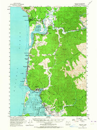
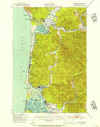
USGS Historical Quadrangle in GeoPDF.
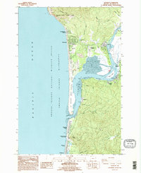
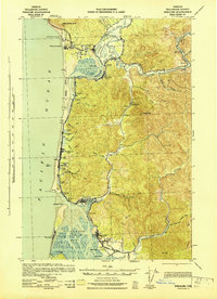
USGS Historical Quadrangle in GeoPDF.
Bathymetric data were collected by the U.S. Geological Survey (USGS) in 2019 for approximately 2.2 square kilometers of the Nehalem Bay between the Highway 101 bridge and Nehalem Bay State Park (about 6.5 kilometers) near Wheeler, Oregon. The data were collected using a Trimble R8 Global Navigation Satellite System (GNSS) receiver combined with a Seafloor Systems Hydrolite TM single-beam 200 kilohertz echosounder mounted to a motorized boat. GPS positions received corrections in real time from the Oregon Real-Time GNSS Network. Sound velocity profiles were recorded at 19 different locations evenly spaced throughout the survey area using an AML Oceanographic Base X2 100 meter sound velocity profiler in order to quantify...
Bathymetric data were collected by the U.S. Geological Survey (USGS) in 2019 for approximately 2.2 square kilometers of the Nehalem Bay between the Highway 101 bridge and Nehalem Bay State Park (about 6.5 kilometers) near Wheeler, Oregon. The data were collected using a Trimble R8 Global Navigation Satellite System (GNSS) receiver combined with a Seafloor Systems Hydrolite TM single-beam 200 kilohertz echosounder mounted to a motorized boat. GPS positions received corrections in real time from the Oregon Real-Time GNSS Network. Sound velocity profiles were recorded at 19 different locations evenly spaced throughout the survey area using an AML Oceanographic Base X2 100 meter sound velocity profiler in order to quantify...
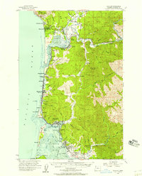
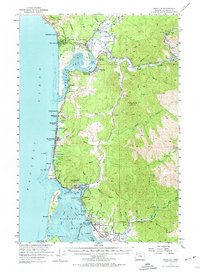
USGS Historical Quadrangle in GeoPDF.
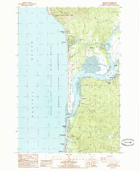
USGS Historical Quadrangle in GeoPDF.
USGS Historical Quadrangle in GeoPDF.
USGS Historical Quadrangle in GeoPDF.
USGS Historical Quadrangle in GeoPDF.
|

|
