Filters: Tags: Omaha South (X)
14 results (57ms)|
Filters
Date Range
Contacts
Tag Types Tag Schemes |
This dataset is a file of contour lines representing the estimated altitude of the water table in western Sarpy County. This dataset was developed as part of a cooperative study between the Papillion-Missouri River Natural Resources District (PMRNRD) and USGS which began in 2017. The goal of this study was to develop a hydrogeologic visualization model of western Sarpy County using GeoScene3D. In 2016, the PMRNRD contracted airborne electromagnetic surveys (AEM) of the area to be completed to better understand the stratigraphy and hydrogeology of the western Sarpy County area. The PMRNRD determined that they wanted to incorporate the AEM data into a visualization tool that would allow PMRNRD staff to easily interact...
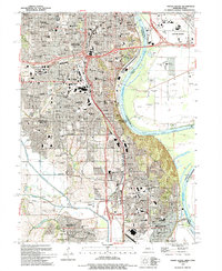
USGS Historical Quadrangle in GeoPDF.
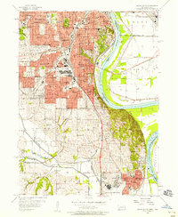
USGS Historical Quadrangle in GeoPDF.
This dataset includes a grid raster and contour line file representing the estimated altitude of the top of the Pennsylvanian-age units in western Sarpy County, Nebraska. This dataset was developed as part of a cooperative study between the PMRNRD and USGS which began in 2017. The goal of this study was to develop a hydrogeologic visualization model of western Sarpy County using GeoScene3D. In 2016, the Papillion-Missouri River Natural Resources District (PMRNRD) contracted airborne electromagnetic surveys (AEM) of the area to be completed to better understand the stratigraphy and hydrogeology of the western Sarpy County area. The PMRNRD determined that they wanted to incorporate the AEM data into a visualization...
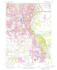
USGS Historical Quadrangle in GeoPDF.
This dataset is a raster representing the estimated altitude of the top of the Pennsylvanian-age units in western Sarpy County. This dataset was developed as part of a cooperative study between the Papillion-Missouri River Natural Resources District (PMRNRD) and USGS which began in 2017. The goal of this study was to develop a hydrogeologic visualization model of western Sarpy County using GeoScene3D. In 2016, the PMRNRD arranged for airborne electromagnetic surveys (AEM) of the area to be completed to better understand the stratigraphy and hydrogeology of the western Sarpy County area. The PMRNRD determined that they wanted to incorporate the AEM data into a visualization tool (Geoscene3D) that would allow PMRNRD...

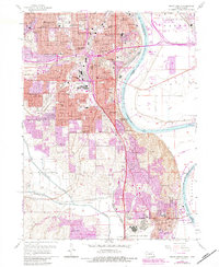
USGS Historical Quadrangle in GeoPDF.
This dataset is a shapefile of contours representing the estimated altitude of the top of the Dakota Sandstone in western Sarpy County. This dataset was developed as part of a cooperative study between the PMRNRD and USGS which began in 2017. The goal of this study was to develop a hydrogeologic visualization model of western Sarpy County using GeoScene3D. In 2016, the Papillion-Missouri River Natural Resources District (PMRNRD) contracted airborne electromagnetic surveys (AEM) of the area to be completed to better understand the stratigraphy and hydrogeology of the western Sarpy County area. The PMRNRD determined that they wanted to incorporate the AEM data into a visualization tool that would allow PMRNRD staff...
This dataset includes a grid raster and contour line file representing the estimated altitude of the top of the Dakota Sandstone in western Sarpy County. This dataset was developed as part of a cooperative study between the Papillion-Missouri River Natural Resources District (PMRNRD) and USGS which began in 2017. The goal of this study was to develop a hydrogeologic visualization model of western Sarpy County using GeoScene3D. In 2016, the contracted airborne electromagnetic surveys (AEM) of the area to be completed to better understand the stratigraphy and hydrogeology of the western Sarpy County area. The PMRNRD determined that they wanted to incorporate the AEM data into a visualization tool (Geoscene 3D) that...
This dataset is a shapefile of contours representing the estimated altitude of the top of the Pennsylvanian-age units in western Sarpy County. This dataset was developed as part of a cooperative study between the Papillion-Missouri River Natural Resources District (PMRNRD) and USGS which began in 2017. The goal of this study was to develop a hydrogeologic visualization model of western Sarpy County using GeoScene3D. In 2016, the PMRNRD contracted airborne electromagnetic surveys (AEM) of the area to be completed to better understand the stratigraphy and hydrogeology of the western Sarpy County area. The PMRNRD determined that they wanted to incorporate the AEM data into a visualization tool that would allow PMRNRD...
USGS Historical Quadrangle in GeoPDF.
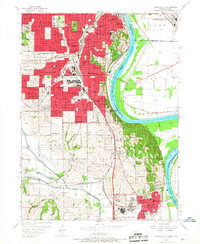
USGS Historical Quadrangle in GeoPDF.
This dataset is a raster representing the estimated altitude of the top of the Dakota Sandstone in western Sarpy County. This dataset was developed as part of a cooperative study between the Papillion-Missouri River Natural Resources District (PMRNRD) and USGS which began in 2017. The goal of this study was to develop a hydrogeologic visualization model of western Sarpy County using GeoScene3D. In 2016, the contracted airborne electromagnetic surveys (AEM) of the area to be completed to better understand the stratigraphy and hydrogeology of the western Sarpy County area. The PMRNRD determined that they wanted to incorporate the AEM data into a visualization tool (Geoscene 3D) that would allow PMRNRD staff to easily...
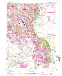
USGS Historical Quadrangle in GeoPDF.
|

|
