Filters: Tags: Owasco (X)
7 results (26ms)|
Filters
Date Range
Contacts
Tag Types Tag Schemes |
The Wetland Reserve Program (WRP) is a voluntary program administered by the NRCS. It provides technical and financial assistance to private landowners and Tribes to restore, protect, and enhance wetlands in exchange for retiring eligible land from agriculture. For a site to be a wetland eligible for restoration, it must be in a zone with sustained or frequent flooding for a period of 7 consecutive days on average at least once every 2 years (a value termed the 7MQ2). This study calculated the 7MQ2 flows for all the U.S. Geological Survey streamgages within the selected study reaches. These flows were related to the stage discharge tables for each streamgage and a corresponding elevation was determined. By use of...
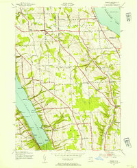
USGS Historical Quadrangle in GeoPDF.
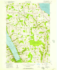
USGS Historical Quadrangle in GeoPDF.
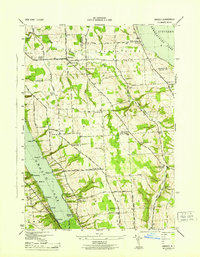
USGS Historical Quadrangle in GeoPDF.
USGS Historical Quadrangle in GeoPDF.
USGS Historical Quadrangle in GeoPDF.
USGS Historical Quadrangle in GeoPDF.
|

|
