Filters: Tags: Oyster Bay (X)
22 results (1.7s)|
Filters
Date Range
Extensions Types
Contacts
Categories Tag Types
|
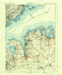
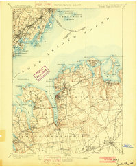
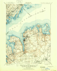
USGS Historical Quadrangle in GeoPDF.
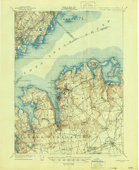
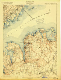
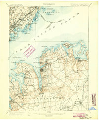
USGS Historical Quadrangle in GeoPDF.
The 2008 - Present Ecosystem History of South Florida's Estuaries Database contains listings of all sites (modern and core) and modern monitoring site survey information (water chemistry, floral and faunal data, etc.). Three general types of data are contained within this database: 1) Modern Field Data (2008-present), 2) Master list of location information on all modern sites, and 3) Core data - location information. Data are available for modern sites (from 2008 to present) and cores in the general areas of Florida Bay, Biscayne Bay, and the southwest (Florida) coastal mangrove estuaries. Specific sites in the Florida Bay area include Taylor Creek, Bob Allen Key, Russell Bank, Pass Key, Whipray Basin, Rankin Bight,...
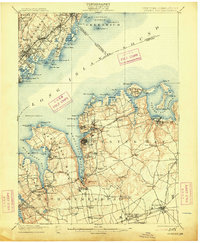
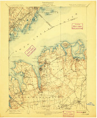
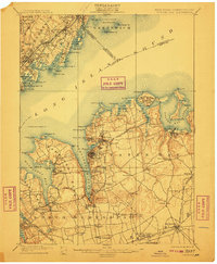
USGS Historical Quadrangle in GeoPDF.

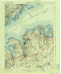
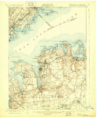
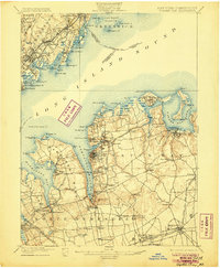
USGS Historical Quadrangle in GeoPDF.
USGS Historical Quadrangle in GeoPDF.
USGS Historical Quadrangle in GeoPDF.
USGS Historical Quadrangle in GeoPDF.

USGS Historical Quadrangle in GeoPDF.
USGS Historical Quadrangle in GeoPDF.
USGS Historical Quadrangle in GeoPDF.
USGS Historical Quadrangle in GeoPDF.
USGS Historical Quadrangle in GeoPDF.
USGS Historical Quadrangle in GeoPDF.
USGS Historical Quadrangle in GeoPDF.
USGS Historical Quadrangle in GeoPDF.

USGS Historical Quadrangle in GeoPDF.
This model archive contains files for a set of groundwater flow, particle tracking, and management optimization models that simulate the area around the Navy-Northrop-Grumman contamination plume on Long Island, New York. These models were developed as in insets from the Long Island Regional “parent” Model, from which perimeter boundary conditions were inherited. In addition to input and output files for these models, this archive contains the modeling workflow python code and source data used to build the model. These materials have been included for repeatability and decision transparency.
Types: Map Service,
OGC WFS Layer,
OGC WMS Layer,
OGC WMS Service;
Tags: Bethpage,
Groundwater,
Hydrology,
Long Island,
Long Island West,
The 1995 - 2007 Ecosystem History of South Florida's Estuaries Database contains listings of all sites (modern and core), modern monitoring site survey information (water chemistry, floral and faunal data, bottom type, etc.), and published core data. Three general types of data are contained within this database: 1) Modern Field Data (1995-2007), 2) Master list of location information on all modern sites, and 3) Core data - faunal assemblages and location information. Data are available for modern sites and cores in the general areas of Florida Bay, Biscayne Bay, and the southwest (Florida) coastal mangrove estuaries. Specific sites in the Florida Bay area include Taylor Creek, Bob Allen Key, Russell Bank, Pass...
USGS Historical Quadrangle in GeoPDF.
|

|
