Filters: Tags: Pagosa Springs (X)
9 results (37ms)|
Filters
Date Range
Contacts
Tag Types Tag Schemes |
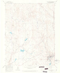
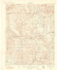
USGS Historical Quadrangle in GeoPDF.
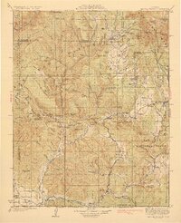
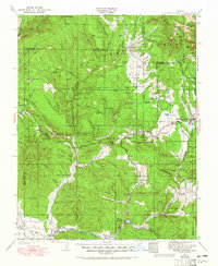
USGS Historical Quadrangle in GeoPDF.

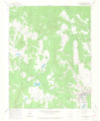
USGS Historical Quadrangle in GeoPDF.
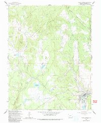
USGS Historical Quadrangle in GeoPDF.
USGS Historical Quadrangle in GeoPDF.

USGS Historical Quadrangle in GeoPDF.
USGS Historical Quadrangle in GeoPDF.
The Pagosa Springs geologic map is of the 7.5-minute quadrangle of the same name. It is located in southwestern Colorado, USA and shows the town of Pagosa Springs. The mapped area is southwest of the San Juan volcanic mountains (Oligocene) and north of the San Juan Basin. All bedrock units exposed in the map area are Upper Cretaceous in age except a minor canyon outcrop of Upper Jurassic rock. Pre-Holocene Quaternary age deposits are mainly alluvial gravels and outwash on terraces. Structure is simple: shale and sandstone beds dip at low angles east to northeast as a broad limb of the north-northwest striking Archuleta Anticline. Three geologic cross sections controlled by drill holes are included and depict Mesozoic...
USGS Historical Quadrangle in GeoPDF.
|

|
