Filters: Tags: Palm Springs (X)
21 results (40ms)|
Filters
Date Range
Extensions Types Contacts
Categories Tag Types Tag Schemes |
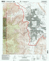
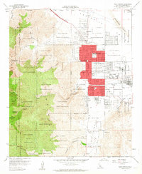
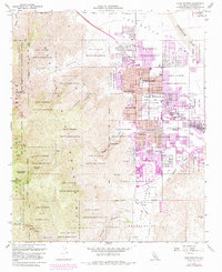
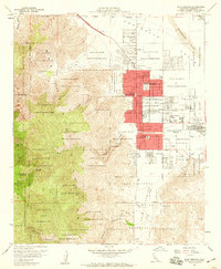
USGS Historical Quadrangle in GeoPDF.
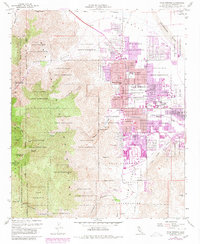
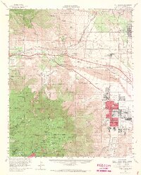
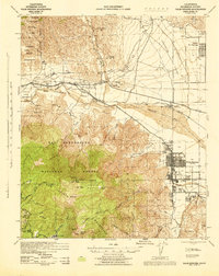
USGS Historical Quadrangle in GeoPDF.
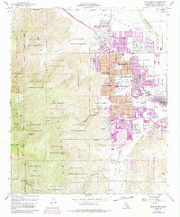
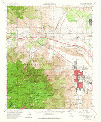
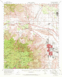
USGS Historical Quadrangle in GeoPDF.
Data provided here describe the contribution of up to 7 different water sources to the major ion geochemistry of U.S. Geological Survey (USGS) and California State Water Resources Control Board Division of Drinking Water (CA-DDW) groundwater samples within the Indio Subbasin of the Coachella Valley, California. The Inverse Geochemical Modeling was performed in the USGS's PHREEQC ver. 3 program and the results are discussed in the associated publication of Harkness and others (2023). Datasets include the major ion chemistry and model input parameters of 1593 samples included in the analysis, the median model results for each sample, and a data dictionary describing the tables. Analyses completed as part of this assessment...
The U.S. Geological Survey collected groundwater samples from 17 wells in the Indio subbasin (CA basin designation 7-21.01) of the Coachella Valley and surface water samples from two sites representing sources of recharge to the Indio subbasin in 2021. These samples are intended to provide inorganic water quality data, particularly total dissolved solids (TDS), within areas of the Indio subbasin not sampled for the Groundwater Ambient Monitoring and Assessment (GAMA) Program Priority Basin Project’s assessment of the quality of groundwater used for domestic and small system drinking water supplies in Coachella Valley (CODA). Other areas of special interest for the Indio salinity study were nearby managed aquifer...
Categories: Data;
Types: Downloadable,
Map Service,
OGC WFS Layer,
OGC WMS Layer,
Shapefile;
Tags: California,
Coachella Valley,
Geochemistry,
Groundwater,
Groundwater age,
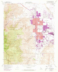
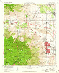
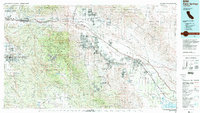
USGS Historical Quadrangle in GeoPDF.

USGS Historical Quadrangle in GeoPDF.
Estimated precipitation data were compiled using the WestMap web site (http://www.cefa.dri.edu/Westmap/) from 1995-2013. We selected pixels on the map shown on their web site that were in the core of our study areas: one near Palm Springs, California and the other at Sugarloaf Mountain in the Tonto National Forest of Arizona. WestMap uses PRISM data to make point measurements of climate data and a digital elevation model of terrain to create estimates of monthly climate elements. Estimates are derived for a 4km grid, for ease in mapping and GIS applications. PRISM is an integrated set of rules, decision making, and calculations designed to imitate the process an expert climatologist would go through when mapping...
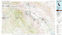
USGS Historical Quadrangle in GeoPDF.
USGS Historical Quadrangle in GeoPDF.
USGS Historical Quadrangle in GeoPDF.
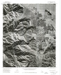
USGS Historical Quadrangle in GeoPDF.
USGS Historical Quadrangle in GeoPDF.
USGS Historical Quadrangle in GeoPDF.
Groundwater salinity presents a challenge to the management of water quality in the Indio subbasin of the Coachella Valley where a growing population is dependent primarily on groundwater for drinking water. The U.S. Geological survey, along with the Colorado River Basin regional water quality control board, are working to provide an assessment of salinity trends and sources in the Indio subbasin (California (CA) basin designation 7-21.01; California Department of Water Resources (2020)). As part of this work, salinity data and other selected inorganic water quality data, along with well construction information, for wells with available total dissolved solids (TDS) or conductance data were compiled from published...
USGS Historical Quadrangle in GeoPDF.
USGS Historical Quadrangle in GeoPDF.
USGS Historical Quadrangle in GeoPDF.
USGS Historical Quadrangle in GeoPDF.
USGS Historical Quadrangle in GeoPDF.
|

|
