Filters: Tags: Papoose Creek (X)
3 results (46ms)|
Filters
Date Range
Contacts
Categories Tag Types Tag Schemes |
This is a geochemical data set from the reanalysis of 44 rock samples collected between 1966 and 1970, and 107 sediment samples collected in 1966 and 1967. These samples were collected by the U.S. Geological Survey for a study investigating the mineral resources of the Idaho Primitive Area (Cater et al., 1973). The samples are from the Lower Middle Fork of the Salmon River, including the tributaries of Big Creek, Camas Creek, Brush Creek, Wilson Creek, Waterfall Creek, Ship Island Creek, Reese Creek, Stoddard Creek, and Papoose Creek. The overall objective of this study is to characterize the regional impact of legacy mining for the Frank Church River of No Return Wilderness Area. Mary P. Rossillon (1981) explored...
Categories: Data;
Tags: Annie Creek,
Atomic absorption analysis,
Atomic emission spectroscopy,
Beaver Creek,
Big Creek,
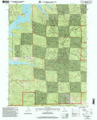
USGS Historical Quadrangle in GeoPDF.
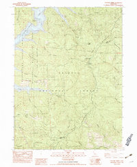
USGS Historical Quadrangle in GeoPDF.
|

|
