Filters: Tags: Patagonia (X)
20 results (64ms)|
Filters
Date Range
Extensions Types
Contacts
Categories Tag Types
|
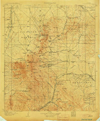
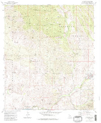
USGS Historical Quadrangle in GeoPDF.
USGS Historical Quadrangle in GeoPDF.
This dataset includes the magnetotelluric (MT) sounding data collected in 2008 in and near the Patagonia Mountains of Arizona. The U.S. Geological Survey (USGS) conducted a series of multidisciplinary studies as part of the Assessment Techniques for Concealed Mineral Resources project funded by the USGS Minerals Resources Program in cooperation with the U.S. Forest Service.
This dataset accompanies planned publication 'Detrital record of the Late Oligocene – Early Miocene mafic volcanic arc in the Southern Patagonian Andes (~51°S) from single-clast geochronology and trace element geochemistry'. The Ar/Ar data is for samples that record the detrital sedimentary record of the basin. The geochronology provides time constraints for the sedimentation studied in the manuscript. Samples were collected from the Magallanes-Austral Basin, and collection was supervised by Julie Fosdick, who sent them to the USGS for Ar/Ar analysis.
The legacy of mining exploration and operations can remain for decades to centuries if not treated, posing risks to human and animal health due to fugitive dispersal of metal(loid) laden dust and water. The use of endemic plants is key to the success of phytostabilization because endemics are adapted to the conditions prevailing in local mine sites. To this end, we evaluated the phytostabilization potential of endemic plant populations growing at two unmined mineralized sites and on metallic wastes at two historic mine operations and two sites un-impacted by mining operations within the Harshaw Mining District in southern Arizona. Included in this dataset are the physical (pH, Electrical Conductivity, total carbon...
This dataset includes the magnetotelluric (MT) sounding data collected in 2008 in and near the Patagonia Mountains of Arizona. The U.S. Geological Survey (USGS) conducted a series of multidisciplinary studies as part of the Assessment Techniques for Concealed Mineral Resources project funded by the USGS Minerals Resources Program in cooperation with the U.S. Forest Service.
Categories: Data;
Types: Citation,
Downloadable,
Map Service,
OGC WFS Layer,
OGC WMS Layer,
Shapefile;
Tags: Arizona,
CGGSC,
Crustal Geophysics and Geochemistry Science Center,
Cumero Canyon,
Electromagnetic surveying,
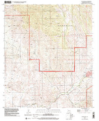
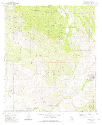
USGS Historical Quadrangle in GeoPDF.
This dataset includes the magnetotelluric (MT) sounding data collected in 2008 in and near the Patagonia Mountains of Arizona. The U.S. Geological Survey (USGS) conducted a series of multidisciplinary studies as part of the Assessment Techniques for Concealed Mineral Resources project funded by the USGS Minerals Resources Program in cooperation with the U.S. Forest Service.
Bottom simulating reflections (BSRs) are seismic features that are imaged in marine sediments using high-energy, impulsive seismic sources such as air guns or generator-injector guns. BSRs often cut across sediment stratigraphy and are interpreted as marking the deepest depth at which gas hydrate can exist. Gas hydrate is a naturally occurring and widely distributed frozen form of water and gas (usually methane) stable at low temperatures (up to about 25 degrees Celsius [°C]) and intermediate pressures (those that usually correspond to greater than 500 meters water depth). BSRs have been mapped in all the world’s oceans, in inland seas (such as the Black Sea), and in Lake Baikal in Russia. This data release consists...
Categories: Data;
Types: Map Service,
OGC WFS Layer,
OGC WMS Layer,
OGC WMS Service;
Tags: Alaska,
Amazonia,
Antarctica,
Arctic,
Argentina,
Mapping the spatial dynamics of perceived social value across the landscape can help develop a restoration economy that can support ecosystem services in the region. Many different methods have been used to map perceived social value. We used the Social Values for Ecosystem Services (SolVES) GIS tool, version 3.0, which uses social survey responses and various environmental variables to map social value. In the social survey distributed by the Borderlands Restoration Network (BRN) in May 2017, the respondents were asked to consider twelve different social values and map locations on a map where they perceived those social values to be. Additionally, they were asked to weigh each social value using a total of 100...
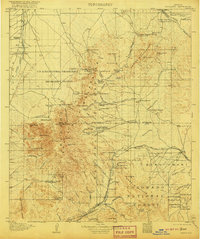
USGS Historical Quadrangle in GeoPDF.
This dataset includes the magnetotelluric (MT) sounding data collected in 2008 in and near the Patagonia Mountains of Arizona. The U.S. Geological Survey (USGS) conducted a series of multidisciplinary studies as part of the Assessment Techniques for Concealed Mineral Resources project funded by the USGS Minerals Resources Program in cooperation with the U.S. Forest Service.
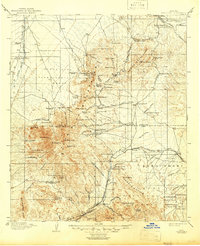
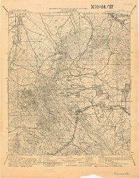
USGS Historical Quadrangle in GeoPDF.
USGS Historical Quadrangle in GeoPDF.
This dataset includes the magnetotelluric (MT) sounding data collected in 2008 in and near the Patagonia Mountains of Arizona. The U.S. Geological Survey (USGS) conducted a series of multidisciplinary studies as part of the Assessment Techniques for Concealed Mineral Resources project funded by the USGS Minerals Resources Program in cooperation with the U.S. Forest Service.
This dataset includes the magnetotelluric (MT) sounding data collected in 2008 in and near the Patagonia Mountains of Arizona. The U.S. Geological Survey (USGS) conducted a series of multidisciplinary studies as part of the Assessment Techniques for Concealed Mineral Resources project funded by the USGS Minerals Resources Program in cooperation with the U.S. Forest Service.
USGS Historical Quadrangle in GeoPDF.
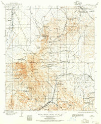
USGS Historical Quadrangle in GeoPDF.
This location is part of the Arizona Mineral Industry Location System (AzMILS), an inventory of mineral occurences, prospects and mine locations in Arizona. SantaCruz44C is located in T23S R16E Sec 15 ALL in the Harshaw - 7.5 Min quad. This collection consists of various reports, maps, records and related materials acquired by the Arizona Department of Mines and Mineral Resources regarding mining properties in Arizona. Information was obtained by various means, including the property owners, exploration companies, consultants, verbal interviews, field visits, newspapers and publications. Some sections may be redacted for copyright. Please see the access statement.
This dataset includes the magnetotelluric (MT) sounding data collected in 2008 in and near the Patagonia Mountains of Arizona. The U.S. Geological Survey (USGS) conducted a series of multidisciplinary studies as part of the Assessment Techniques for Concealed Mineral Resources project funded by the USGS Minerals Resources Program in cooperation with the U.S. Forest Service.
|

|
