Filters: Tags: Peoria (X)
130 results (91ms)|
Filters
Date Range
Extensions Types
Contacts
Categories Tag Types Tag Schemes |
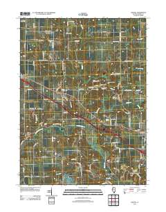
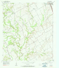
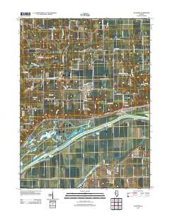
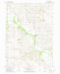
Layered GeoPDF 7.5 Minute Quadrangle Map. Layers of geospatial data include orthoimagery, roads, grids, geographic names, elevation contours, hydrography, and other selected map features.
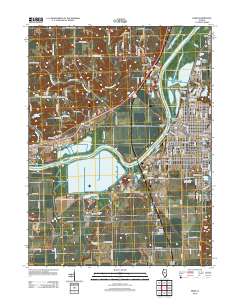
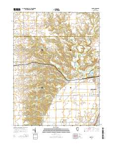
Layered GeoPDF 7.5 Minute Quadrangle Map. Layers of geospatial data include orthoimagery, roads, grids, geographic names, elevation contours, hydrography, and other selected map features.
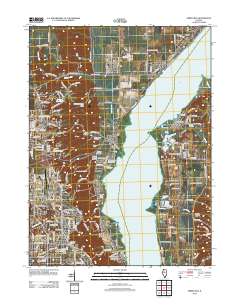
Layered GeoPDF 7.5 Minute Quadrangle Map. Layers of geospatial data include orthoimagery, roads, grids, geographic names, elevation contours, hydrography, and other selected map features.
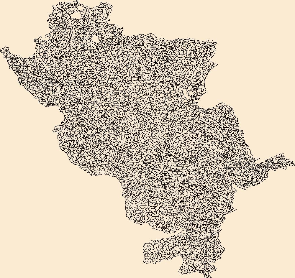
Geospatial data is comprised of government boundaries.
Geospatial data includes structures and other selected map features.

The Geographic Names Information System (GNIS) is the Federal standard for geographic nomenclature. The U.S. Geological Survey developed the GNIS for the U.S. Board on Geographic Names, a Federal inter-agency body chartered by public law to maintain uniform feature name usage throughout the Government and to promulgate standard names to the public. The GNIS is the official repository of domestic geographic names data; the official vehicle for geographic names use by all departments of the Federal Government; and the source for applying geographic names to Federal electronic and printed products of all types.
The National Hydrography Dataset (NHD) is a feature-based database that interconnects and uniquely identifies the stream segments or reaches that make up the nation's surface water drainage system. NHD data was originally developed at 1:100,000-scale and exists at that scale for the whole country. This high-resolution NHD, generally developed at 1:24,000/1:12,000 scale, adds detail to the original 1:100,000-scale NHD. (Data for Alaska, Puerto Rico and the Virgin Islands was developed at high-resolution, not 1:100,000 scale.) Local resolution NHD is being developed where partners and data exist. The NHD contains reach codes for networked features, flow direction, names, and centerline representations for areal water...
Using high-resolution sonar technologies with geographic information systems (GIS) and object based image analysis, benthic habitats of the Illinois River will be interpreted to support Asian carp research, monitoring and control. The entire study plan will consist of data collection and analysis of the Brandon, Dresden, Starved Rock, Marseilles, Peoria, La Grange and Alton reaches of the Illinois River. Reaches with larger aquatic areas (Peoria, La Grange and Alton), will have priority areas and backwaters collected and analyzed first.
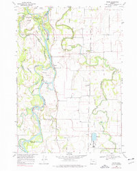
USGS Historical Quadrangle in GeoPDF.
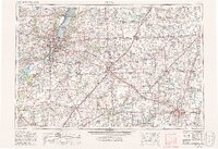
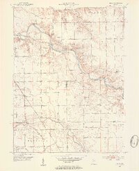
USGS Historical Quadrangle in GeoPDF.
The Fluvial Egg Drift Simulator (FluEgg) estimates bighead, silver, and grass carp egg and larval drift in rivers using species-specific egg developmental data combined with user-supplied hydraulic inputs (Garcia and others, 2013; Domanski, 2020). This data release contains results from 240 FluEgg 4.1.0 simulations of bighead carp eggs in the Illinois River under steady flow conditions. The data release also contains the hydraulic inputs used in the FluEgg simulations and a KML file of the centerline that represents the model domain. FluEgg simulations were run for all combinations of four spawning locations, six water temperatures, and ten steady flow conditions. Each simulation included 5,000 bighead carp eggs,...
A variety of new technologies are being evaluated to mitigate the spread of invasive carps from the Illinois River to the Great Lakes. In 2022, the U.S. Army Corps of Engineers, U.S. Fish and Wildlife Service, and U.S. Geological Survey undertook a field-scale interagency study to determine the efficacy of an Automated Barge Clearing Deterrent (ABCD) in flushing live fish away from commercial barge vessels entering Peoria Lock on the Illinois River. The ABCD is a forced air manifold system that is placed at the channel bed to create a longitudinal array of bubble plumes. In support of this study, the bathymetry (bottom elevation) of the downstream approach to Peoria Lock, near Peoria, Illinois, was surveyed several...
Layered GeoPDF 7.5 Minute Quadrangle Map. Layers of geospatial data include orthoimagery, roads, grids, geographic names, elevation contours, hydrography, and other selected map features.
Layered GeoPDF 7.5 Minute Quadrangle Map. Layers of geospatial data include orthoimagery, roads, grids, geographic names, elevation contours, hydrography, and other selected map features.
Using high-resolution sonar technologies with geographic information systems (GIS) and object based image analysis, benthic characteristics of the Illinois River have been interpreted to support Asian carp research, monitoring and control. The study plan consisted of data collection and analysis of the Brandon, Dresden, Starved Rock, Marseilles, Peoria, La Grange and Alton reaches of the Illinois River. Reaches with larger aquatic areas (Peoria, La Grange and Alton), had areas prioritized for data collection and analysis.
USGS Historical Quadrangle in GeoPDF.
USGS Historical Quadrangle in GeoPDF.
USGS Historical Quadrangle in GeoPDF.

USGS Historical Quadrangle in GeoPDF.
The Watershed Boundary Dataset (WBD) is a comprehensive aggregated collection of hydrologic unit data consistent with the national criteria for delineation and resolution. It defines the areal extent of surface water drainage to a point except in coastal or lake front areas where there could be multiple outlets as stated by the "Federal Standards and Procedures for the National Watershed Boundary Dataset (WBD)" "Standard" (https://pubs.usgs.gov/tm/11/a3/). Watershed boundaries are determined solely upon science-based hydrologic principles, not favoring any administrative boundaries or special projects, nor particular program or agency. This dataset represents the hydrologic unit boundaries to the 12-digit (6th level)...
|

|
