Filters: Tags: Piedmont (X)
48 results (258ms)|
Filters
Date Range
Extensions Types
Contacts
Categories Tag Types
|
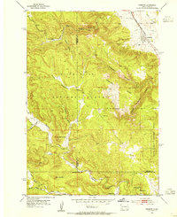
USGS Historical Quadrangle in GeoPDF.
Surficial geologic map the Newman Peak Quadrangle of the Picacho Basin. The Picacho basin is a large and complex graben surrounded by horsts and half-horsts, which are now the Picacho, Casa Grande, Silverbell, and Sacaton mountains. It formed mainly in response to late Miocene extension. Internal drainage probably persisted until about 3 million years ago. Several thousand meters of sediments fill the basin; 2000 m of evaporites and claystone form the bulk of the basin fill (Scarborough and Pierce, 1978). The upper 200 meters or so of basin fill was deposited by a gradually aggrading, regionally integrated drainage system. Young alluvium of the Santa Cruz River is up to 30 m thick and is found within 3.2 km of the...
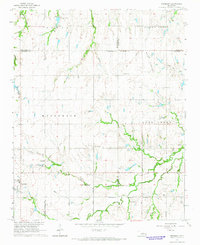
USGS Historical Quadrangle in GeoPDF.
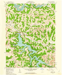
USGS Historical Quadrangle in GeoPDF.
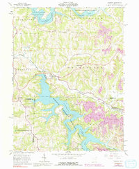
USGS Historical Quadrangle in GeoPDF.
USGS Historical Quadrangle in GeoPDF.
USGS Historical Quadrangle in GeoPDF.
Surficial geologic maps of the Eloy South Quadrangle of the Picacho Basin. The Picacho basin is a large and complex graben surrounded by horsts and half-horsts, which are now the Picacho, Casa Grande, Silverbell, and Sacaton mountains. It formed mainly in response to late Miocene extension. Internal drainage probably persisted until about 3 million years ago. Several thousand meters of sediments fill the basin; 2000 m of evaporites and claystone form the bulk of the basin fill (Scarborough and Pierce, 1978). The upper 200 meters or so of basin fill was deposited by a gradually aggrading, regionally integrated drainage system. Young alluvium of the Santa Cruz River is up to 30 m thick and is found within 3.2 km of...
USGS Historical Quadrangle in GeoPDF.
USGS Historical Quadrangle in GeoPDF.
USGS Historical Quadrangle in GeoPDF.
USGS Historical Quadrangle in GeoPDF.
USGS Historical Quadrangle in GeoPDF.
The USGS Central Region Energy Team assesses oil and gas resources of the United States. The onshore and State water areas of the United States comprise 71 provinces. Within these provinces, hydrocarbon plays were defined and assessed. Each of these provinces is defined geologically, and most province boundaries are defined by major geologic changes. The province boundaries were drawn on the county lines that most closely followed the natural geologic boundaries.
Categories: Data;
Types: Downloadable,
Map Service,
OGC WFS Layer,
OGC WMS Layer,
Shapefile;
Tags: Adirondack Uplift,
Albuquerque - Santa Fe Rift,
Anadarko Basin,
Appalachian Basin,
Arkoma Basin,
USGS Historical Quadrangle in GeoPDF.
USGS Historical Quadrangle in GeoPDF.
USGS Historical Quadrangle in GeoPDF.
Dependable access to critical minerals information is vital to ensuring the continued domestic security and economic prosperity of the United States. At present, Alabama has known deposits, prospects, and occurrences of at least 21 of these commodities, including aluminum, arsenic, barium, beryllium, chromium, cobalt, fluorite, graphite, lithium, magnesium, manganese, platinum group metals (PGMs), rare earth elements (REEs), tantalum, tin, thorium, titanium, uranium, vanadium, zinc, and zirconium; but may have as many 31, including potential occurrences of gallium, germanium, hafnium, indium, lanthanum, nickel, niobium, rhenium, selenium, and yttrium. Although none of these commodities are currently being produced...
Categories: Data;
Types: Collection,
Map Service,
OGC WFS Layer,
OGC WMS Layer,
OGC WMS Service;
Tags: Alabama,
Alabama graphite belt,
Alabama graphite-V belt,
Alabama pegmatite zone,
Alleghanian-Neoacadian regolith,
This data release includes whole rock geochemical data, and uranium-lead isotopic data collected by both Laser Ablation Inductively Coupled Plasma Mass Spectrometry (LA-ICP-MS) and Sensitive High Resolution Ion Microprobe-Reverse Geometry (SHRIMP-RG) methods. Whole rock geochemistry was collected by Activation Laboratories in Ancaster, Ontario. LA-ICP-MS data was collected at the PLASMA at the USGS in Denver, Colorado. SHRIMP-RG data was collected at the USGS-Stanford SHRIMP-RG in Palo Alto, California. Rock samples for all methods were collected by Mark Carter of the USGS. The whole rock geochemistry and uranium lead isotopic data constrain the age and origin of rocks in the newly defined Dinwiddie Terrane of eastern...
Categories: Data;
Tags: FBGC,
Florence Bascom Geoscience Center,
Geochemistry,
Geochemistry,
Geochronology,
USGS Historical Quadrangle in GeoPDF.
|

|
