Filters: Tags: Porterville (X)
22 results (149ms)|
Filters
Date Range
Extensions Types Contacts
Categories Tag Types Tag Schemes |
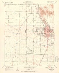
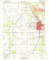
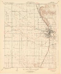
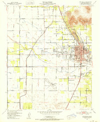
USGS Historical Quadrangle in GeoPDF.
Compressional- (P-) wave seismic refraction data were acquired in December 2018 and July 2019 along fourteen profiles within the spillway of Success Dam in Porterville, California. A new concrete ogee weir is planned for construction within the existing spillway, and the P-wave seismic velocity models will be used to inform further geotechnical investigations, including siting new geologic borings, and the advanced engineering design phases in terms of rock rippability and relative rock hardness/competency. Data acquisition, processing, and modeling were conducted collaboratively between the U.S. Geological Survey (USGS) and U.S. Army Corps of Engineers (USACE) Sacramento District. Data were acquired with Geometrics...
Categories: Data;
Tags: California,
GGGSC,
Geology, Geophysics, and Geochemistry Science Center,
Lake Success,
Porterville,
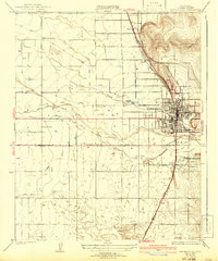
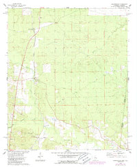
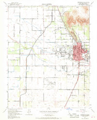
USGS Historical Quadrangle in GeoPDF.
USGS Historical Quadrangle in GeoPDF.
USGS Historical Quadrangle in GeoPDF.
USGS Historical Quadrangle in GeoPDF.
Success Dam spillway seismic refraction survey, Porterville, California, December 2018 and July 2019
Compressional- (P-) wave seismic refraction data were acquired in December 2018 and July 2019 along fourteen profiles within the spillway of Success Dam in Porterville, California. A new concrete ogee weir is planned for construction within the existing spillway, and the P-wave seismic velocity models will be used to inform further geotechnical investigations, including siting new geologic borings, and the advanced engineering design phases in terms of rock rippability and relative rock hardness/competency. Data acquisition, processing, and modeling were conducted collaboratively between the U.S. Geological Survey (USGS) and U.S. Army Corps of Engineers (USACE) Sacramento District. Data were acquired with Geometrics...
Categories: Data;
Types: Downloadable,
Map Service,
OGC WFS Layer,
OGC WMS Layer,
Shapefile;
Tags: California,
GGGSC,
Geology, Geophysics, and Geochemistry Science Center,
Geophysics,
Hydrology,
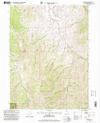
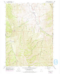
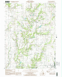
USGS Historical Quadrangle in GeoPDF.
USGS Historical Quadrangle in GeoPDF.
USGS Historical Quadrangle in GeoPDF.
USGS Historical Quadrangle in GeoPDF.
USGS Historical Quadrangle in GeoPDF.
USGS Historical Quadrangle in GeoPDF.
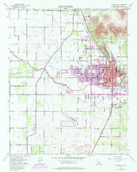
USGS Historical Quadrangle in GeoPDF.
USGS Historical Quadrangle in GeoPDF.
Compressional- (P-) wave seismic refraction data were acquired in December 2018 and July 2019 along fourteen profiles within the spillway of Success Dam in Porterville, California. A new concrete ogee weir is planned for construction within the existing spillway, and the P-wave seismic velocity models will be used to inform further geotechnical investigations, including siting new geologic borings, and the advanced engineering design phases in terms of rock rippability and relative rock hardness/competency. Data acquisition, processing, and modeling were conducted collaboratively between the U.S. Geological Survey (USGS) and U.S. Army Corps of Engineers (USACE) Sacramento District. Data were acquired with Geometrics...
Categories: Data;
Tags: California,
GGGSC,
Geology, Geophysics, and Geochemistry Science Center,
Lake Success,
Porterville,
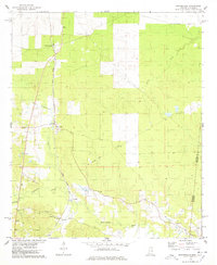
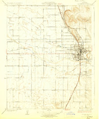
USGS Historical Quadrangle in GeoPDF.
USGS Historical Quadrangle in GeoPDF.
USGS Historical Quadrangle in GeoPDF.
USGS Historical Quadrangle in GeoPDF.
|

|
