Filters: Tags: Powder River (X) > Types: Citation (X)
4 results (34ms)|
Filters
Date Range
Extensions Contacts
Categories Tag Types Tag Schemes |
ABSTRACT: As coal resources are developed in the Northern Great Plains regions, new reservoirs are being considered to meet expanding water demands. The amount of water available for industrial diversion, however, could be limited by regulations that require minimum flow levels to be maintained downstream of the reservoir sites. Computer simulations of potential reservoirs were used to determine to what extent, if any, instream flow requirements might limit the ability of reservoirs to deliver industrial water supplies. Data on instream flow requirements, potential reservoir sites, and historic runoff were input for the simulation of the Powder River Region of Montana and Wyoming. Results of the simulations compared...
Categories: Publication;
Types: Citation;
Tags: Powder River,
coal,
instream flow requirements,
reservoir simulation,
water demand
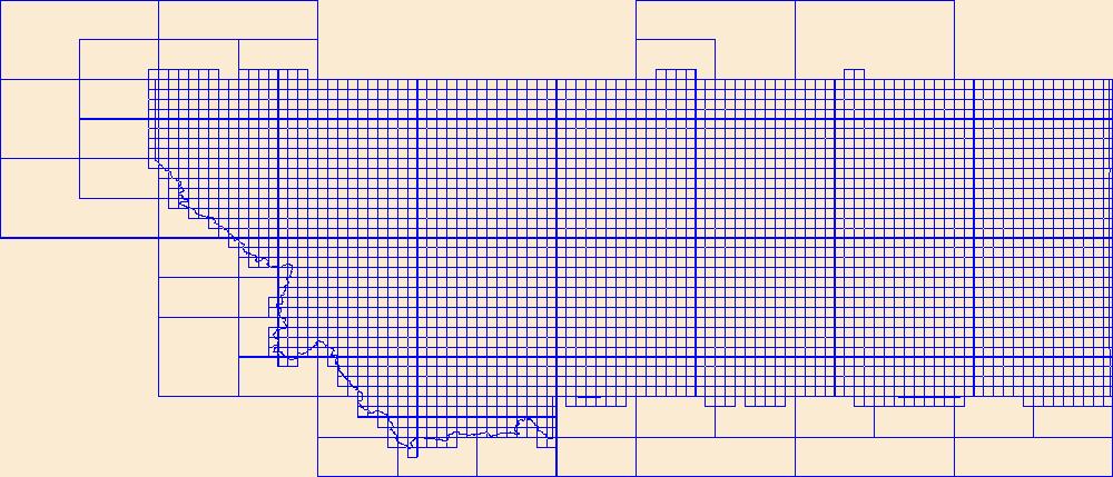
This data represents the map extent for current and historical USGS topographic maps for the United States and Territories, including 1 X 2 Degree, 1 X 1 Degree, 30 X 60 Minute, 15 X 15 Minute, 7.5 X 7.5 Minute, and 3.75 X 3.75 Minute. The grid was generated using ESRI ArcInfo GIS software.
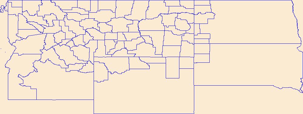
Geospatial data is comprised of government boundaries.
|

|
