Filters
Date Range
Types
Contacts
Categories
Tag Types
Tag Schemes
|
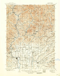
USGS Historical Quadrangle in GeoPDF.
Tags: 30 x 30 minute,
CA,
Downloadable Data,
GeoPDF,
GeoTIFF, All tags...
Historical Topographic Maps,
Historical Topographic Maps 30 x 30 Minute Map Series,
Map,
Redding,
imageryBaseMapsEarthCover, Fewer tags
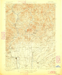
USGS Historical Quadrangle in GeoPDF.
Tags: 30 x 30 minute,
CA,
Downloadable Data,
GeoPDF,
GeoTIFF, All tags...
Historical Topographic Maps,
Historical Topographic Maps 30 x 30 Minute Map Series,
Map,
Redding,
imageryBaseMapsEarthCover, Fewer tags

California's State Water Resources Control Board (SWRCB) wishes to quantify how water and constituents introduced via the outflow from the Spring Creek Diversion Dam mix with water within Keswick Reservoir. Of primary interest is the degree of dilution that exists when this introduced flow reaches the main stem of Keswick Reservoir, and how this mixing is influenced by different operational parameters of the system. In addition to flows through the three relevant dams (Spring Creek Debris Dam, Keswick Dam, and Shasta Dam) that must be considered, there is additional flow entering the Spring Creek Arm of the Keswick Reservoir via two penstocks that carry water from Whiskeytown Lake - in a different watershed - to...
Categories: Data;
Tags: Contaminants,
Hydrodynamics,
Hydrology,
Keswick Reservoir,
Limnology, All tags...
Redding,
Rhodamine Dye,
Sacramento River,
Shasta Dam,
Spring Creek Debris Dam,
USGS Science Data Catalog (SDC),
Water Quality,
biota,
three-dimensional numerical modeling, Fewer tags
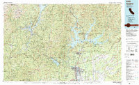
USGS Historical Quadrangle in GeoPDF.
Tags: 30 x 60 minute,
CA,
Downloadable Data,
GeoPDF,
GeoTIFF, All tags...
Historical Topographic Maps,
Historical Topographic Maps 30 x 60 Minute Map Series,
Map,
Redding,
imageryBaseMapsEarthCover, Fewer tags

Application of Delft3D-FM model to Keswick Reservoir in California, for short-term (days) simulations. Model archive includes source code (open-source, created by Deltares in the Netherlands), input files, and output files in netCDF format. Source code will need to be compiled for the operating system and hardware being used. Instructions are included with the source code. A separate data release (https://www.sciencebase.gov/catalog/item/62e16507d34e10763b599008) contains related field data that have been used as input for model calibration runs.
Types: Map Service,
OGC WFS Layer,
OGC WMS Layer,
OGC WMS Service;
Tags: California,
Delft3D-FM,
Hydrology,
Keswick Reservoir,
Redding, All tags...
USGS Science Data Catalog (SDC),
Water Quality,
Water Resources,
environment,
hydrodynamics,
mixing, Fewer tags
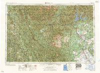
USGS Historical Quadrangle in GeoPDF.
Tags: 1 x 2 degree,
CA,
Downloadable Data,
GeoPDF,
GeoTIFF, All tags...
Historical Topographic Maps,
Historical Topographic Maps 1 x 2 Degree Map Series,
Map,
Redding,
imageryBaseMapsEarthCover, Fewer tags
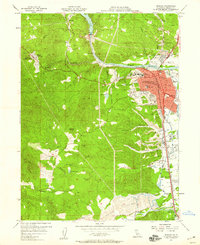
USGS Historical Quadrangle in GeoPDF.
Tags: 7.5 x 7.5 minute,
CA,
Downloadable Data,
GeoPDF,
GeoTIFF, All tags...
Historical Topographic Maps,
Historical Topographic Maps 7.5 x 7.5 Minute Map Series,
Map,
Redding,
imageryBaseMapsEarthCover, Fewer tags
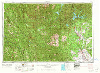
USGS Historical Quadrangle in GeoPDF.
Tags: 1 x 2 degree,
CA,
Downloadable Data,
GeoPDF,
GeoTIFF, All tags...
Historical Topographic Maps,
Historical Topographic Maps 1 x 2 Degree Map Series,
Map,
Redding,
imageryBaseMapsEarthCover, Fewer tags
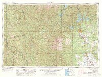
USGS Historical Quadrangle in GeoPDF.
Tags: 1 x 2 degree,
CA,
Downloadable Data,
GeoPDF,
GeoTIFF, All tags...
Historical Topographic Maps,
Historical Topographic Maps 1 x 2 Degree Map Series,
Map,
Redding,
imageryBaseMapsEarthCover, Fewer tags
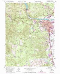
USGS Historical Quadrangle in GeoPDF.
Tags: 7.5 x 7.5 minute,
CA,
Downloadable Data,
GeoPDF,
GeoTIFF, All tags...
Historical Topographic Maps,
Historical Topographic Maps 7.5 x 7.5 Minute Map Series,
Map,
Redding,
imageryBaseMapsEarthCover, Fewer tags
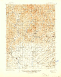
USGS Historical Quadrangle in GeoPDF.
Tags: 30 x 30 minute,
CA,
Downloadable Data,
GeoPDF,
GeoTIFF, All tags...
Historical Topographic Maps,
Historical Topographic Maps 30 x 30 Minute Map Series,
Map,
Redding,
imageryBaseMapsEarthCover, Fewer tags
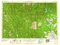
USGS Historical Quadrangle in GeoPDF.
Tags: 1 x 2 degree,
CA,
Downloadable Data,
GeoPDF,
GeoTIFF, All tags...
Historical Topographic Maps,
Historical Topographic Maps 1 x 2 Degree Map Series,
Map,
Redding,
imageryBaseMapsEarthCover, Fewer tags
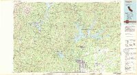
USGS Historical Quadrangle in GeoPDF.
Tags: 30 x 60 minute,
CA,
Downloadable Data,
GeoPDF,
GeoTIFF, All tags...
Historical Topographic Maps,
Historical Topographic Maps 30 x 60 Minute Map Series,
Map,
Redding,
imageryBaseMapsEarthCover, Fewer tags
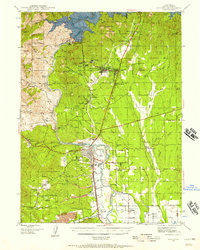
USGS Historical Quadrangle in GeoPDF.
Tags: 15 x 15 minute,
CA,
Downloadable Data,
GeoPDF,
GeoTIFF, All tags...
Historical Topographic Maps,
Historical Topographic Maps 15 x 15 Minute Map Series,
Map,
Redding,
imageryBaseMapsEarthCover, Fewer tags

This dataset was produced from analyzing Affinisep SDB-RPS, Affinisep HLB, and Restek Resprep C18 disks that were deployed with the use of Chemcatcher® passive sampling devices. Silicone bands were also deployed and used for exploring economical methods of sampling for pesticides in surface water. Sampling assemblies were deployed in streams throughout the foothills of the Sierra Nevada range and California's northern Central Valley from 2017 to 2019. Samples were extracted in situ then eluted and concentrated at the Organic Chemistry Research Laboratory in Sacramento, CA. Samples from silicone bands were extracted via agitation in appropriate solvents. Samples were analyzed for a suite of 155 pesticides and degradates...
Categories: Data;
Tags: Affinisep,
C18,
California,
Chemcatcher,
Degradates, All tags...
Gas Chromatography,
HLB,
Honcut Creek,
Hydrology,
Liquid Chromatography,
Mass Spectrometry,
North Fork Calaveras River,
Oregon Creek,
Pesticides,
Rattlesnake Creek,
Redding,
Resprep,
Restek,
SDB-RPS,
SPE,
Sacramento River,
Sierra Nevada,
Silicone Bands,
Solid Phase Extraction,
South Fork American River,
Surface water,
USGS Science Data Catalog (SDC),
United States,
Water Quality,
environment,
inlandWaters, Fewer tags
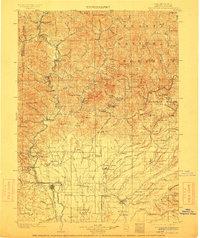
USGS Historical Quadrangle in GeoPDF.
Tags: 30 x 30 minute,
CA,
Downloadable Data,
GeoPDF,
GeoTIFF, All tags...
Historical Topographic Maps,
Historical Topographic Maps 30 x 30 Minute Map Series,
Map,
Redding,
imageryBaseMapsEarthCover, Fewer tags
USGS Historical Quadrangle in GeoPDF.
Tags: 1 x 2 degree,
CA,
Downloadable Data,
GeoPDF,
GeoTIFF, All tags...
Historical Topographic Maps,
Historical Topographic Maps 1 x 2 Degree Map Series,
Map,
Redding,
imageryBaseMapsEarthCover, Fewer tags
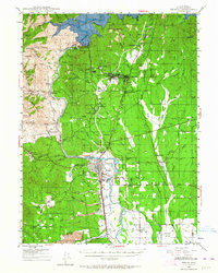
USGS Historical Quadrangle in GeoPDF.
Tags: 15 x 15 minute,
CA,
Downloadable Data,
GeoPDF,
GeoTIFF, All tags...
Historical Topographic Maps,
Historical Topographic Maps 15 x 15 Minute Map Series,
Map,
Redding,
imageryBaseMapsEarthCover, Fewer tags
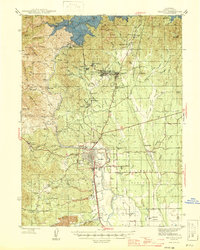
USGS Historical Quadrangle in GeoPDF.
Tags: 15 x 15 minute,
CA,
Downloadable Data,
GeoPDF,
GeoTIFF, All tags...
Historical Topographic Maps,
Historical Topographic Maps 15 x 15 Minute Map Series,
Map,
Redding,
imageryBaseMapsEarthCover, Fewer tags
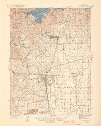
USGS Historical Quadrangle in GeoPDF.
Tags: 15 x 15 minute,
CA,
Downloadable Data,
GeoPDF,
GeoTIFF, All tags...
Historical Topographic Maps,
Historical Topographic Maps 15 x 15 Minute Map Series,
Map,
Redding,
imageryBaseMapsEarthCover, Fewer tags
|
|
