Filters: Tags: Rice Creek (X)
5 results (54ms)|
Filters
Date Range
Types Contacts
Tag Types Tag Schemes |
A series of simple linear regression models were developed for the U.S. Geological Survey (USGS) streamgage at Rice Creek below Highway 8 in Mounds View, Minnesota (USGS station number 05288580). The simple linear regression models were calibrated using streamflow data to estimate suspended-sediment (total, fines, and sands) and bedload. Data were collected during water years 2010, 2011, 2014, 2018, and 2019. The estimates from the simple linear regressions were used to calculate loads for water years 2010 through 2019. The calibrated simple linear regression models were used to improve understanding of sediment transport processes and increase accuracy of estimating sediment and loads for Rice Creek. Two multidimensional...
Types: Map Service,
OGC WFS Layer,
OGC WMS Layer,
OGC WMS Service;
Tags: Geomorphology,
Hydrology,
Minnesota,
Rice Creek,
Sedimentology,
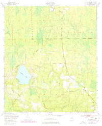
USGS Historical Quadrangle in GeoPDF.
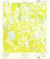
USGS Historical Quadrangle in GeoPDF.
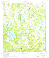
USGS Historical Quadrangle in GeoPDF.
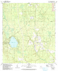
USGS Historical Quadrangle in GeoPDF.
|

|
